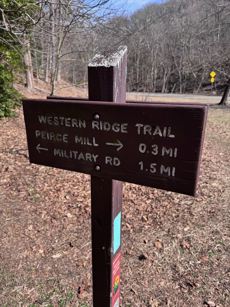
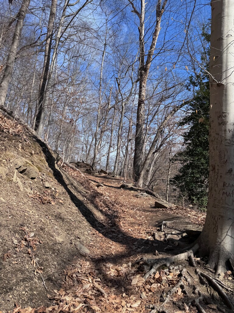
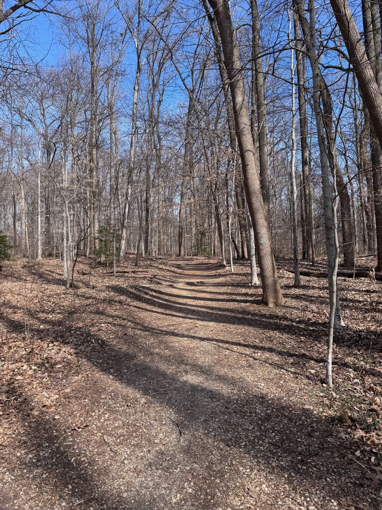
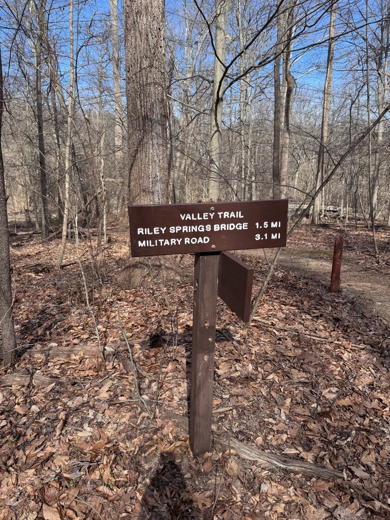
Rock Creek Park is a gem in the nation's capital. It's 1,754 acres provide its visitors a way to reconnect with nature in spite of being located in the heart of an urban setting. The Western Ridge and Valley Trails are the main north-south trails in the park, and they span the entirety of the wide section of the park. This loop is the premier route in the park, allowing you to explore the vast majority of its terrain. With hills, flats, creek crossings, and some technical rocky and root strew sections, this loop has something for everyone. It is most beautiful in the spring, when the leaves are sprouting, flowers are blooming, and Rock Creek is full. However, the changing colors of fall leaves rivals the spring in its beauty.
The route is described on this Trail Run Project site, where it is, as of the submission of this route, the number 1 route in Washington, DC. The GPX is taken from that site, and the distance and elevation gain are based off the CalTopo analysis of that GPX file. Most of the route is clearly labeled with blazes. However, one potentially confusing section is just north of the Rock Creek Park Community Garden (plus code - XW8W+WJM or Google Maps link), where the map of the Western Ridge Trail and the GPX do not follow the green blazes that mark the rest of that trail. In that segment, follow the paved bike trail. The full loop technically goes to the middle of the Western Ridge Parking Lot, where the Trail Run Project route officially starts and ends.
In order to make this FKT accessible to people from different parts of DC and Maryland, FKT submissions can start and end the route anywhere on the loop. Either direction is also acceptable. However, there are two most common starting points for the loop - the Western Ridge Parking Lot (plus code - WWVX+GV or Google Maps link) and the Rock Creek Park Boundary Bridge Parking (plus code XWPW+JQ or Google Maps link).
FKTs must follow the GPX. This is not an Open Course.