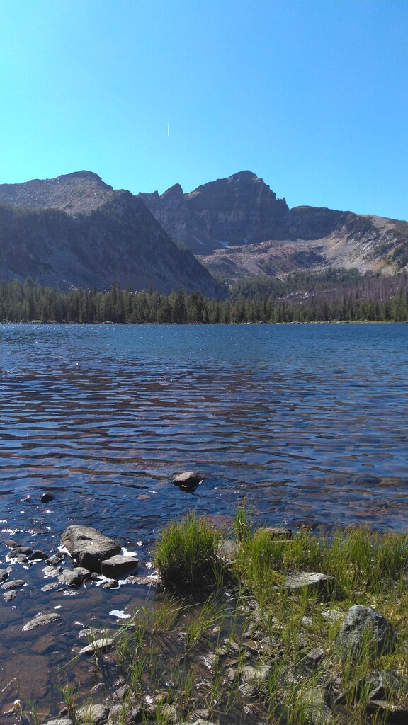
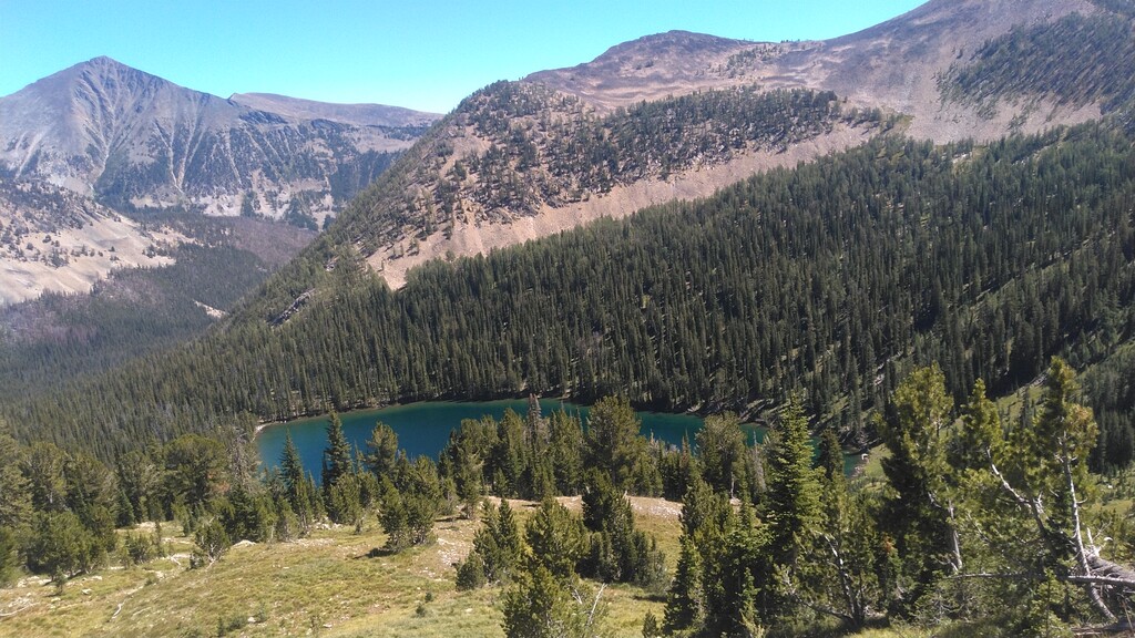
The Anaconda Pintler Wilderness is Montana's best kept secret. It has all the beauty and grandeur of Glacier National Park without the crowds. Over four days and 85 miles of scouting and running these trails, I only saw 6 people. I have waited 6 years to submit this route simply becuase I was scared of it getting crowded. The entirety of the route overlooks the Big Hole Valley, near Wisdom, MT. The lack of light pollution and high elevation of the route make it one of the best locations in the lower 48 states for star gazing, and with almost 60 miles and 13,000 feet of gain, there is a good chance you will be finishing in the dark. The closest town of Wisdom, is literally a gast station and a post office with almost no services. This route has it all, ridge rides, crossing high elevation mountain passes, running along the shores of five alpine lakes, huge climbs and endless downhills. There is plenty of chances to filter water, and go for a swim. Plenty of amazing views and photo opportunities. This is Montana at its finest, truly the last of the Last Best Place. This route is remote, unpopulated, and home to a healthy population of Grizzly bears, Black bears and Mountain Lions, (Carry bear spray). There is almost no cell service in the area. There is no local police force, fire department, and little in the way of search and rescue. The entire ranger district only has 2 employees. This route is not for the inexperienced, the faint of heart, or the unprepared. Expect to self Rescue.
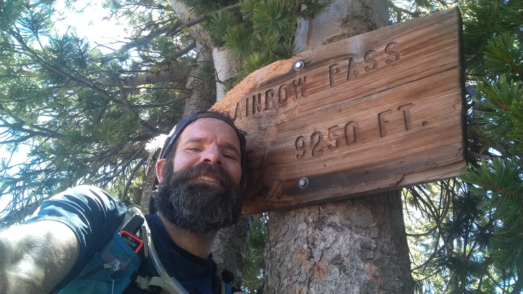
Starting at Mussigbrod Lake Campground near Wisdom, MT, follow the Mussigbrod Lake trail, 1.4 miles to its intersection with Hellroaring trail. Take a right and continue follwing Mussigbrod trail to mile 5.4. Take a right on The continental Divide trail. You will follow the CDT for approximately 39 miles past several trail intersection, past Johnson Lake, Martin Lake, Rainbow lake and Rainbow Pass. When you Arrive on Goat Flat Plateau look for the intersection with Upper Seymour Lake trail, around mile 44.5. Take a right on Upper Seymour trail and follow it down to the Lower Seymour Lake trailhead. My Strava track recorded 57.5 miles with 12,995. The Gpx. estimates the 53 miles with 11,000 feet of gain.