von Altenahr bis Bad Bodendorf, 35,6km with 1444m vertical
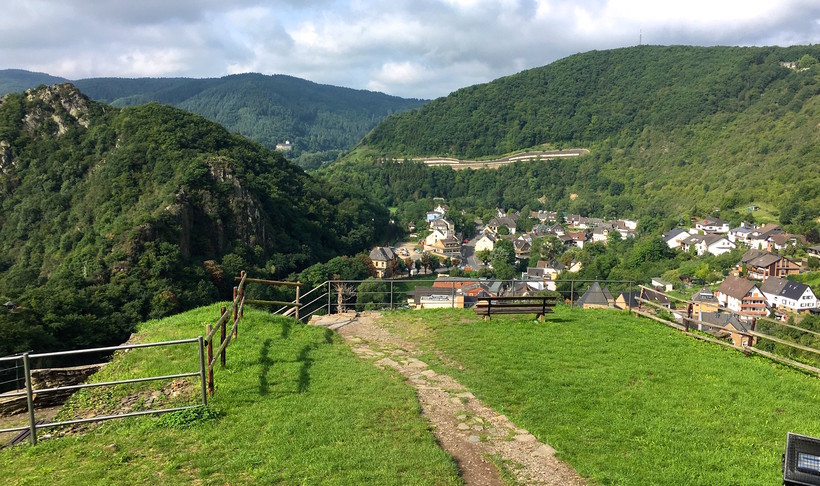
The Rotweinwanderweg is a 35 km walking trail that winds through the Ahr Valley (Ahrtahl in German) past hilltop ruins, countless vineyards, forests and open fields between the villages of Altenahr and Bad Bodensdorf. That said, you certainly don’t need to hike the entire route.
https://www.ich-geh-wandern.de/gps-daten/rotweinwanderweg-ahrtal
https://www.rotweinwanderweg.de
https://de.wikipedia.org/wiki/Rotweinwanderweg
Timothy Engel added:
The Ahr region has undergone a very varied political development. A lot of castle ruins as well as old city walls still bear witness to this today. The area once belonged to the Franconian Ahrgau and then mostly to the county of Are before it fell into various dominions.
Just as torn apart as the rocky landscape still shows itself to the visitor today, so torn apart were the political conditions in former times - at least until the French Revolution.
It's hard to believe, but if you had walked along today's Red Wine Trail before 1794, you would have changed the dominion five times during this hike.
Comments
Will attempt to complete this tomorrow under three hours
35.6km with 906m vertical