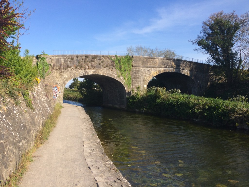
The Royal Canal is a way marked route follows the along the banks of Irelands Royal Canal for 145.6km (90miles) from the River Liffey in Dublin City Centre to the Camlin River which connects to the River Shannon in Cloondara, County Longford, passing through counties Kildare, Meath and Westmeath enroute. The Royal Canal was built between 1790 and 1817 to link the capital of Ireland to its largest river and allow trade and produce move more easily through the country. The canal fell into disrepair in the 1950s and was closed to trade but has since been redeveloped as a pleasure amenity reopening to navigation in 2010 and since then the old trails that the horses would use to pull the barges has been developed into a Greenway.
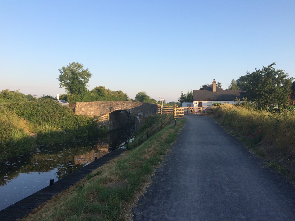
The route is relatively flat only rising and falling at the locks. The majority of the route has become a National Greenway with a wide dedicated path for walkers, runners and cyclists which is made of a variety of surfaces but mainly a compacted dust stone with some tarmaced areas and a few farmers access roads which are the only areas that carry motorized traffic. There are a few sections of the Greenway which have yet to be completed and these include a few narrow trails through an area known as the deep sinking but apart from a 400m diversion at the beginning of the route to get from the Sea Lock to the First Lock the entire route is alongside the banks of the canal. Planning is in place to develop the last remaining trail sections up to the same standard as the rest of the Greenway but a completion date is still some years off. That said the entire route is accessible and in public ownership so there are no restrictions to access, albeit runners need to be aware of their own security along the route.
The majority of the route is in a rural setting but passes through several small towns and villages along the way with the notable large town of Mullingar and the city of Dublin.
Wikipedia Link to the Royal Canal: https://en.wikipedia.org/wiki/Royal_Canal
Comments
I am intending on doing this route on Friday 21st of June starting at 00:00 local time at the Sea Lock in Dublin City Centre and heading west to Cloondara. I will be doing it as a supported run with several pacers running segments with me along with two crew vehicles who will be providing me at suitable locations along the way. I am hoping to complete the route (145.6km) in 21 hours.
One of my crew will be live tweeting updates of my attempt from my twitter account @royalcanalrunner and posting to my royalcanalrunner Instagram account. I will be using a Garmin Forerunner 235 to record my run as I can also charge it while it continues recording. Given the rural nature and lack of signal of much of the route I will not have a live tracker available.
Just wanted to put it out there that if anyone is considering this route (and I think my time is low hanging fruit) I am more than happy to share any and all information I have for the route, just give me a shout on my Twitter @royalcanalrunner