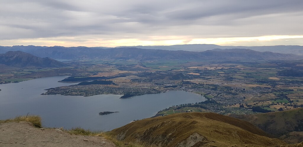
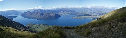
Location
New Zealand
Distance
16 km
Vertical Gain
1,578 m
Description
GPS Track
Roys_Peak_Track.gpx2.27 MB
FKTs
Male
Female
| Thomas Barnes | 1h 26m 25s | ||||
| Peter Braga | 1h 43m 41s | ||||
| Jase Trimmer | 2h 17m 14s |
| Sarah Siegel | 2h 26m 52s |
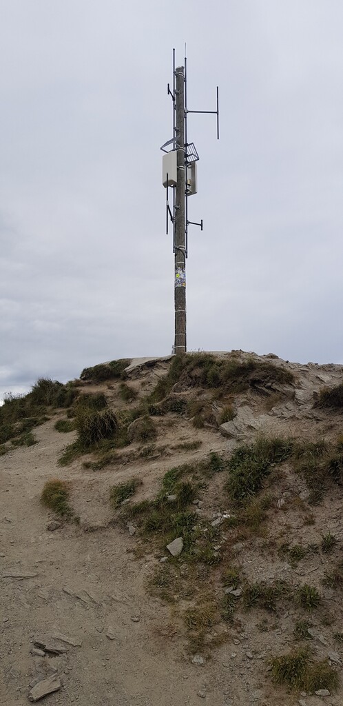
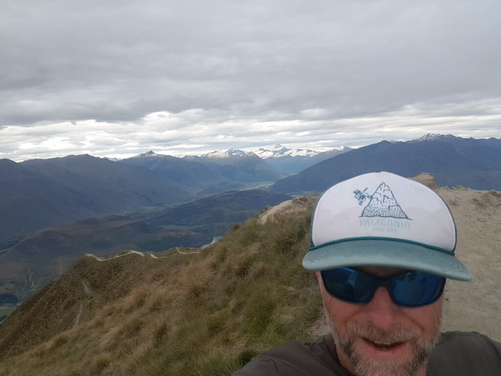
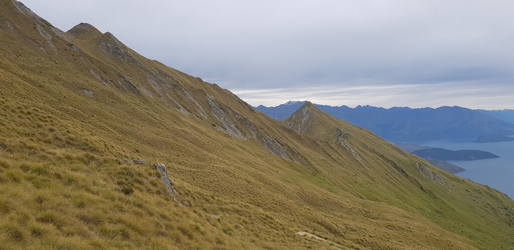
Images
Comments
Roy’s Peak is a regular Friday morning run for locals. Start any time; aim to meet on the summit at 7 a.m. Everyone runs down together. The FKT for the ascent (car park to summit) is 51 minutes. The complete round trip has often been done in around 1:30.
It’s important to remember the ‘no drones’ rule, as the area is regularly used by paragliders and helicopters.
Enjoy! It’s a great run!