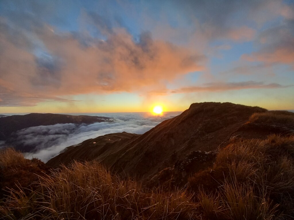
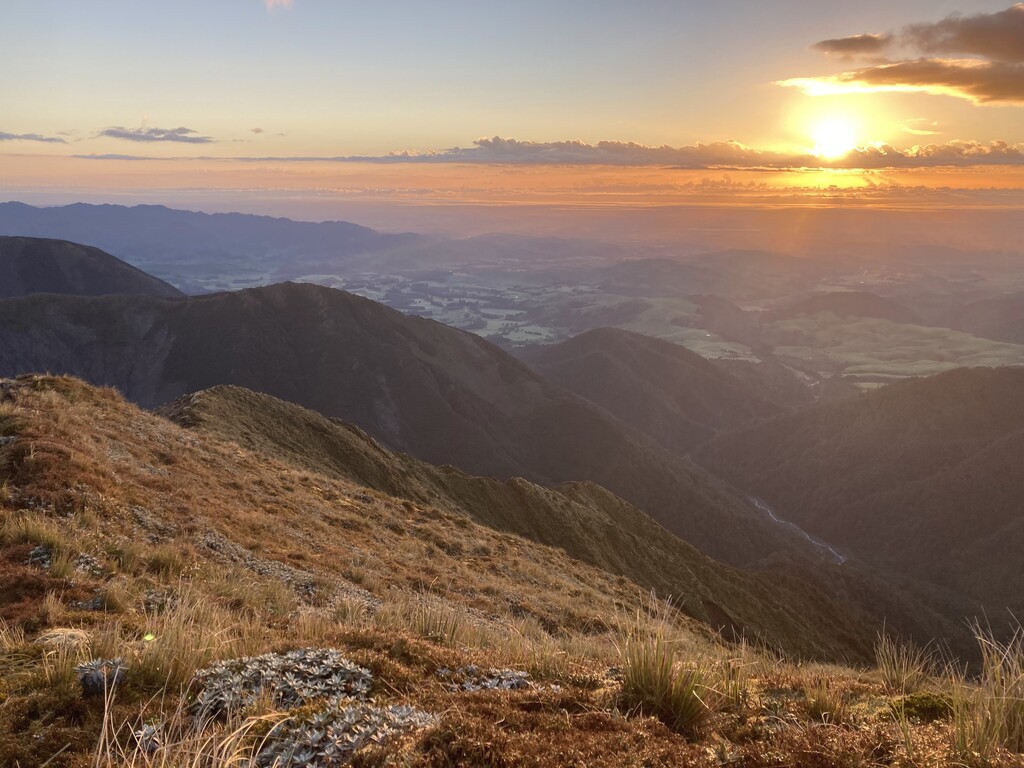
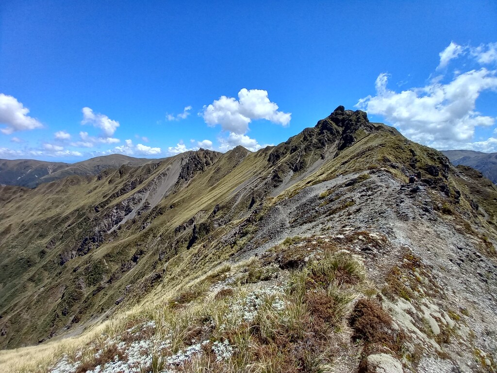
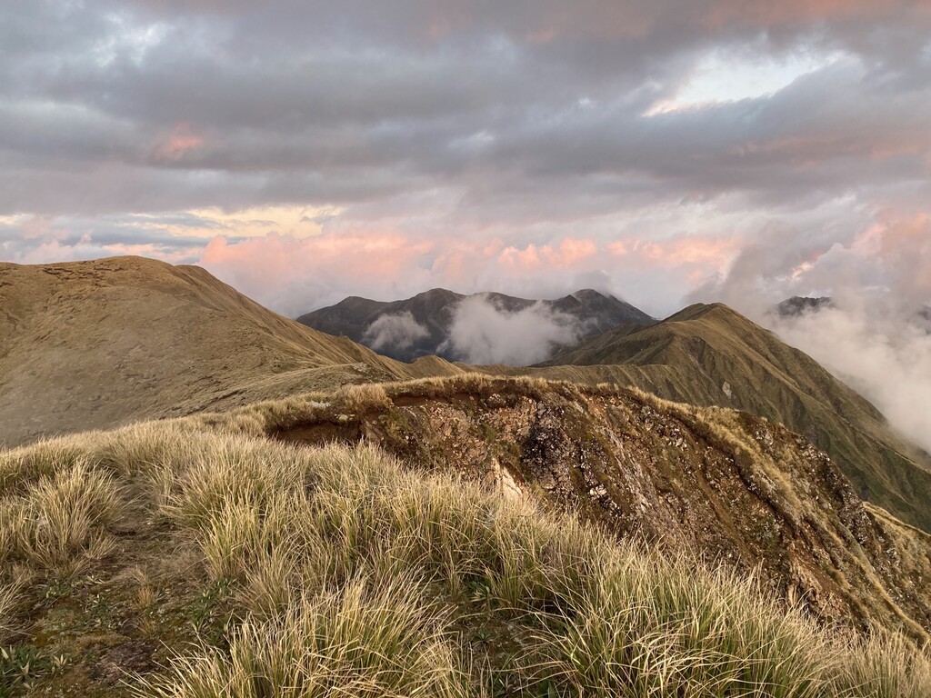
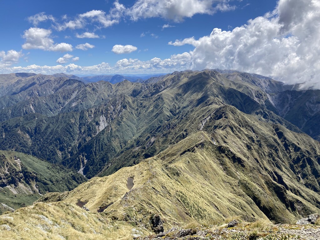
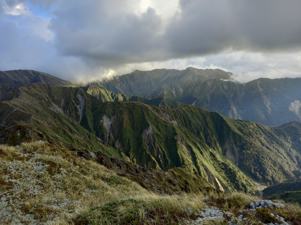
This route is a stunning way to see some of the best of the Ruahine tops. It involves an east to west crossing of the Ruahines, summitting all 21 of the peaks above 1600m. The first 19km contains 2400m of vert and the first half of the route has the most technical sections over Te Atua o Parapara, Broken Ridge, Sawtooth, and Te Hekenga. Once above Sunrise Hut you leave the marked track until above Pourangaki Hut. The route has lightly worn footpads in places, nothing in others, so good navigation skills are key, particularly in cloud or darkness. The drop down to the Kawhatau River is steep and somewhat overgrown near the bottom, with big bush nettles. There is a cableway to ride across to the other side, where the nettles intensify.
Access on the eastern side is easy - with a hut 5 minutes walk from the carpark/ start, providing accommodation for the night before. The route officially starts at the North Block Road carpark and ends at Kawhatau Base. Access on the western side is a problem - the only legal access to the Base is via the Kawhatau River. There is usually tarn water available enroute at 2 hourly intervals, except in dry or late summer. This route cannot be done in winter/ early spring as the snow needs to melt from the south faces, especially under Te Hekenga. There are limited exit points, so you need to be self sufficient for the entire route.
21 Peaks:
Te Atua o Parapara, pt1625, pt1635, Rangioteatua, A6G4, pt1673, Paemutu, Ohuinga, Tiraha, Taumataomekura, Te Hekenga, pt1635, Maungamahue, pt1614, pt1632, Iron Peg, Wooden Peg, Mangaweka, pt1718, Hikurangi, pt1625.
Some of them are listed on https://peakvisor.com/range/ruahine-range.html but only the named ones - not the pt####
The ones above 1700m have been featured in this article https://www.wildernessmag.co.nz/the-seventeeners/