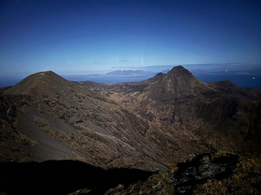
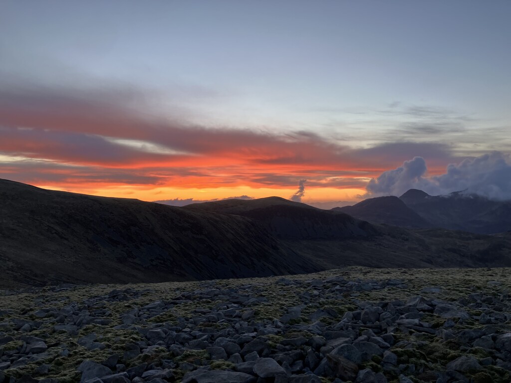
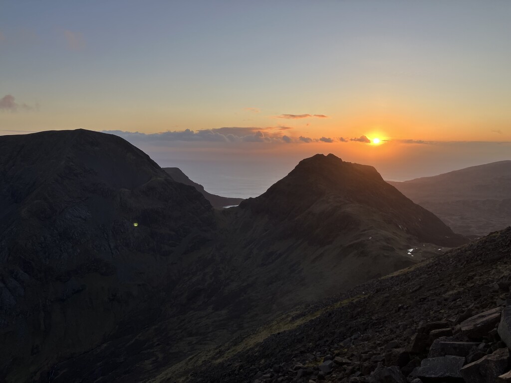
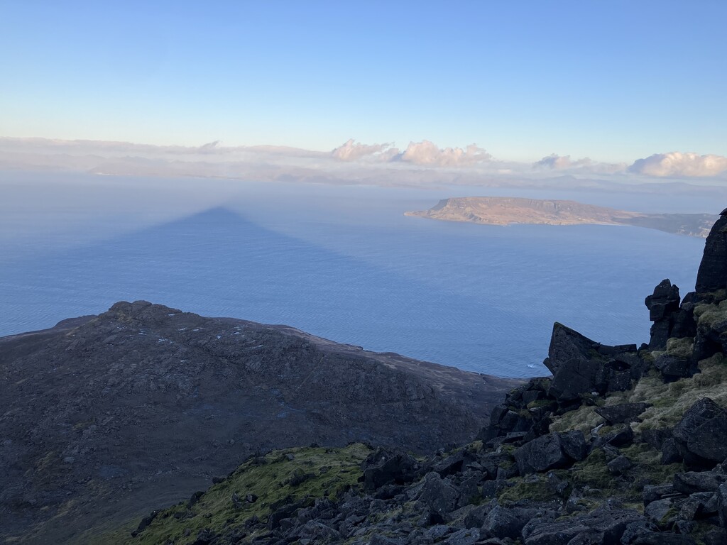
Linking the Isle of Rúm's southern and northern hills in one go, covering every 1000+ footer the island holds. The route was established in collaboration with NatureScot's team on the island, who judged that Am Màm and Meall Breac are more part of the Barkeval massif than they are independent hills in themselves. And while Mullach Mòr, the last hill on the route, is technically under 1000 feet, when standing on its cairn the limit is breached. This route far exceeds Rùm's shorter traditional Cuillin route.
- How FKT people would get to the Island
- Transport is by Calmac ferry — which runs near-daily during the summer — from Mallaig, a small port town just south of Skye. There is a train from Glasgow that runs all the way to Mallaig, thrice a day I believe.
- helpful information for FKT people coming from outside the area for first time - places to get supplies
- Rùm is a small island with about 35 inhabitants, all living in the village of Kinloch on its east coast. There is a well-equipped shop in Kinloch from which visitors can buy pretty much all the food and drink they'd need during their stay. One can also order specific food and drink ahead of arrival, which, as a party of four staying for a week, we did.
- There are a few accommodation options. We stayed in the Bunkhouse, Rùm's hostel, but there are also glamping pods, a campsite, a B&B, and two bothies (these albeit being on the other side of the island, see below).
- In terms of exit points on the actual route, finding one's way to either the central dirt-track road or northern and southern single-track (very boggy) paths is the only way to get back to Kinloch. There are two bothies of relevance though — one at Dibidil and one at Guirdil. You can exit to Dibidil once on any hill past Askival and before Ruinsival. You can exit to Guirdil from just before/after Bloodstone Hill and from just before Fionchra.