The route starts by the source of the River Bann in the lay-by of Deer's Meadow in the Mourne Mountains. The route heads in a northerly direction, following the roads closest to the River Bann, spanning almost the entire length of the country of Northern Ireland.
The river is the longest in Northern Ireland and flows through the largest lake in the British Isles.
The first section of the route descends steeply out of the picturesque Mountains of Mourne and towards beautiful countryside of Down and Armagh and heads through the towns of Banbridge and Portadown.
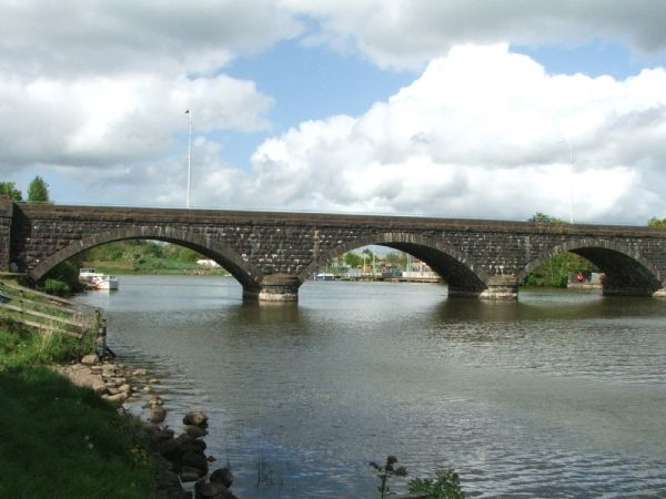
The river enters the southern end of Lough Neagh at Bannfoot and therefore the runner must continue along the small shoreline settlements of the west.
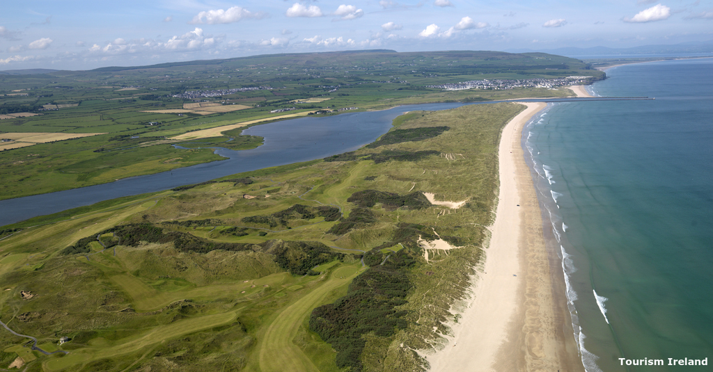
After completing the section that covers the length of Britain's largest lake, the route follows the Lower Bann through undulating countryside and several more small towns until the larger riverside settlement of Coleraine is reached. From here it is only a few miles to the Causeway Coast where the route finishes in Ballycastle with a final stretch along a beautiful beach to reach the mouth of the river.
In summary, the route covers a wide range of landscapes, is easily navigable, follows two notable geographical features and entails a significant distance that would be the longest FKT route in the country.
Below is a website dedicated to greenways in Northern Ireland and this article focuses upon the River Bann, including images and a little detail regarding its course.
https://nigreenways.com/tag/river-bann/