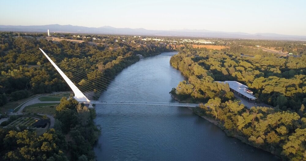
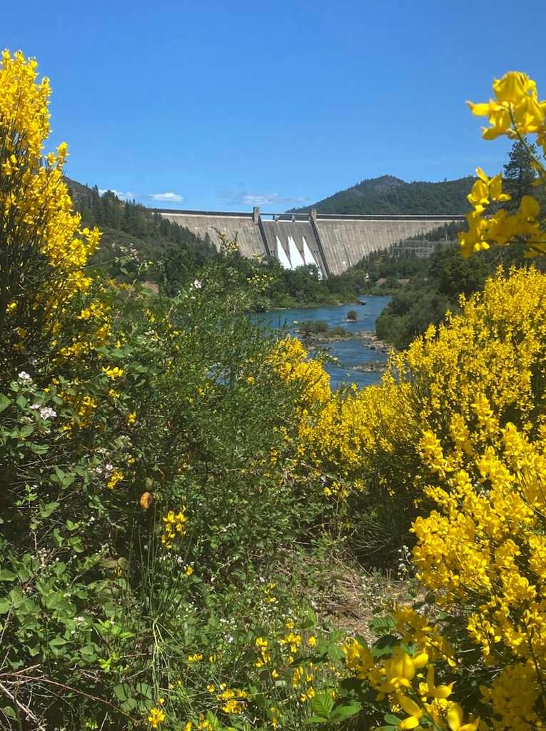
The Sacramento River Trail connects two California icons. At the southern end, the world-famous Sundial Bridge in Redding, and at the northern end, the Shasta Dam, focal point for the largest water reservoir in California. This trail is often referred to as the "Crown Jewel of Redding's Trail System" and draws tourists from around the world.
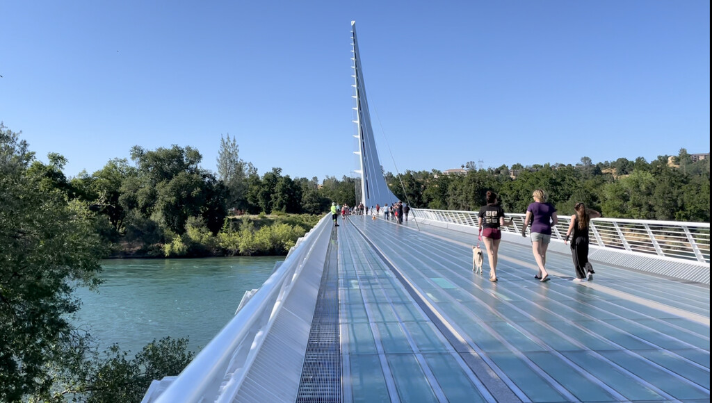
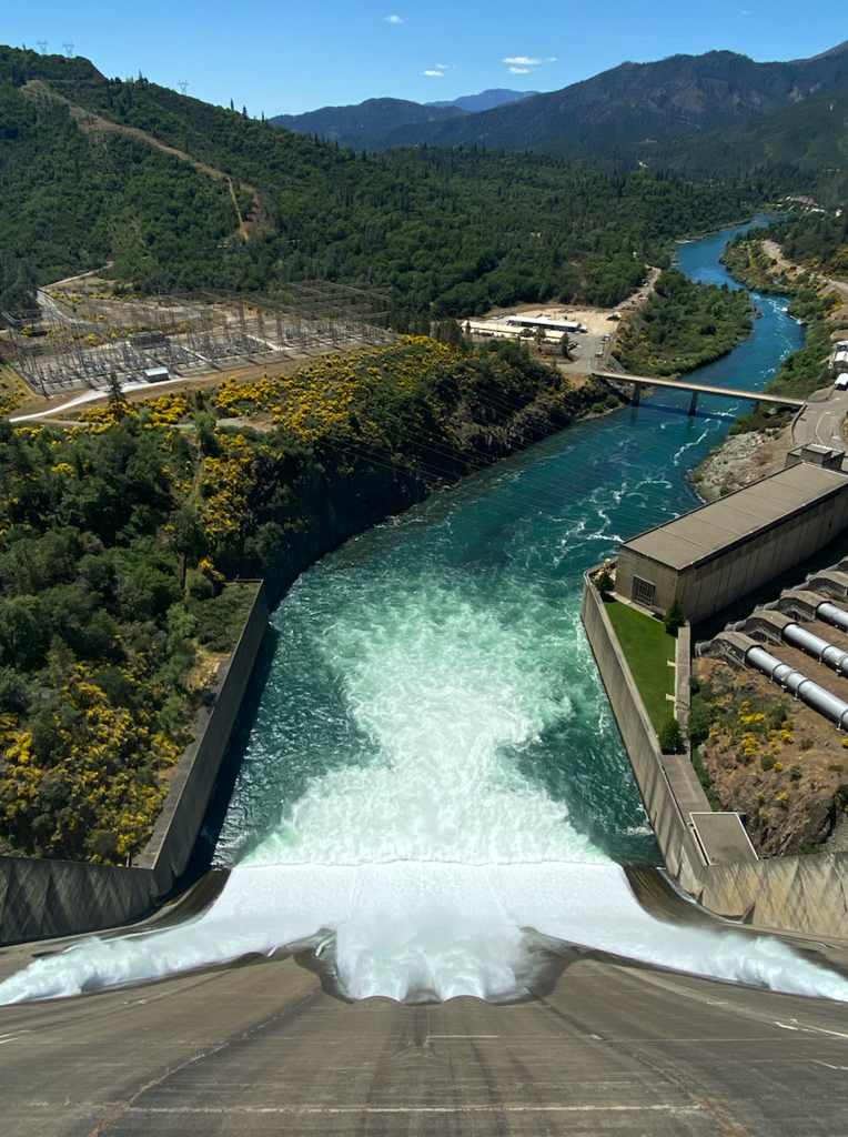
Run the FKT either direction (N to S is net downhill of about 500'), or out and back. The southern end point is the southern side of the Sundial Bridge, and the northern end is the top of Shasta Dam. The trail is paved and very scenic. You can expect to see a variety of wildlife. There are drinking fountains along the southern part of the trail and near the dam.
Sundial Bridge Fun Facts: As the name suggests, the Sundial Bridge is, in fact, a working sundial and is one of the largest in the world. It was created by world-renowned Spanish bridge designer Santiago Calatrava. It was his first free-standing bridge in the United States. Redding City officials estimate that 300,000 tourists visit the bridge each year.
Shasta Dam Fun Facts: The Dam is a curved gravity dam crossing the Sacramento River to form Lake Shasta. The dam served an essential role in World War II, generating hydroelectric power for California factories. It still plays a vital part in the management of state water resources. There are stunning views of the lake and Mt. Shasta from the top of the dam.
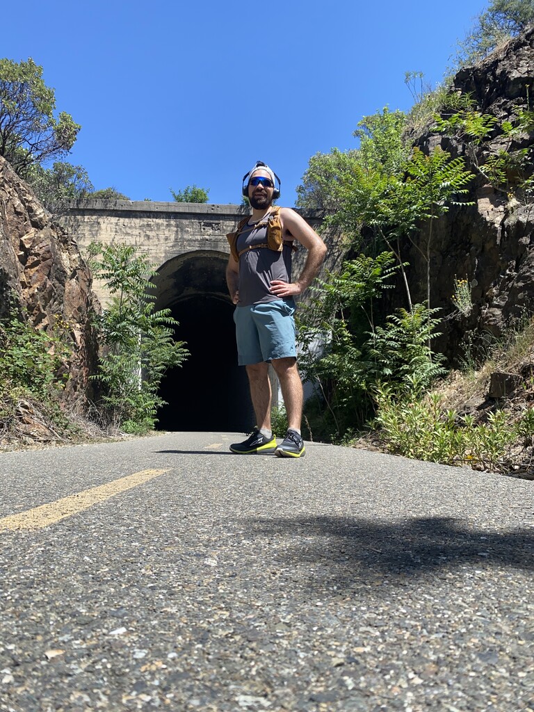
Sacramento River Trail Fun Facts: The trail runs along a historic abandoned railway that used to link California to the Pacific Northwest. The railroad was abandoned in the early 1940s. Both the railway trail and the river trail have been designated as National Recreation Trails in the National Trail System.
*Fun facts collected from the Redding Tourism website. Aerial Photograph from the Turtle Bay Exploration Park website.