Location
Montana,
US
Distance
9.2 mi
Vertical Gain
3,747 m
Description
GPS Track
Saddle_Peak.gpx2.06 MB
FKTs
Male
Female
| Shane Berry | 1h 36m 26s | ||||
| Zachary Sayre | 1h 41m 59s | ||||
| Jeff Garmire | 1h 53m 40s | ||||
| Jeff Garmire | 2h 4m 9s |
| Madison Hart | 2h 11m 27s |
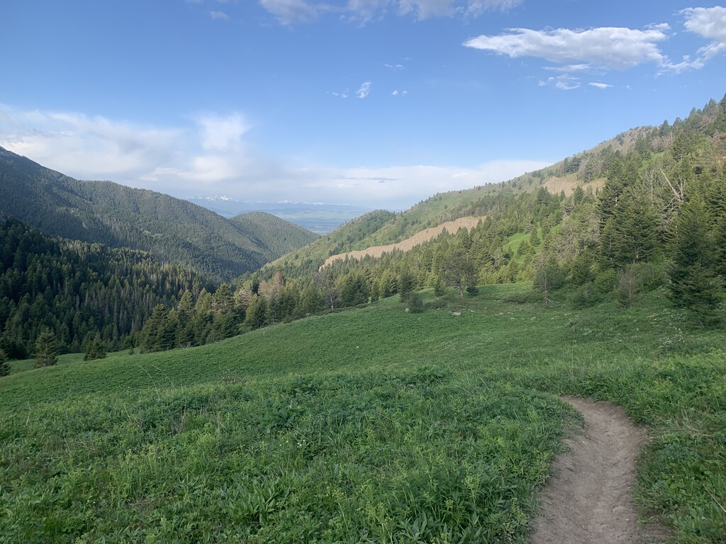
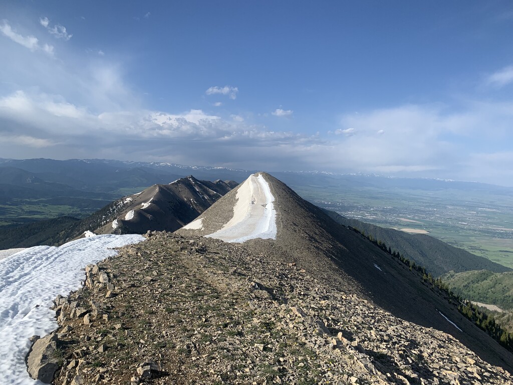
Images
Comments
Wonderful out and back route. We gave this a go early this morning and fell short, but it wasn't for a lack of effort. We arrived from Connecticut (sea level) yesterday, but that isn't an excuse, just a hindrance. Debbie was hurting on the climb, and then she left me in the dust (though the ground was wet from last night's rain) on the descent. She pushed hard but was about nine minutes behind the women's FKT. We were aiming to both beat that one as a team, but alas, it wasn't to be.
We did get a magnificent sunrise and though the smoke reduced the views, it made them unique. You can check out my Strava activity and see some neat photos.
I posted some videos on my Instagram feed.
This run was definitely worth it.