The Saint Louis Ridge Traverse is a remote, high-alpine loop in Colorado's Front Range. The route circumnavigates the Fraser Experimental Forest, linking the Byers Peak Wilderness to the west with the Vasquez Peak Wilderness to the east. The route begins and ends at the Leland Creek Trailhead, 4.5 miles southwest of Fraser, CO.
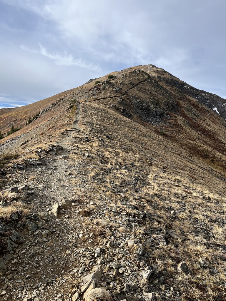
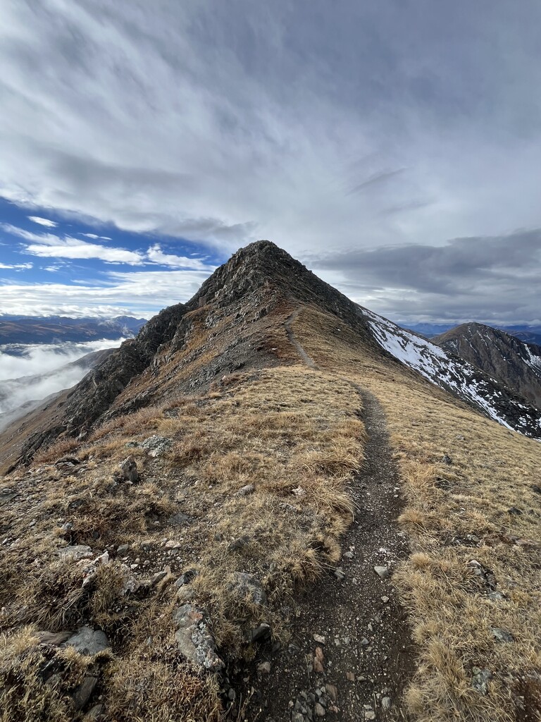
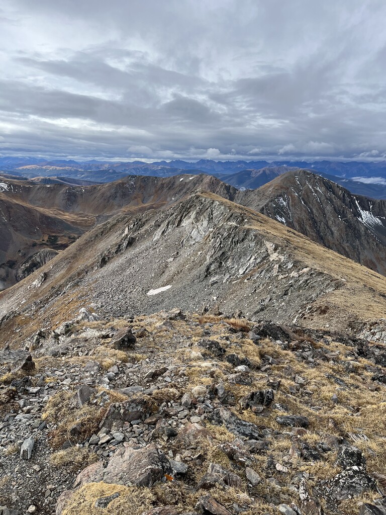
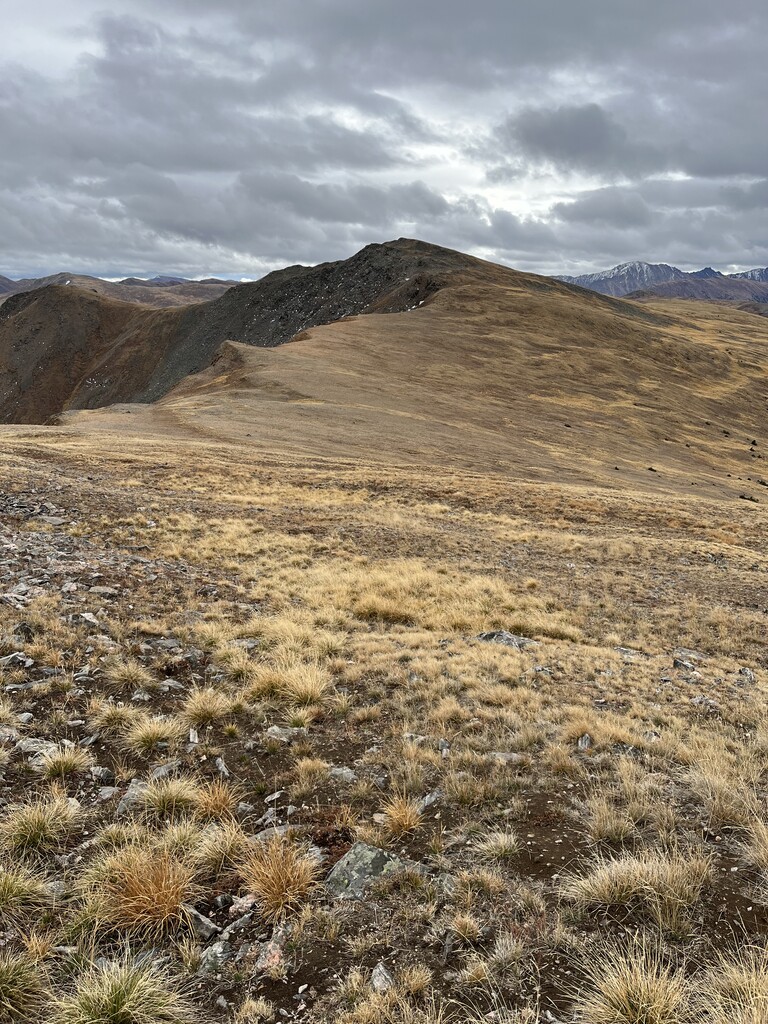
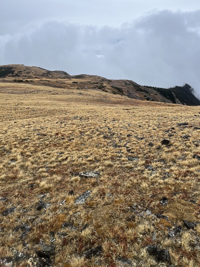
After climbing towards Byers Peak, the loop runs mostly above treeline on alpine tundra, tagging four prominent summits: Byers Peak (12,804 ft), Bills Peak (12,621 ft), Saint Louis Peak (12,507 ft), and Mount Nystrom (12,651 ft). The route follows official trails for most of its length: Byers Peak Trail, Saint Louis Divide Trail, and Mount Nystrom Trail, with a short section between Byers Peak and Bills Peak requiring off-trail travel. Please be aware that the trails along the wide, open ridge are very faint if perceivable at all.
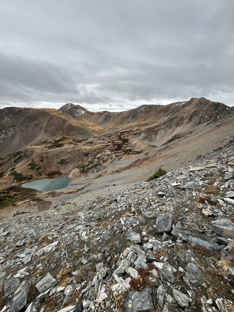
Water is scarce on this exposed alpine traverse. The only reliable water source is located at the halfway point at Saint Louis Pass. Runners should plan accordingly and carry sufficient water for the exposed sections. Just before the pass, the St. Louis Pass Trail offers a bailout option down into the valley to the St. Louis Creek Road.
This route feels exceptionally remote despite its proximity to town. The ridge offers sweeping views of the lakes and forests in the valleys below and the distant peaks across the Continental Divide. The sustained elevation, faint trails, and limited water define the character of this traverse.