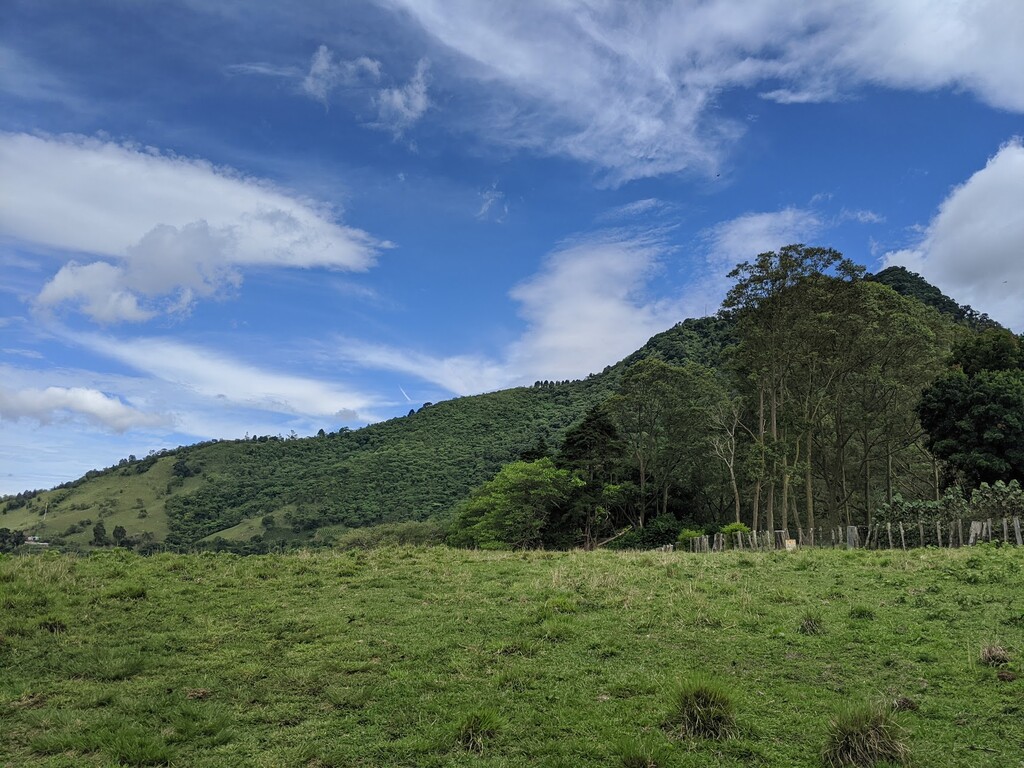
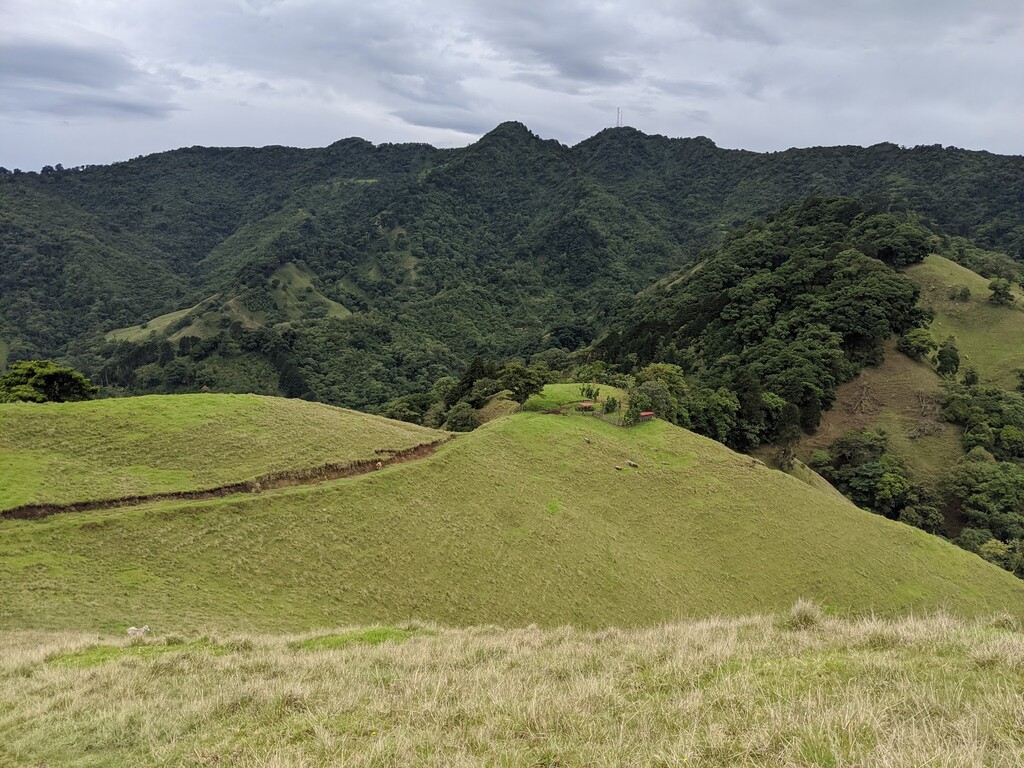
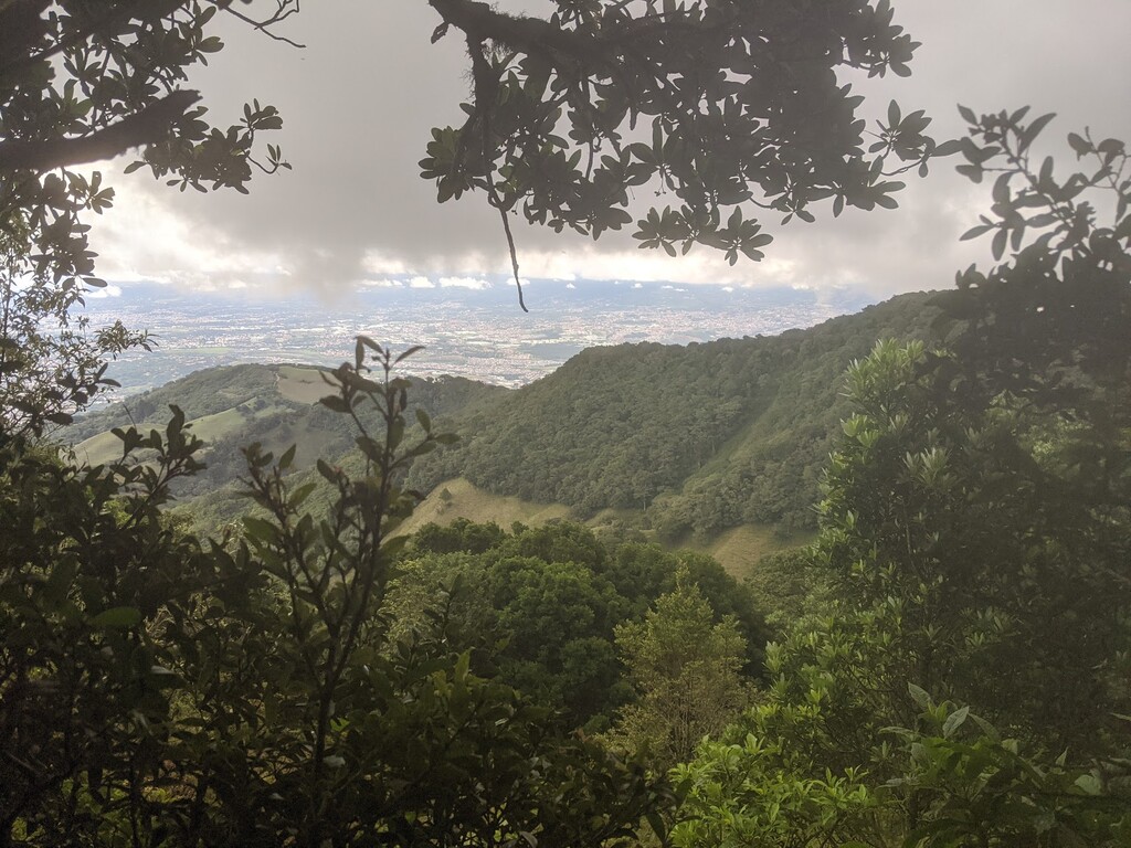
The loop tries to cover the 4 main ridges and 4 mountain tops at the forrest of Cerros de Escazú.
Mountains:
- Cerro San Miguel 2035m
- Cerro Cedral 2420m, it doesn't go to the top but until the road stops.
- Cerro Tacuotari 2100m
- Cerro Pico Blanco 2271m
Ridges:
- Ridge Cruz de Alajuelita to Cerro Cedral
- Ridge Cerro Cedral - Cerro Tacuotari and goes down the "Turbo" side route to connect to Salitral
- Salitral - Bebedero - Ventolera - Pico Blanco
- The famous Pico Blanco - Pico Blanco Sign - downhill
Since it's a loop, you could start and end at any point of the route. Right now it starts at the end of the downhill route, then starts a small piece in pavement to start the Cruz de Alajuelita route.
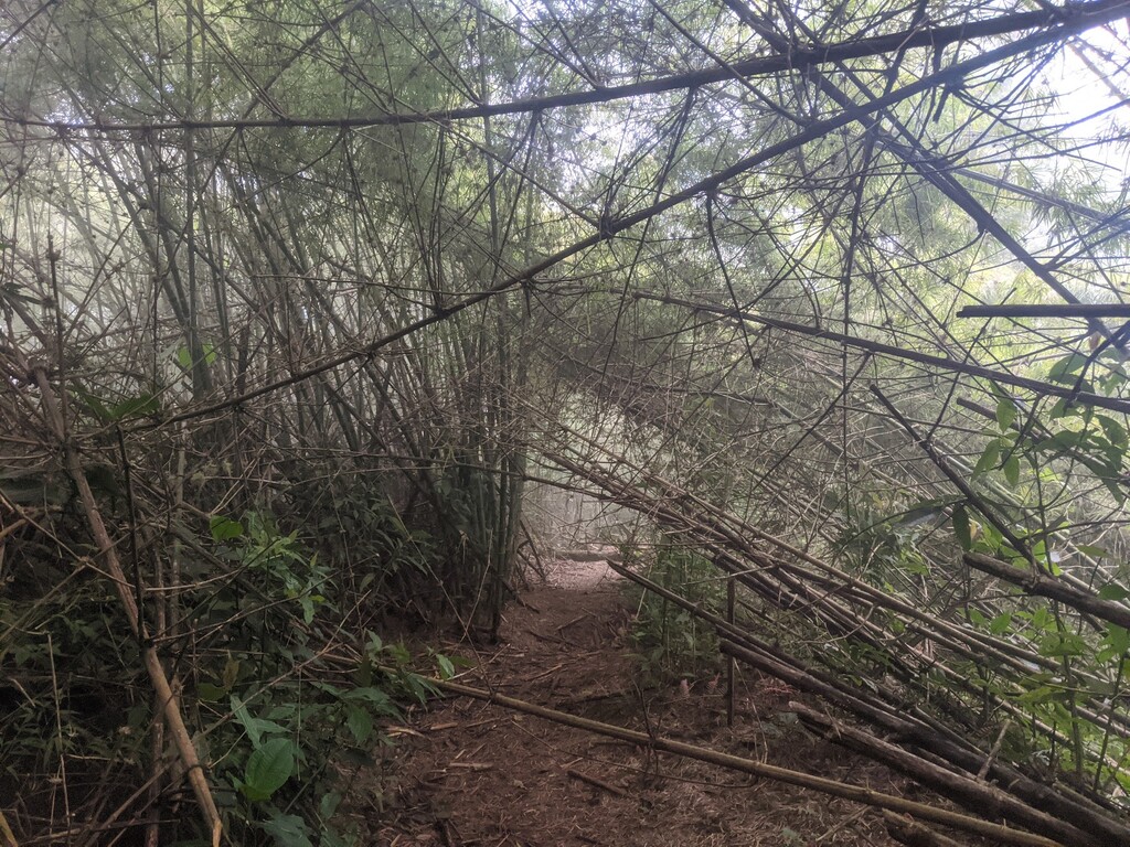
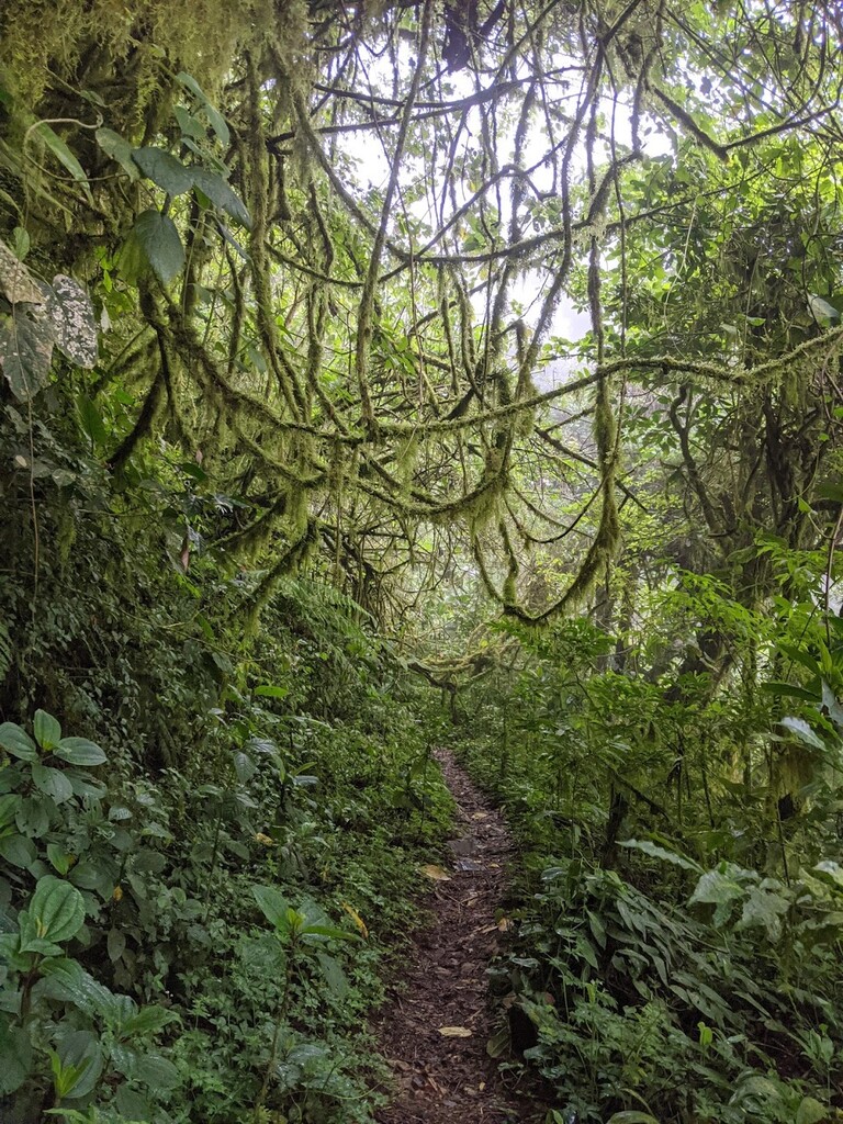
I would recommend trying to get to know the trails at the top before trying the whole loop, there are a lot of options to take in the deep forrest and you could get lost easily. And wouldn't recommend doing it without the maps in your watch.
The idea of the route is try and capture the most famous trails of the area and also aesthetics of the mountain to cover as much ridges as possible. There are other variations that can be possible:
- Instead of going thru Cruz de Alajuelita taking the river and going to "La Rompe pechos" to Cerro San Miguel
- Adding other ridges to the east side of Cerro Cedral
- Instead of going to the "Turbo" section to Sardinal, take a sooner right to Matinilla and make that section to Bebedero shorter
- Add other ridges in the west side, maybe all the way down to Rio Oro, run some pavement and then to Bebedero. This might be useful to buy food and water in the way.