Location
California,
US
Distance
41.7 mi
Vertical Gain
7,013 ft
Description
GPS Track
Santa_Rosa_Circuit.gpx72.85 KB
Santa_Rosa_Circuit.json41.37 KB
FKTs
Male
| Hardy Wronske | 14h 6m 54s |


Comments
I scouted this out mid-October 2021. There's a use trail that connects East Point and the south ridge, but it's signed as closed due to unstable cliffs.
The rangers suggested I might find water at Wreck, Green, and/or Cow Canyons. I found (muddy) water on-route in the Wreck Canyon marsh, and on the beach (clear, a trickle) at Cow Canyon, under a mile along the dry creek off-route. I was there during "the worst October storm in 20 years" but there were 40-mph gusts from the evening until dawn.
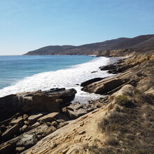
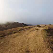
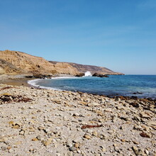
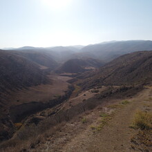
It was a gorgeous trip and I'd love to see if I can give it a real shot now that the route's formalized! I saw nobody between leaving the campground and passing Lobo Canyon, the primary sight on the island. Pretty smooth miles, excellent scenery the whole way.
Hey Riley! Thanks so much for scouting and putting this route out there. I’m planning an attempt within the next month or so, and am hoping to arrive to the island via solo kayaking across the channel from Goleta (I work as a guide out there and have made many kayak crossings in the past). I will report back on water source conditions, trail conditions, etc.
cheers!
-Dan