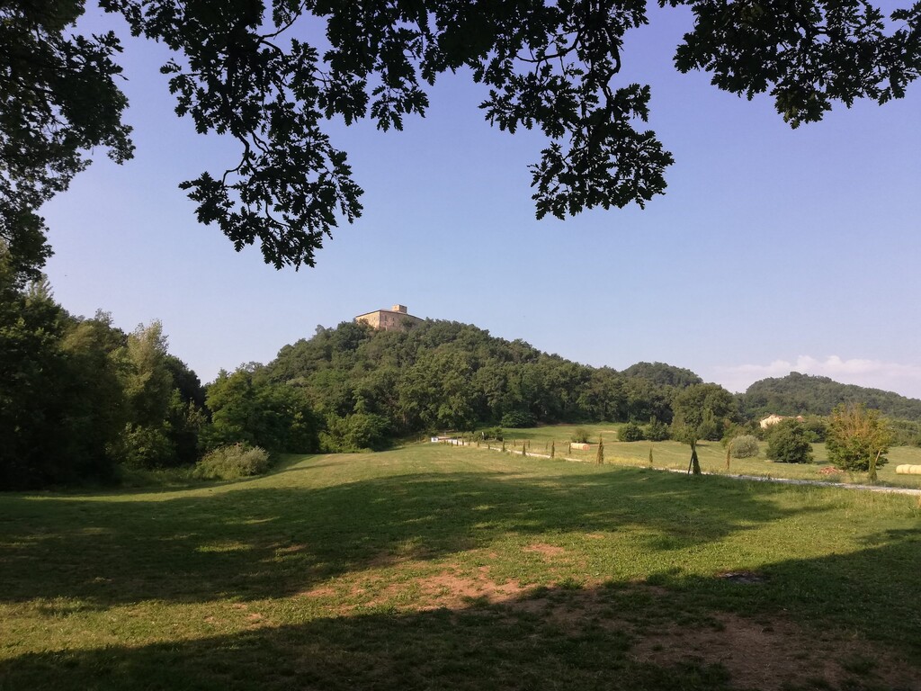
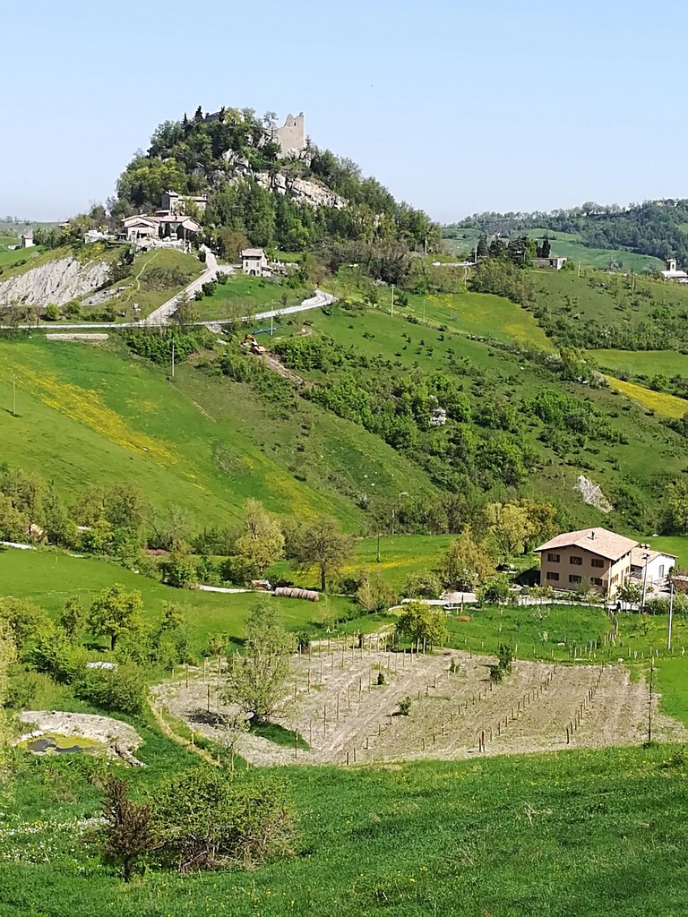
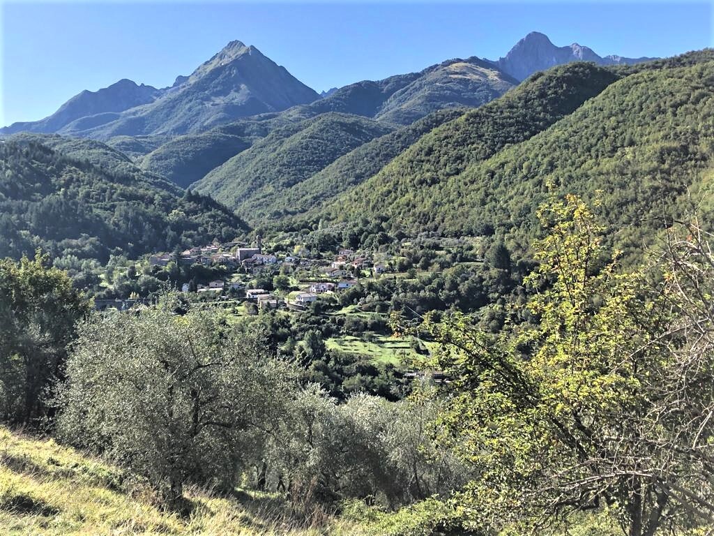
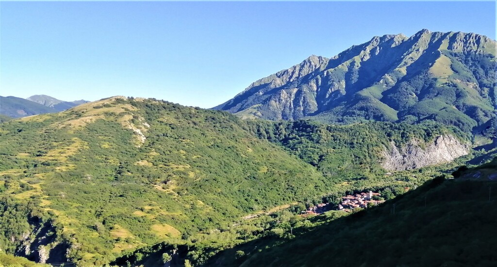
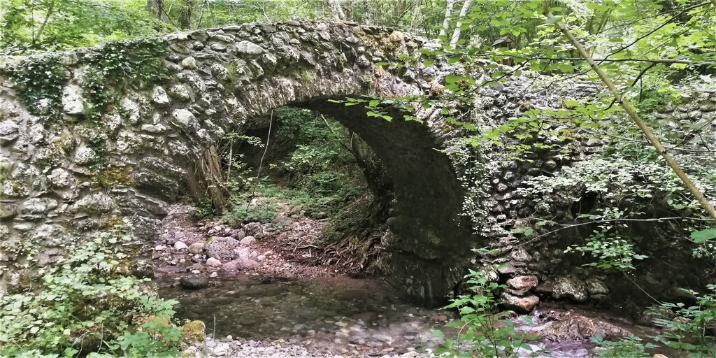
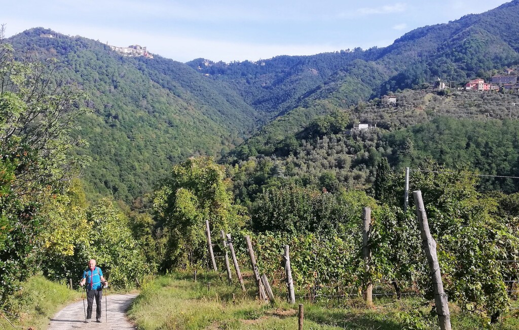
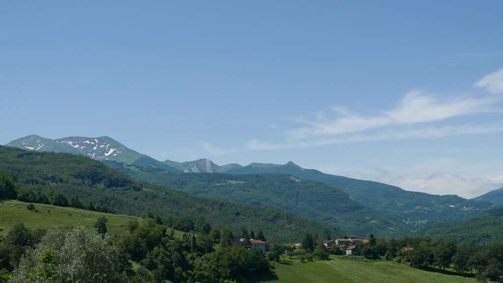
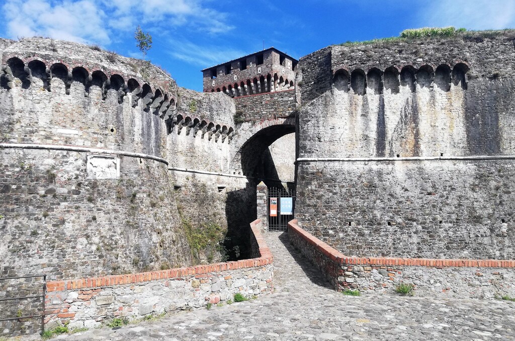
The Sentiero dei Ducati (Trail of the Duchies) is a path that takes place between the regions of Emilia Romagna, Tuscany and Liguria in Italy. The route is divided into 11 stages, 174 km, over 7,000 meters of ascent and 7,300 meters of descent, from just over 150 m. altitude of the Matildic village of Quattro Castella at over 1200 m. of the Lagastrello Pass. Then back down, through the Lunigiana, to the pretty fortified citadel of Sarzana, near Luni, an ancient Roman port near the Tyrrhenian coast. Discovering, day after day, one of the most spectacular corners of the northern Apennines, perhaps one of the richest in history, always immersed in the profound silence of a primeval nature, often in total solitude, far removed from the crowds that now invade the most beaten paths.
For further information we attach the link https://sentierodeiducati.it/aspetti-naturalistici-del-sentiero-dei-ducati-2/