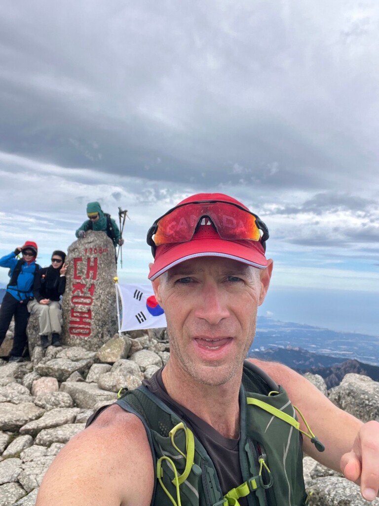
Daecheongbong is the third highest peak in South Korea, at 1,708m, and one of the best viewpoints in Seoraksan National Park. On clear days, views extend to the east coast and the far ocean horizon. I's popular among hikers to overnight in one of the high shelters and watch the sunrise from atop Daecheongbong. From the main park entrance, the distance to the peak is about 11km. But from the hot spring area of Osaek, a steep trail leads 5km straight up to Daecheongbong.
To reach this direct trail, which is basically a vertical kilometer with a couple extra 100m added on, walk up the steep road from the national park rangers station. The trailhead is at the end of the road, but note that entry is only allowed from 3 a.m. to 12 p.m. from April to October and from 4 a.m. to 11 a.m. from November to March.
After a brief stretch of somewhat level stone stabs, the climbing begins with a trail of irregularly shaped and placed rocks, which make for an awkward descent later. After about 1.5 or 2km, the trail turns right and twists along the mountain slope with a series of ups and downs. This flatter part is mostly runnable. Then the climbing continues, with steep wooden stairs and blocks of stone. There's another short runnable stretch just before the top.
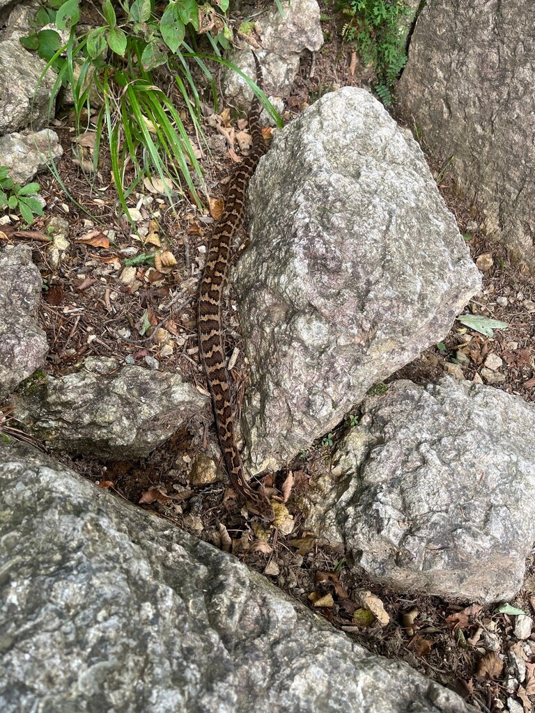
At the peak, touch the elevation marker and head down carefully. Watch out for slick, slippery stone surfaces. On Sept. 13, 2026, I encountered a Korean pit viper very close to the trail, so be alert! You're more likely to meet chipmunks, though. And you'll definitely bump into some hikers along the way. Most of them will step aside to make space for you if let them know that you're passing.
The fastest time up and down on Strava is 2:04:44 -- any faster than this qualifies as an FKT, in my opinion. For your reference, the fastest ascent is 1:05:23 and the fastest descent is 43:42.