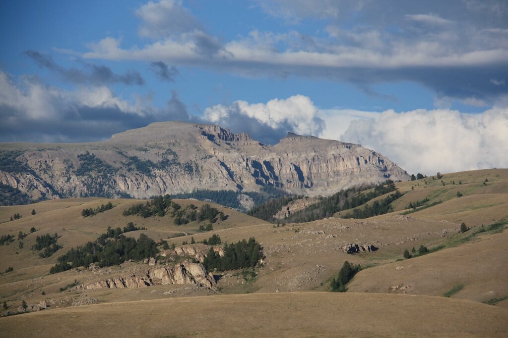
Location
Wyoming,
US
Distance
10.3 mi
Vertical Gain
4,259 m
Description
GPS Track
Sheep_Mnt Route.gpx2.54 MB
FKTs
Male
Female
| Logan Bergh | 1h 58m 24s |
| Kelly Halpin, Amy King | 2h 17m 30s |
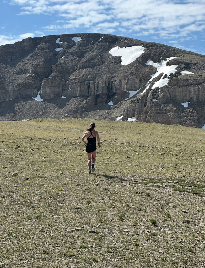
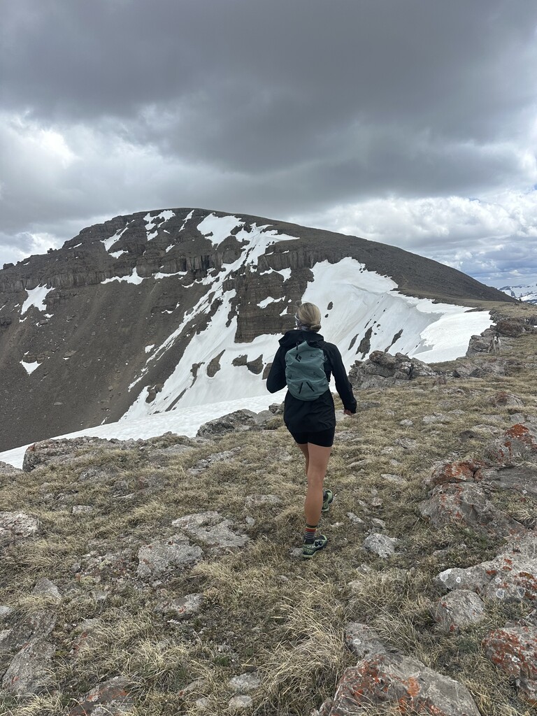
Images