The Shropshire Way Full Route, description found here: https://shropshireway.org.uk/plan-your-walk-1-1
Terrain Feature
Description
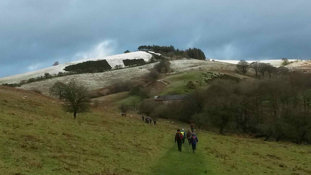
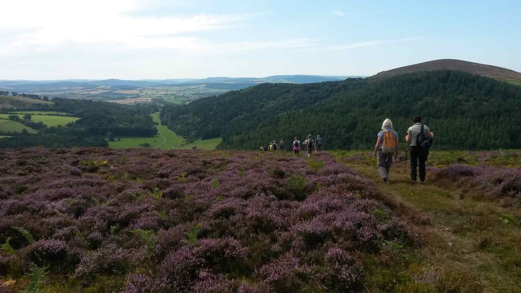
Hill ridges
Includes the Long Mynd, Clee Hills, and Stiperstones. Steep climbs and exposed ridgelines, grassy or heather-covered with some rocky outcrops.
Farmland and pastures
A significant portion of the route crosses privately owned farmland via rights of way. Expect mud, livestock, and occasional overgrown stiles or gates.
Woodland
Sections near Wenlock Edge, Mortimer Forest, and Fenn’s Moss. Mostly well-surfaced, occasionally rooty or wet.
Tarmac
Minor country roads and lanes, especially for linking trail sections. Around 15–20% of the total route is on hard surface.
Bog/moorland
Especially around the Long Mynd and Stiperstones. In winter or after heavy rain, expect significant bog and waterlogged sections.
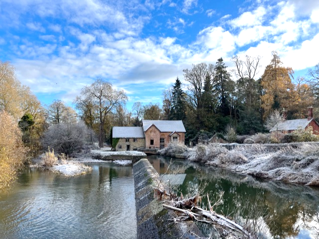
River paths and canals
Some flatter trail alongside the River Severn and canals, including towpaths and old railway lines.
1. Water & Food
-
Towns with shops/pubs/cafes:
-
Shrewsbury
-
Bishop’s Castle
-
Clun
-
Church Stretton
-
Ludlow
-
Much Wenlock
-
Whitchurch
-
Ellesmere
-
Bridgnorth
-
Smaller villages with possible pubs or B&Bs:
-
Worthen, Myddle, Westbury, Craven Arms, Pontesbury, etc.
-
Many have limited hours or may not have shops.
-
Water access: Streams, taps at churches or graveyards, village halls (some), pubs if open. Carry purification or plan resupply at towns.
2. Shelter & Accommodation
-
Campsites: Scattered along the route. Wild camping is technically not legal but often tolerated with discretion.
-
B&Bs and Inns: Available in market towns and larger villages.
-
Bothies: None officially on the route.
Travel Advice
1. Getting There / Away
2. On-route transport
-
Trains: Also serve Church Stretton, Craven Arms, Ludlow, and Whitchurch.
-
Bus coverage: Rural, often infrequent – check Arriva Midlands or Shropshire Council for timetables.
3. Car Support
-
Car parks: Available at Long Mynd, Stiperstones, Carding Mill Valley, Ludlow Castle, etc.