Lakeshore Hiking Trail - 15 km
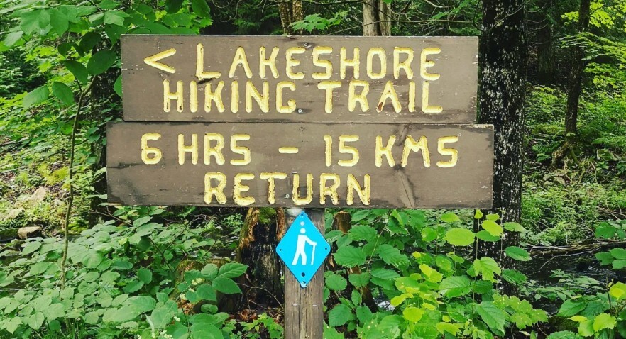
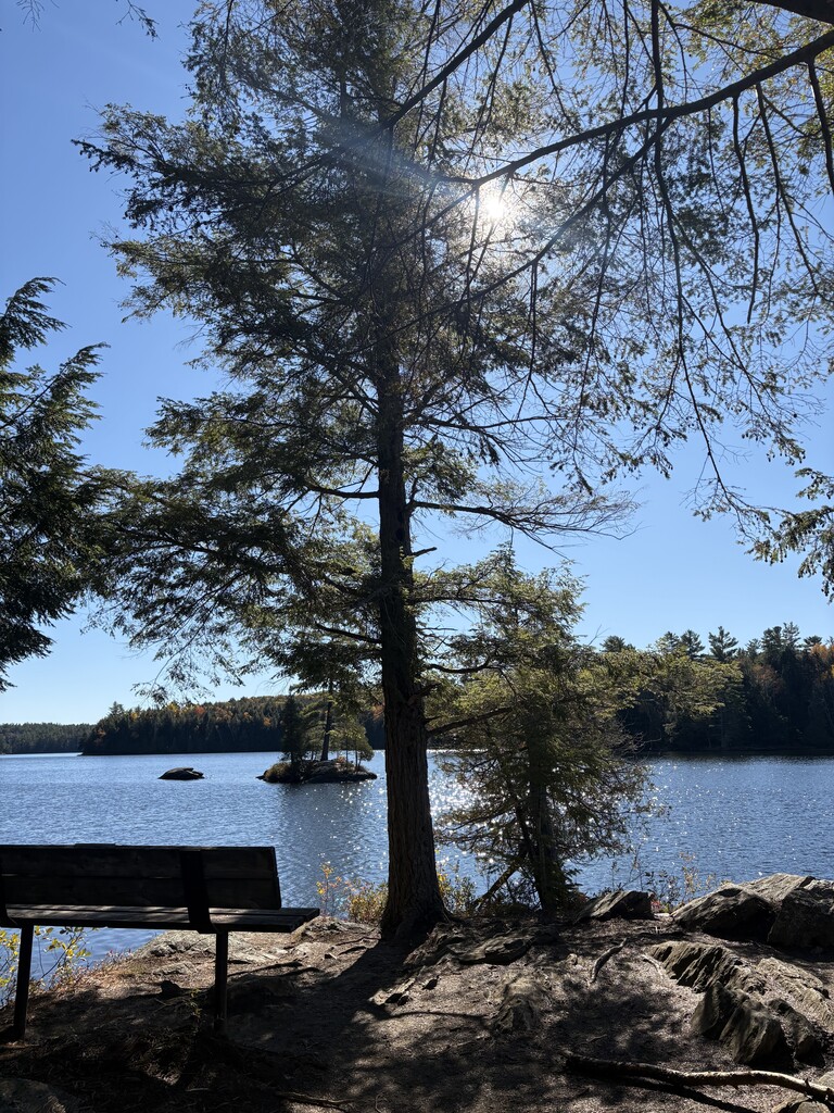
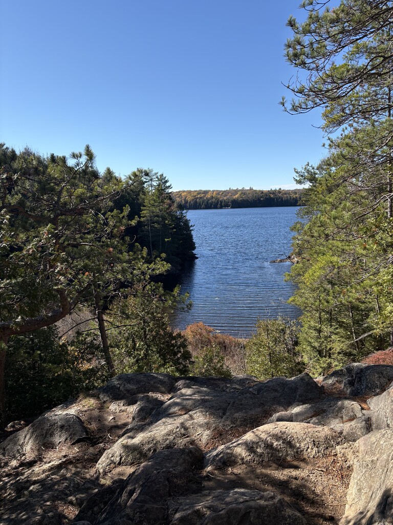
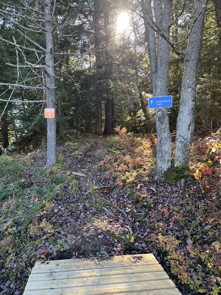
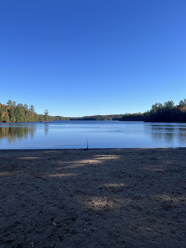
This is a wilderness trail designed for the more experienced hiker/runner. It is rugged, challenging and very rewarding. A supply of water is highly recommended. The Lakeshore Trail roughly follows the undeveloped shoreline of Silent Lake. Along the way you will pass through beaver meadows, hardwood forests, and cedar-black ash swamps. There are spectacular lookout points along the way. The route starts and ends at the Silent Lake Summer Trail System" sign (see photo 1) and can be completed in either direction. Follow the blue hiker blazes along the way (see photo 2).
map: summer-trails.pdf
About Silent Lake Provincial Park:
Silent Lake Provincial Park
Silent Lake Provincial Park is a beautiful, peaceful provincial park in the Haliburton Highlands region of Ontario. Known for its clear lakes, rocky Canadian Shield landscapes, dense forests, and excellent hiking trails, it's a wonderful destination for outdoor enthusiasts. Park fees apply (day use or seasonal passes are required to enter the Provincial Park).
One of its biggest attractions is its quieter, more natural atmosphere compared with some of Ontario's larger, busier provincial parks.
Where is it located?
Silent Lake Provincial Park is in Hastings County, just southwest of Bancroft, along Highway 28.
Approximate driving distances:
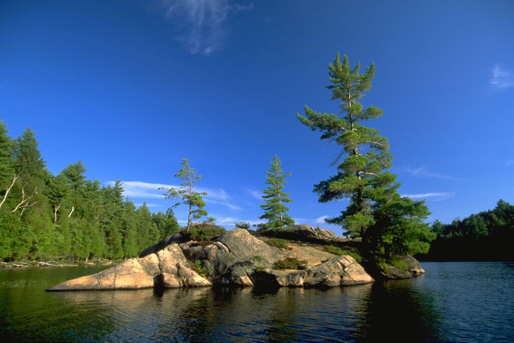
The park is situated in the transition between southern Ontario's forests and the rugged Canadian Shield, giving it a landscape of granite outcrops, rolling hills, mixed hardwoods and beautiful lakes.