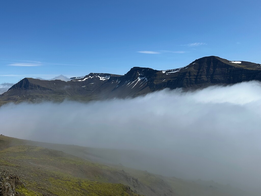
This route follows the "skyline" features of the Skardsheidi and Hafnarfjall mountain ranges in south-west Iceland.
This skyline is very prominent when driving from Reykjavik up the West country (towards Akranes, Borgarnes and further north/west).
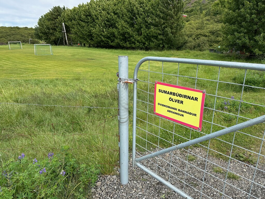
The route starts at the Ölver kids summer camp on the western flank of the Hafnarfjall range.
The sign on the fence marks the start of the route.
I ran through the camp site and did some bushwhacking above it, but it probably would have been smarter to go around the fencing to the east/right to escape the birch bushwhacking (and trespassing the camp site).
The route them follows the obvious ridge line above the camp to the east. At the highest summit (Blakollur, 719m), the ridge bends slightly northbound as it lowers and bends towards north-east as it ascends to the second summit (Raudahnukafjall, 782m)
The route then drops off this summit and crosses south-by-south-east over to the Skardsheidi range, crossing some small rivers and the old road over that mountain pass ("the old Skardsheidi road").
The route then climbs up the Raudihnukur summit (700 m+). I went up the western flank, which is quite steep and with lots of loose red rock flakes. Quite a challenge to venture up this. It may make more sense to go behind the summit (to the south), where the hiking route goes.
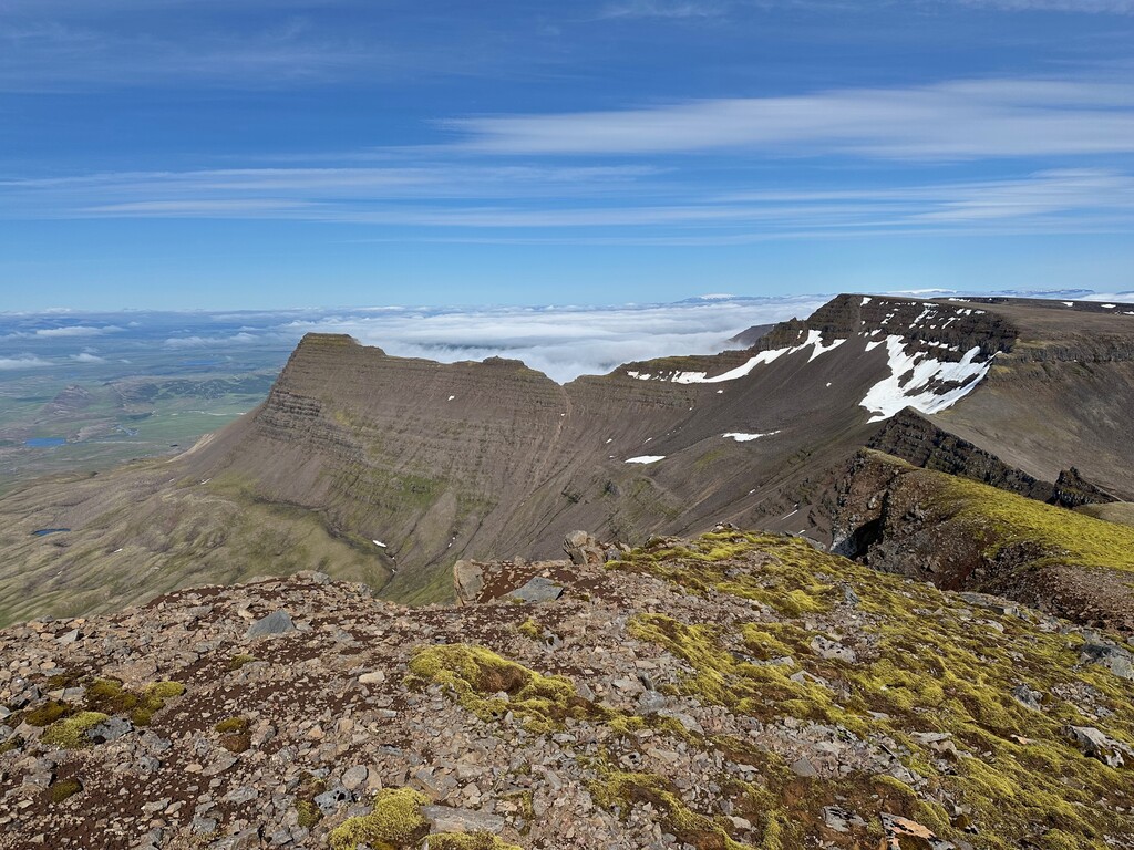
Then straight east over to the Skardshyrna summit (946 m) and from there north towards the summit of Heidarhorn (1053 m), the high point of the route (and the mountain range as I recall).
The flanks of Heidarhorn are loose and rough and must be traversed with care. I´ve tried to go straight east off the summit, but there is a cliff band around half the flank, so I´ve given up on going that way down. So I backtracked the last bit of my ascent route and then plunged down the flanks before traversing below the cliffs towards the ridge.
On the ridge towards Skardskambur (1039 m, also known as Skardshorn?).
Hard to get off the summit straight east due to steep cliffs, so go 100 m south towards easier ground before traversing again east towards the ridge.
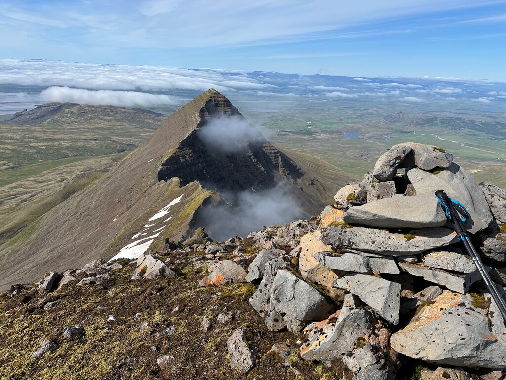
Continue on the ridge and pass the Skessuhorn (963 m) ridge - stunning site due north of the route.
That is a beautiful summit but is quite a bit off the "skyline", so I decided to skip it from this route (it´s much easier to access from the north side).
Scramble up the ridge towards an unnamed 1017 m summit and onwards to Hadegishyrna (958m) summit.
Then head south of the Villingadalur valley.
Be careful not to accidentally drift northwards down that valley, since it has massive cliffs on its innermost flanks (it´s an ice climbing area in winter).
And then down the ridge east of Villingadalur valley down the the gravel mountain pass road between Svinadalur and Skorradalur (Draghals or Geldingadragi).
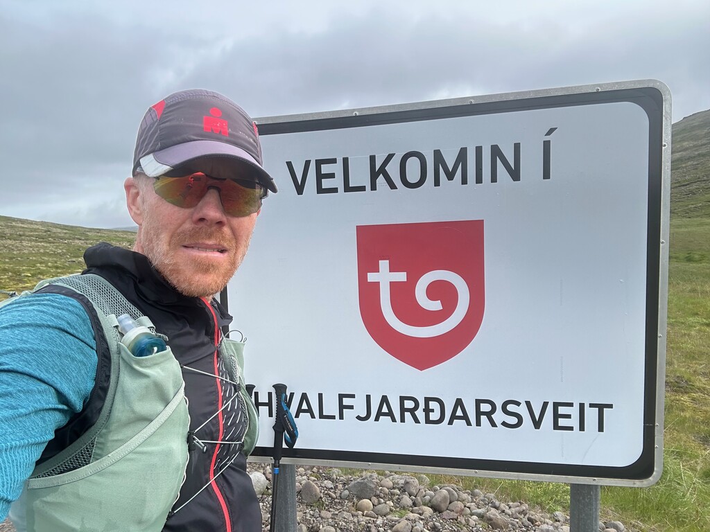
Close to the high point of the road, there is a sign marking the boundaries between the communities on either side of the pass.
This sign marks the end of the route.
--
This route is a spectacular feature in the landscape.
In good weather, as I encountered on my first full run of the route, it´s amazing.
The only downsides to the route is
a) the weather in these mountains is tricky - can turn bad quickly and can be hard to find a good weather window.
b) the route is not very runnable on the upper slopes. Quite rough loose (sometimes sharp) rocks that are tricky to maneuver and don´t offer many stretches of fast running, even on the downhills. So poles are strongly encouraged (lots of steep climbing as well where the poles help a lot).
So choose your day/weather wisely and please report your location pin on the Icelandic 112 app (makes it much easier for SAR to find us if we get lost or injured).