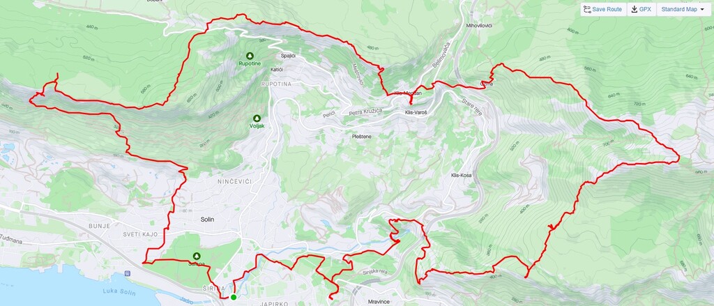
Solin Hiking Trail (SPP) is a hiking trail envisioned by Mountaineering Club Split for it's 70 year anniversary.
The trail originaly is linear and has 21 control points but for the FKT purpose it was logical to make it circular with starting / ending point in the center of town of Solin, while adding another obvious control point on the way. That way the route is more logical, esthetical and logistically easier to complete.
The route can be passed in both directions - clockwise and counterclockwise. Visited control points should be proven with selfie photos and GPS track as almost all control points have a sign with trail name and CP number.
Control points:
START/END South bridge to Gospin Island
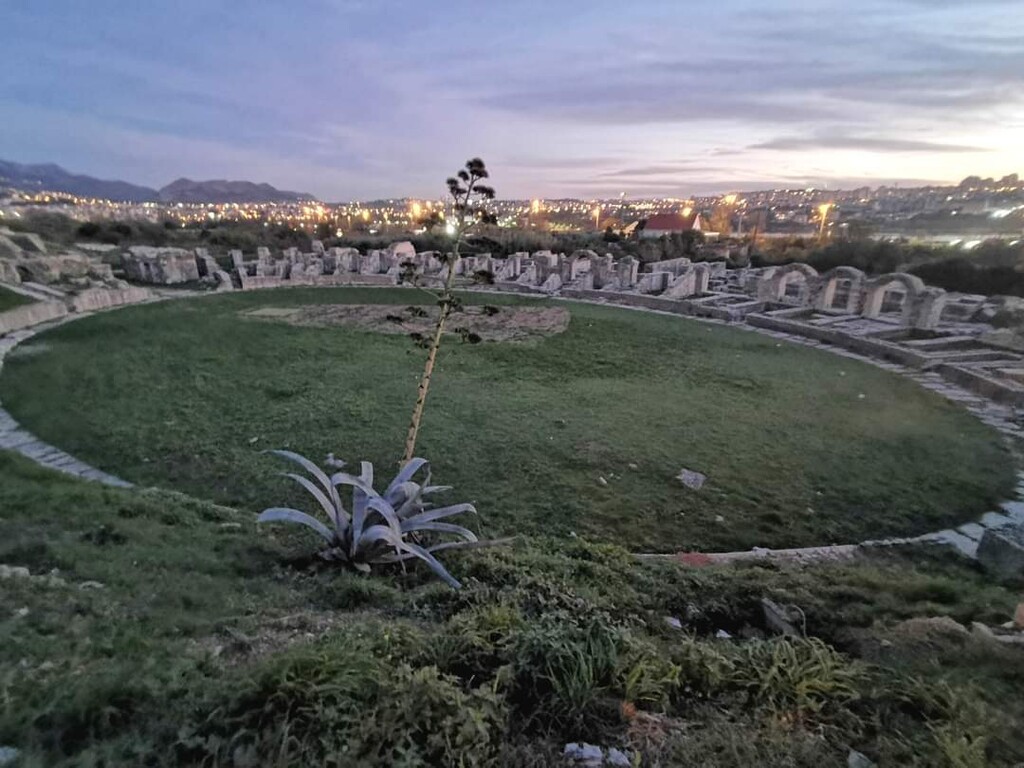
0. Ancient Salona amphitheater (20m) * Added control point
1. Piramida (380m)
2. Cave Nugal (566m) * DANGEROUS (climbing involved)
3. Škrabutina (579m)
4. Sign on top entrance to "Splitov klinčani put" (565m)
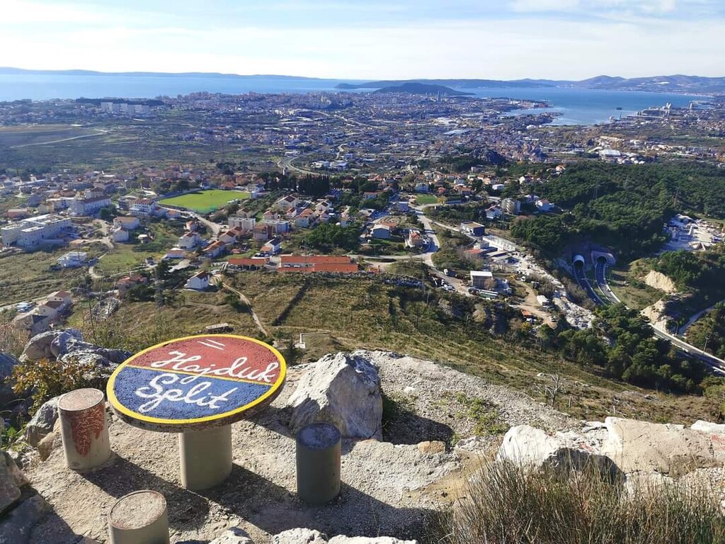
5. Šinkuk (350m)
6. Sv. Juraj (676m)
7. Saddle Privija - Blaca (525m)
8. Orljak – Bobanova greda (608m)
9. Ilirska utvrda (490m)
10. Markezina greda (573m)
11. Klis Fortress (573m)
12. Greda od jama (639m)
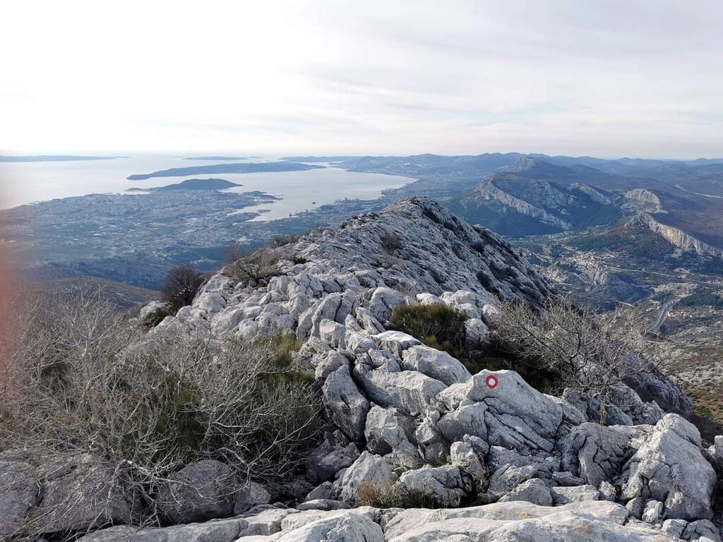
13. Debelo brdo (1044m)
14. Poljičin umac (582m)
15. Koludar (522m)
16. Mačkovac – viewpoint (343m)
17. Gradina (313m)
18. Sv. Petar (278m)
19. Sv. Juraj (128m)
20. River Jadro spring (36m)
21. Sutikva (129m)