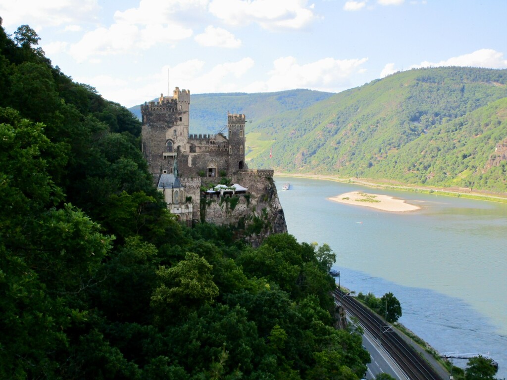
Location
Germany
Distance
84 km
Vertical Gain
2,650 m
Description
GPS Track
Soonwaldsteig.gpx66.92 KB
FKTs
Male
Female
| Natalie Rau | 14h 21m 6s |
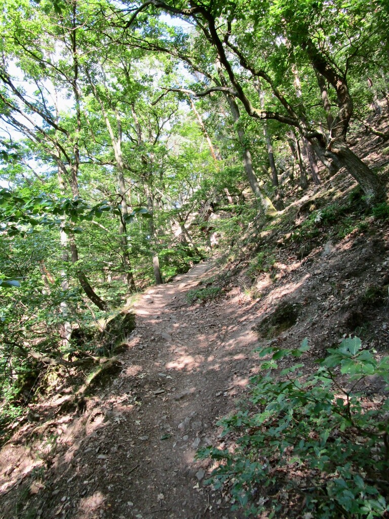
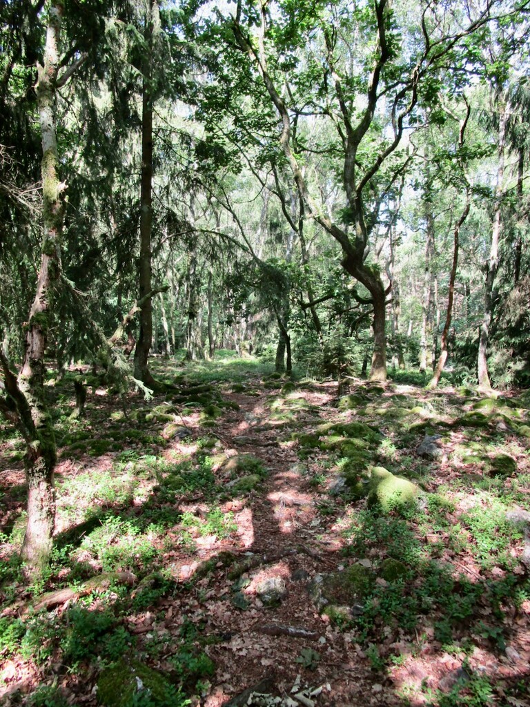
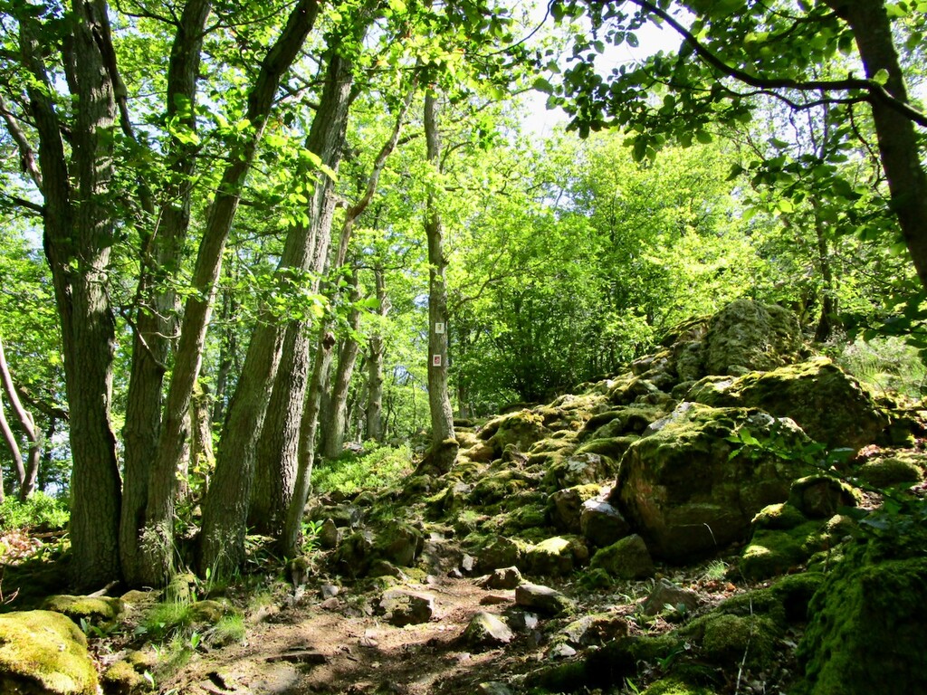
Images