The Southern Circuit on Rakiura / Stewart Island is one of New Zealand’s most remote and challenging backcountry tracks. Normally promoted as a multi-day tramp, the full circuit can also be completed as a single push. The route travels through deep peat bogs, podocarp forest, exposed sub-alpine terrain, remote beaches and large wetland areas.
The route is a loop and can therefore be started from any point on the circuit. Freshwater Hut is a logical start/finish location, with an anti-clockwise direction taking runners through Freds Camp, Rakeahua, Doughboy Bay and Masons Bay before returning to Freshwater.
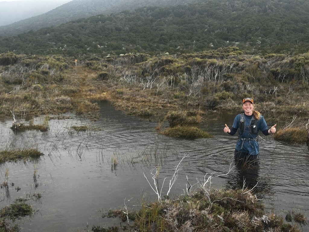
Conditions have an enormous effect on the difficulty and speed of the route. After significant rainfall, long sections can become extremely wet and muddy, with some bogs deep enough to reach thigh or waist level. Anyone targeting a fast time should consider recent rainfall, tides and weather conditions carefully.
Freshwater Hut to Freds Camp Hut — approximately 11 km
From Freshwater, the route initially combines peat bogs with excellent singletrack through podocarp forest. Although generally more runnable than some later sections, there are still deep mud holes and sections where runners may sink to thigh or waist depth.
The track eventually reaches Freds Camp Hut on the shoreline of Paterson Inlet.
Freds Camp Hut to Rakeahua Hut — approximately 12 km
This is a slow section despite the relatively short distance.
The route follows undulating forest singletrack with extensive mud and lowland bogs. Parts of the track run close to the tidal river and can become substantially wetter around high tide. Expect repeated deep mud holes and slow progress.
Rakeahua Hut sits slightly above the surrounding terrain and becomes visible through the trees as you approach.
Mount Rakeahua can be accessed from this area, but it is a side trip and is not part of the Southern Circuit route.
Rakeahua Hut to Doughboy Bay — approximately 16 km
The first few kilometres leaving Rakeahua contain more lowland bog before the track crosses a bridge and becomes increasingly runnable through the forest.
This section passes through extensive crown fern and forest, with numerous streams providing opportunities to collect water.
The track then begins a long gradual climb towards Doughboy Hill. Water becomes less readily available higher on the climb, so runners should consider filling bottles before reaching the exposed upper section.
The lower climb can be relatively good running, but conditions deteriorate as the forest becomes smaller and the route enters sub-alpine terrain. Large peat bogs return here and can be difficult to cross directly, often requiring runners to skirt around them or risk sinking deeply.
Navigation is generally straightforward in clear weather, with expansive views south towards the Tin Range and other remote parts of Rakiura. The exposed terrain can experience very strong winds and rapidly changing conditions.
After crossing the high ground, the route begins descending towards Doughboy Bay. The first descent is steep and muddy before becoming progressively more runnable as the track returns to forest.
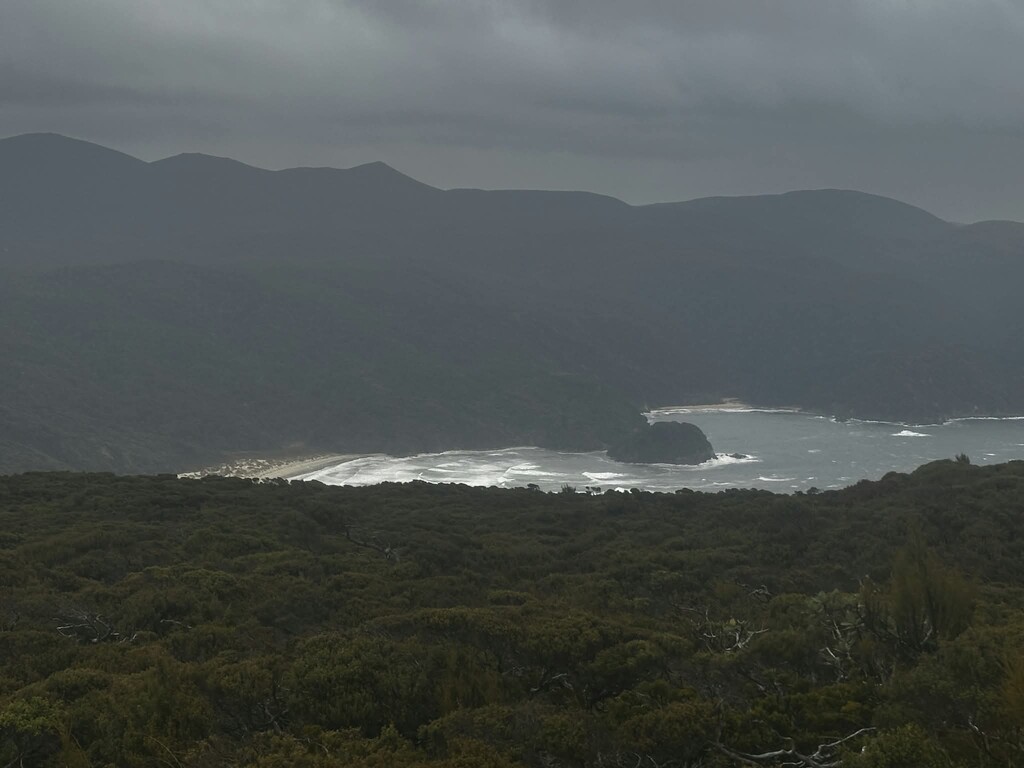
Doughboy Bay eventually comes into view below. Once at beach level, it is a short run along the coast to Doughboy Hut.
Doughboy Hut to Masons Bay Hut — approximately 18 km
Leaving Doughboy Hut, the route initially follows the beach before returning to the forest and climbing towards Adams Hill.
The forested climb can provide some of the better running on the circuit, but conditions become significantly more difficult after reaching the sub-alpine terrain. This section contains extensive deep bog and is one of the more challenging portions of the route.
Track marking across the open ground can also be difficult to follow, particularly at night or in poor visibility. Carrying the route on a GPS watch or navigation device is strongly recommended.
After crossing Adams Hill, the route descends back into forest where travel becomes considerably easier.
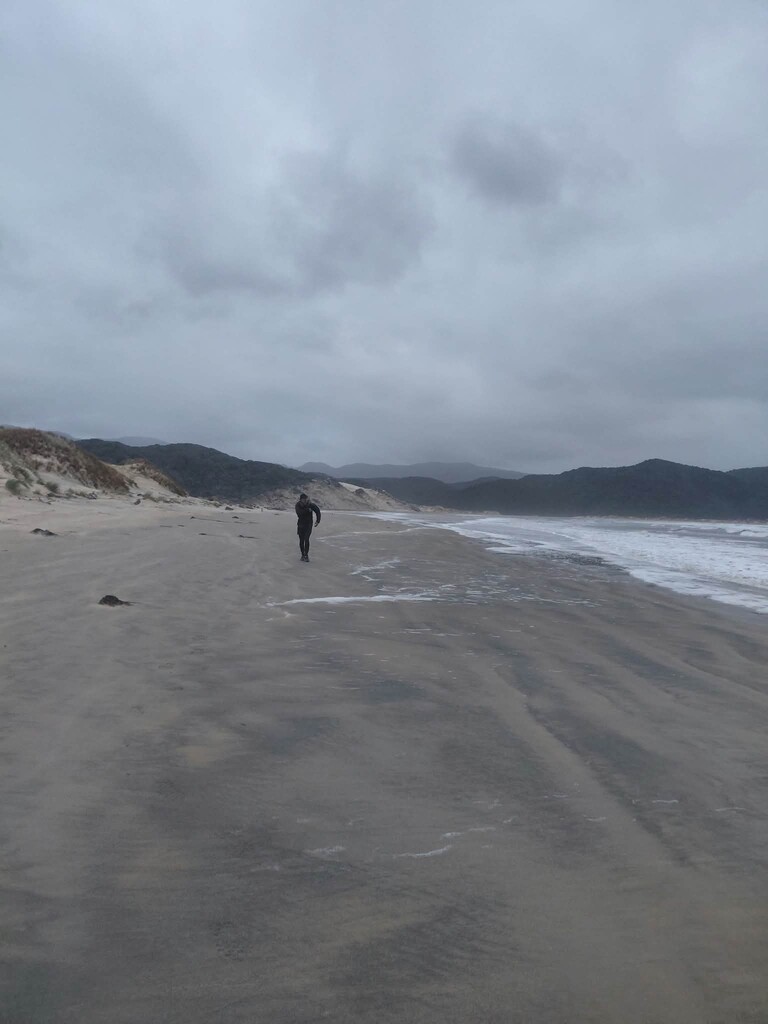
The track then emerges into a large dune system before reaching the southern end of Masons Bay. Routes through the dunes can change, and newer track alignments may not correspond exactly with older digital mapping, so careful navigation may be required.
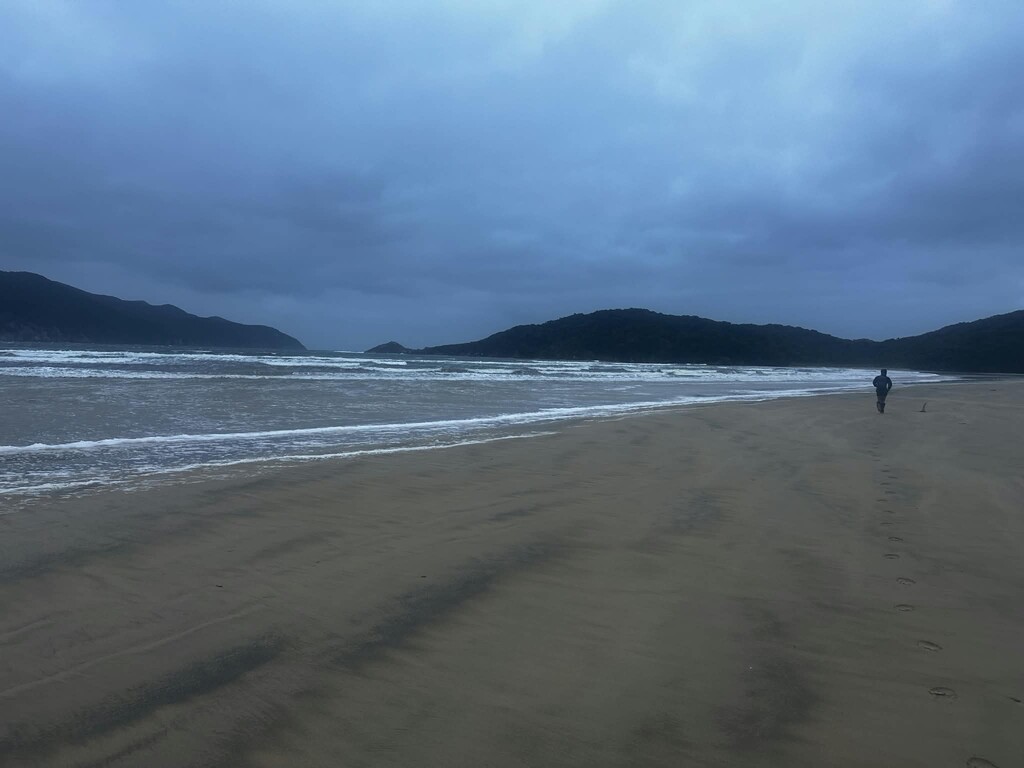
Once Masons Bay is reached, navigation becomes straightforward: follow the beach north.
There are hunters' huts along Masons Bay that may provide additional opportunities to obtain water.
The turn inland towards Masons Bay Hut can be relatively inconspicuous, particularly where Duck Creek and storm activity have altered the beach access. After leaving the beach, the route soon joins a broad grassy former road leading towards the hut.
Masons Bay Hut to Freshwater Hut — approximately 15.5 km
The final section is generally the fastest and easiest terrain on the circuit.
Much of the route follows an old road, although some sections have narrowed into singletrack through mānuka forest. Long stretches of boardwalk cross the surrounding wetlands, including the area known as the Chocolate Swamp.
The terrain is relatively flat and runnable compared with the rest of the circuit, although after a full lap fatigue can make the final kilometres deceptively difficult.
The route eventually reaches Freshwater Hut, completing the Southern Circuit.
Route considerations
The Southern Circuit is exceptionally remote and conditions can change quickly. Runners should be prepared for deep bogs, river and stream crossings, exposed sub-alpine weather, strong winds, beach running, tidal influences and potentially difficult navigation.
Water is available from numerous streams along much of the circuit, although there are fewer reliable sources across the higher sections around Doughboy Hill and Adams Hill.
Recent rainfall is one of the biggest factors affecting difficulty. In dry conditions significant portions of the route can be runnable; after sustained rain, the same terrain can involve prolonged sections of deep mud and bog.
For an FKT attempt, runners should carry appropriate navigation and emergency equipment and be capable of travelling independently through remote backcountry terrain for an extended period.
FKTs