The Southwest Track route links up the Port Davey and South Coast Tracks from Scott's Peak Dam to Cockle Creek, through the heart of Tasmania's remote Southwest National Park.
The Port Davey Track (~70km) begins at Scott's Peak Dam and meets the South Coast Track (~85 km) at Melalecua (a small remote airstrip and hikers hut). From Melaleuca, the South Coast Track continues eastward along the southern coastline to Cockle Creek.
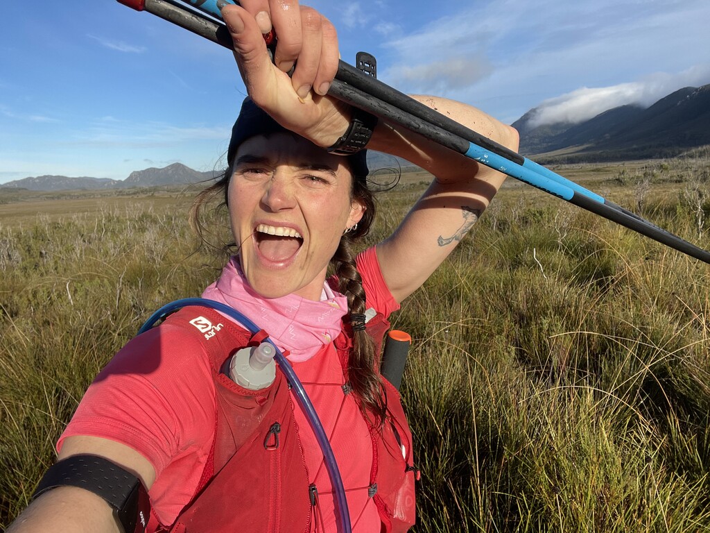
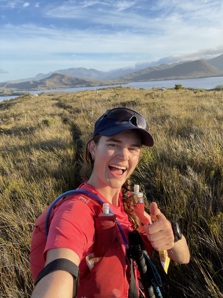
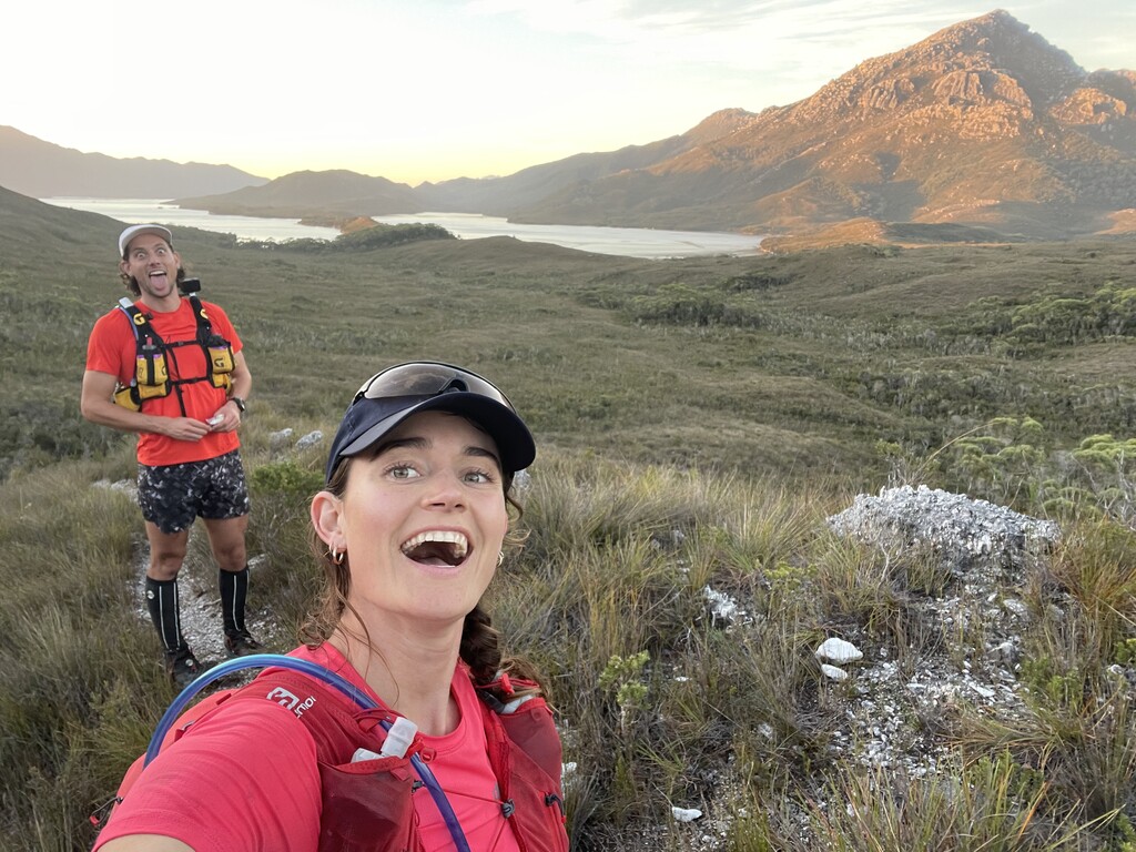
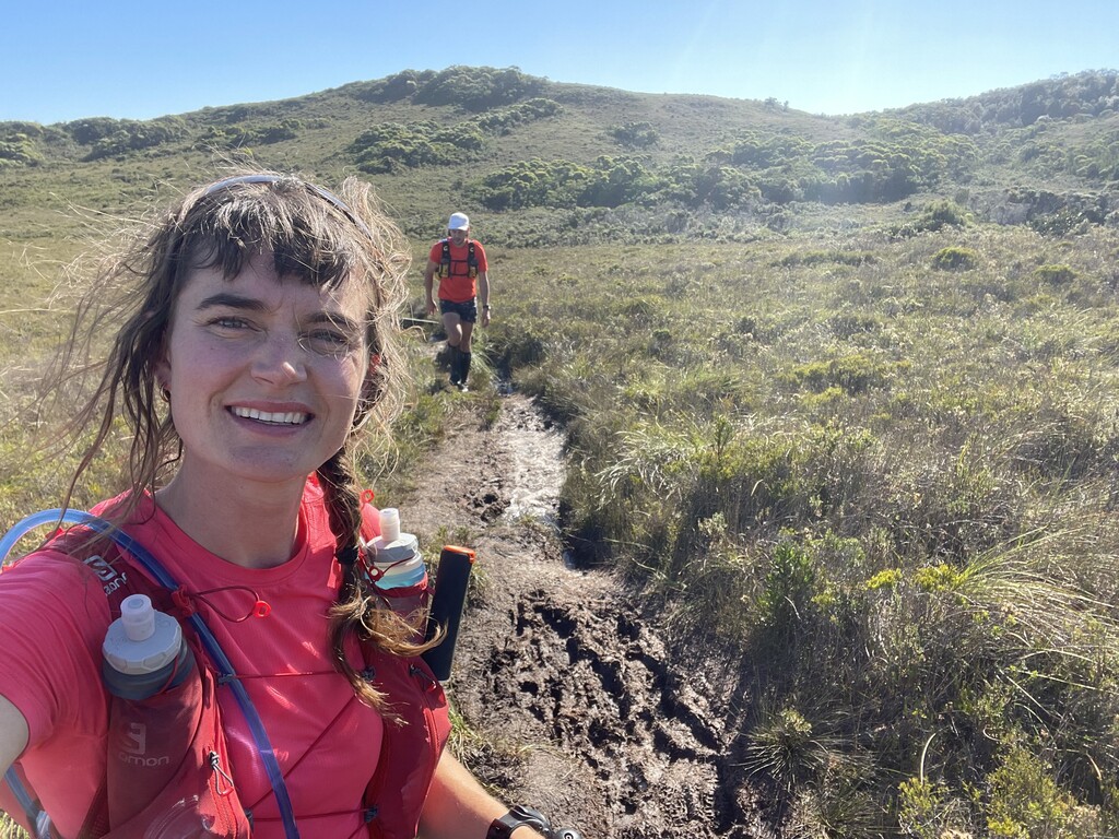
The Southwest National Park is part of the Tasmanian Wilderness World Heritage Area and home to many endemic and endangered species and diverse ecosystems. The route moves through buttongrass plains, windswept beaches, cool temperate rainforest, alpine plateau and open heathland.
Way-finding is relatively straightforward on the South Coast Track. The Port Davey track is a less-trafficked hiking trail and quite overgrown, making way-finding more difficult.
The route requires two boat crossings at Bathhurst Harbour and New River Lagoon, rowboats are provided by the Tasmania Parks and Wildlife Service.
This route is very remote with limited bail out options.