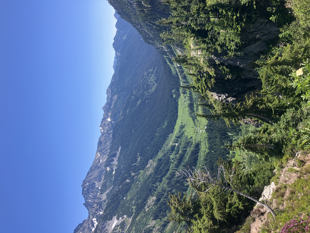
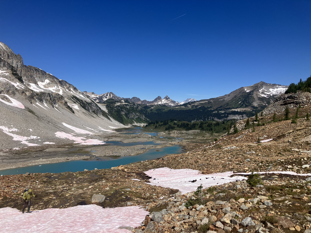
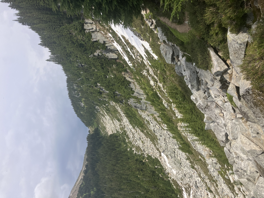
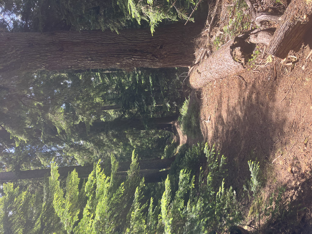
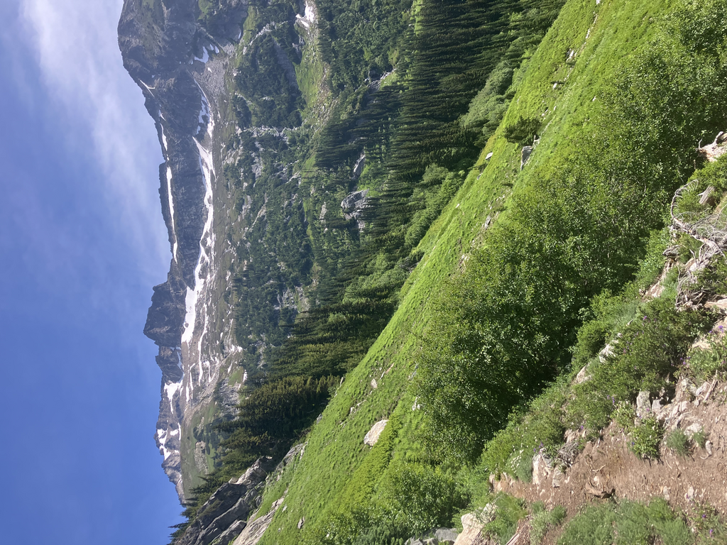
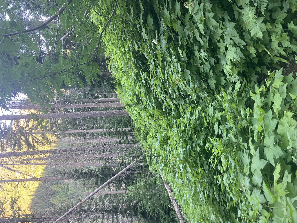
Route description (going counterclockwise). To start the route, (from Buck Creek Trailhead), hike back along the road, and then up to the Phelps Creek Trailhead on the 3 mile gravel road. The Phelps Creek Trail leads 5.3 miles through a pleasant forest with frequent fords, to the edge of Spider meadows. Beyond Spider Meadows is a steep and hot climb to Larch Knob. Spider Meadows, Cloudy Pass and Buck Creek Pass all have absolutely gorgeous wildflower displays, Cloudy Pass having some of the best wildflower meadows I’ve ever seen in my life. There’s also a stretch from Larch Knob (also incredible) to Lyman Lake that is primarily alpine and traverses a disappearing glacier. This “glacier” can pose some difficulty early in the season, and it’s rather annoying in the fact that it’s often too soft and moderate to glissade, but it’s still slippery and uneven enough that it’s hard to walk on upright. The upside to this is that about a mile of the hike is on a glacier! The northside has a few snowfields that can be tricky early in the season as well, but appeared to be easier to glissade down than Spider Glacier itself. This is usually a high route between Larch Knob and Upper Lyman Lake, so try to stick to the GPX track as much as possible, but a little bit of variation is fine between those two points. The area north of Spider Glacier is a recently glaciated basin holding the remains of the Lyman Glacier (which only 100 years ago descended all the way to Lower Lyman Lake) and the icy-cold Upper Lyman Lake. It also holds a multitude of mosquitoes which will follow you for miles and descend upon you as soon as you stop. To minimize your time not moving through this area, I recommend filling up on water from a nice little series of springs just before the edge of the glacial moraine. You don’t need to filter, and so you can move on faster before the mosquitoes have noticed you. This basin is well worth the mosquitoes, and in fall the larches here are a spectacular sight. Beyond Cloudy Pass is a highly scenic traverse high up on a boulder field. This can hold snow well into July, and can be treacherous when icy. If you are attempting this route early in the year, it is permissible to take the low route below this traverse, although I can’t imagine why you would want to, since this adds mileage and perhaps an additional 500 feet of elevation gain and loss. There’s another nice spring here on the traverse. The section of the PCT that the route uses is nicely well-graded, but somewhat boring compared to the rest of the route. This makes good running. The ascent to Middle Ridge can also have bad mosquitoes, but as you reach the ridgetop there is a pleasant meadow full of little streams, flowers and marmots. There’s excellent views of the surrounding peaks, including Fortress and Plummer. Past the ridge, you’re back into forest for another few miles, until a series of switchbacks takes you steeply up into the alpine near Buck Creek Pass. There’s a beautiful traverse beneath Helmet Butte after that, with views out over the valley and even to peaks beyond. The Buck Creek Trail passes through a burn zone for several miles, and during this passage there is one of the most dangerous points on this route, the crossing of the Chiwawa River. When I did this route, in early July, the river was a rushing torrent, with over three feet of whitewater. The strategy that worked best was walking on the rough rocks and avoiding the deeper looking areas. After that, you’re in the clear and it’s just three miles of easy walking (with a lot of brushy thimbleberry) to the trailhead.
Considerations for the time of year and direction. I hiked this route clockwise, and I would recommend that direction for the progression of scenery. It was a magical experience to hike down the spider glacier to reach Larch Knob with it’s magnificent larches and views of Spider Meadow. However, hitting the Chiwawa River later in the route so that you only have to hike with wet feet for a few miles as opposed to our 27 would be nice. Then again, the river is a good one to hit early in the morning when there’s not much snowmelt happening. Overall, the challenges of this route (water crossings, Spider Glacier, mosquitoes) diminish a lot through the summer. By fall, the wildflowers are gone, but replaced by golden larches and scarlet huckleberry fields.
Here is an Alltrails route which includes this route (Image Lake is not included in this FKT, but people often hike to it as part of this loop). https://www.alltrails.com/trail/us/washington/spider-gap-buck-creek-pass-loop