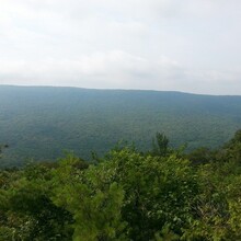
Route: A.T. - St. Anthony's Wilderness Route(Out and Back)

Submitted by Jimmy Chitwood on Sat, 04/16/2022 - 02:17pm
Location
Pennsylvania, US
Distance
51.1 mi
Vertical Gain
6,660 ft
Description

This route starts on top of Peter's Mountain/Rt. 225 and runs northeast on the Appalachian Trail. What's included in this route are Table Rock View, Kinter View, Clark's Creek, Stony Creek, the view of Dehart Dam, Cold Springs, Yellow Springs, the Rauch Gap Ruins, the Beaver Dam, and the Stony Valley rail trail. Not to mention all the "Rocksylvania" ROCKS your heart desires. A few mountain climbs and beautiful scenery, with a beautiful stretch of rhododendrons along the trail. This is a wonderful route through St. Anthony's Wilderness that I feel all trail running/hiking enthusiasts would find challenging and satisfying. 

https://www.strava.com/activities/568930984