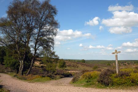
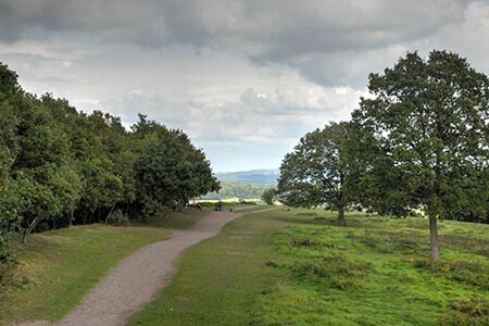
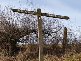
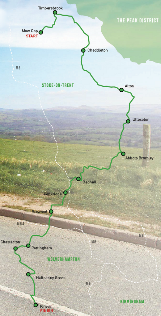
Route: The Staffordshire Way

Submitted by Kyle Hackitt on Tue, 10/10/2023 - 12:11pm
Location
United Kingdom
Distance
92 mi
Vertical Gain
2,197 m
Description

The Staffordshire Way is a 92mile point to point route, from the folly known as Mow Cop Castle the route initially hugs the Cheshire / Staffordshire border along Congleton Edge to The Cloud, in common with the Gritstone Trail. It continues along the towpath of the Caldon Canal, through the Churnet Valley and follows the River Dove to Uttoxeter. The Trent and Mersey Canal is then followed to Shugborough Hall with Cannock Chase and Highgate Common visited before reaching the sandstone Kinver Edge where it meets the North Worcestershire Path.

https://ldwa.org.uk/ldp/members/show_path.php?path_name=Staffordshire+Way

https://www.staffordshire.gov.uk/environment/RightsofWay/distancewalks/ROWPromotedRoutesMonthlyWalks.aspx


GPS Track