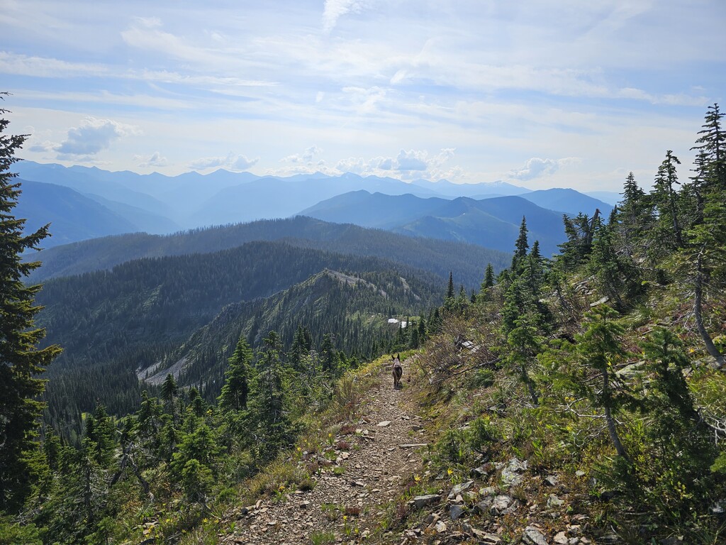
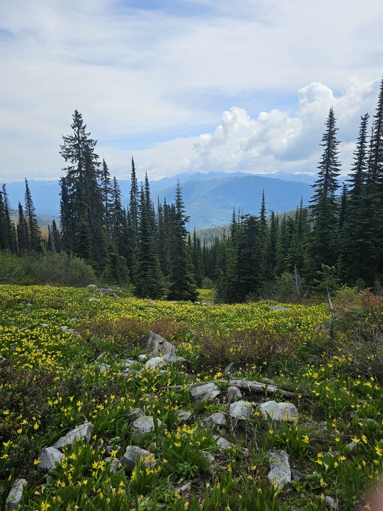
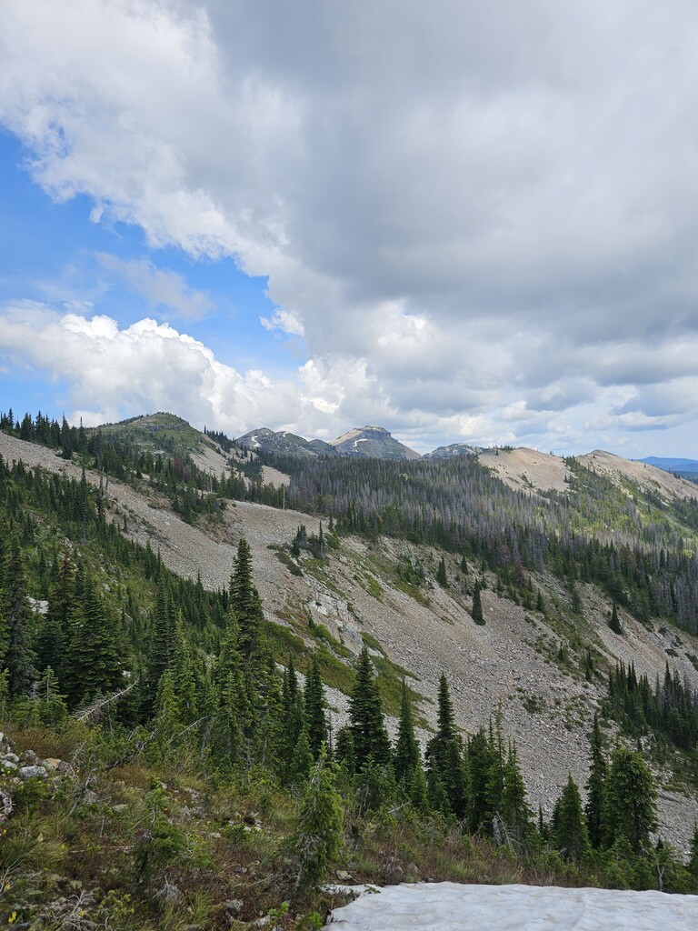
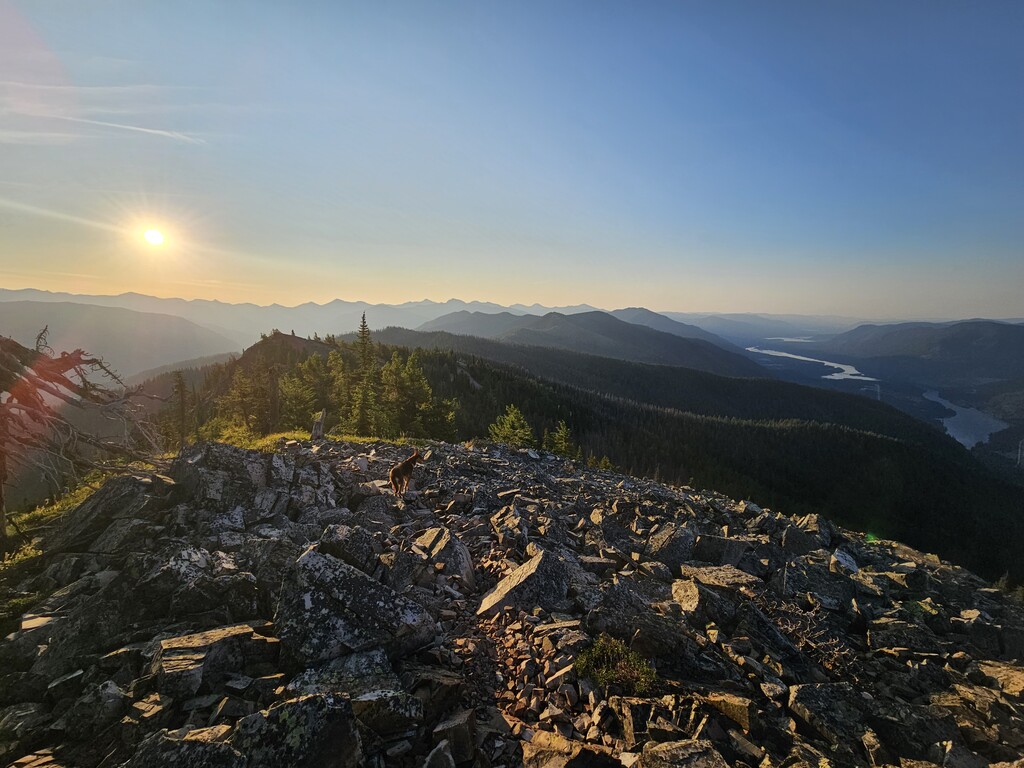
The route is a lollipop starting from the Historical Big Eddy Trail (#999) which ties into the Big Eddy (#998). Start just off the highway where trail 999 ties into the dirt road. The route climbs to Star Peak with some great views of the Cabinet Gorge Reservoir and once at the top across the valley at the Cabinet Mountains (the proper chunk of them rather than this sub-chunk). Tag the summit and take a peek at the views from the lookout then head back down the trail and to the east to find the ridgeline and Pillick Ridge Trail (#1036); you drop down Star Gulch just a little bit before crossing the north face of Star Peak and tying into the ridge. Again, great views to be had on Pillick Ridge looking towards the Cabinets and overlooking the beautiful valleys on either side. A couple miles down the ridge look for the Napolean Gulch Trail (#1035) heading down to the north. Take this down the backside into the Bull River Valley where you tie into the Dry Creek Trail (#1020). Dry Creek is used as a connector trail to Star Gulch (#1016), don’t miss the turn off to Star Gulch, it’s in a really brushy section and these trails see very little use. Up Star Gulch for another quick tag of the summit look-out tower and you’re back down the Historical Big Eddy!
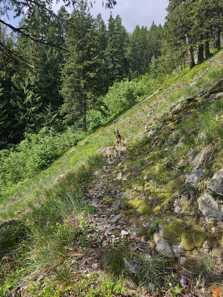
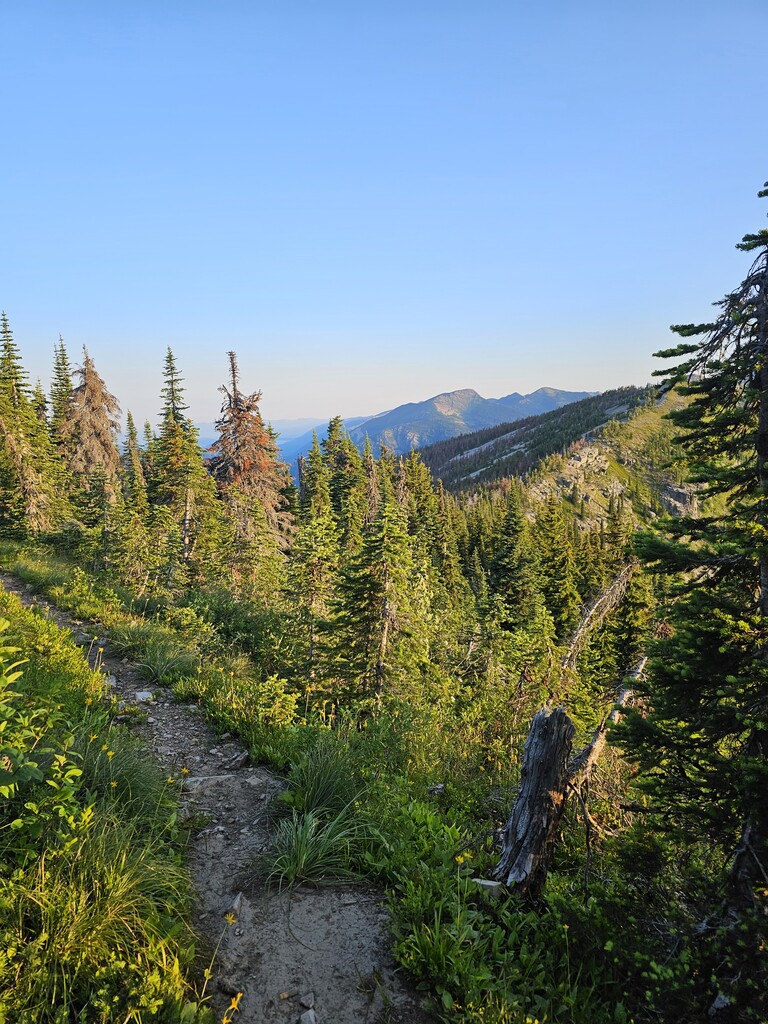
There was a burn in the area (2015 I have been told but I believe maybe there was one more recently as well) and both Napolean and Star Gulch may have a lot of blow down if it hasn’t been cleared for the season. When I ran it, it looks like the clearing crew just ran out of steam/resources and all had been cleared except about 2 miles at the bottom of Star. The backside trail is also in need of some serious brushing up but the trail bed is there and if you’re used to following very faint trails you will enjoy this route. It looks like a group called Friends of Scotchman’s Peak Wilderness is supposed to be maintaining these trails but their trail work party wasn’t scheduled until the week after I ran it so I’m not sure who has been logging it out (thank you to whomever you are as there was a TON of down timber!) This is also a fairly hot and dry route so springtime might be advised to allow for run off creeks to be running but beware the slippery rocks the local geology offers up, the creek crossings can be sketch! There is also a cabin just off the look-out and the summit build up is worthy of spending a quick minute to explore so enjoy it!