Location
United Kingdom
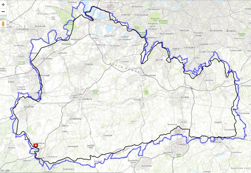
Distance
337 km
Vertical Gain
3,100 m
Description
GPS Track
route3311247046.gpx323.04 KB
FKTs
Male
| Richard McChesney | 3d 8h 59m 14s |
Images