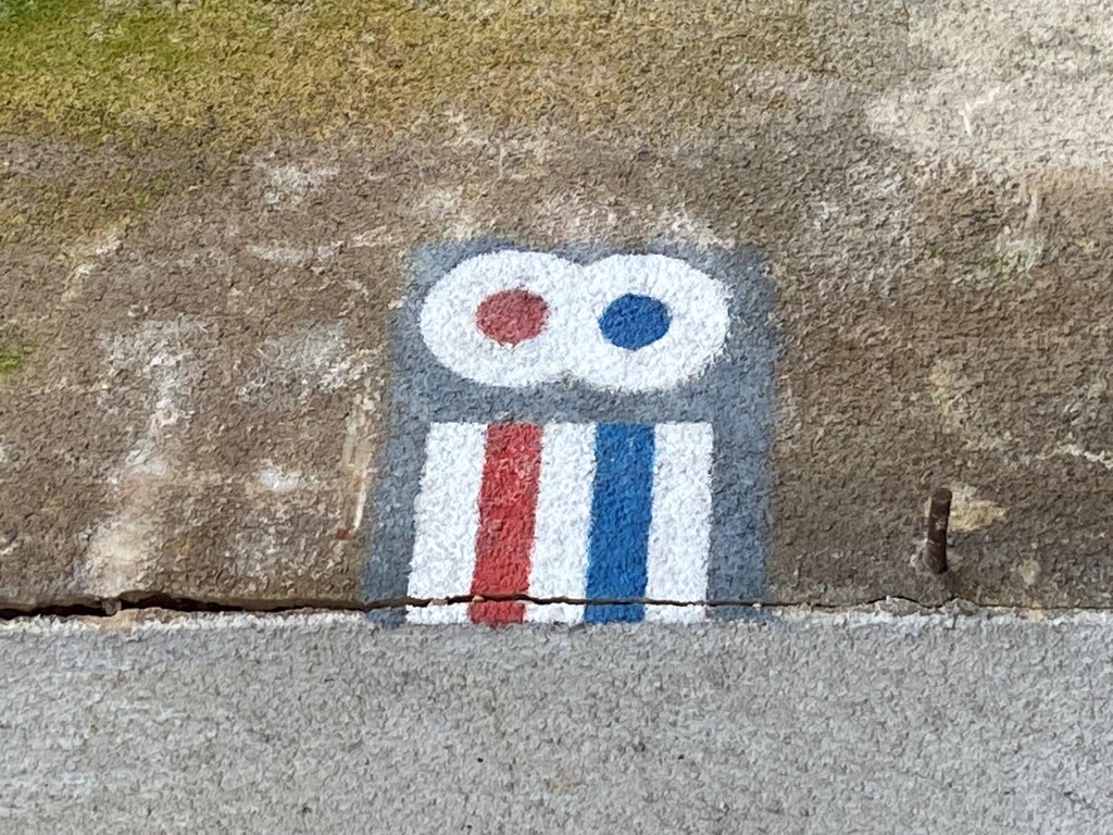
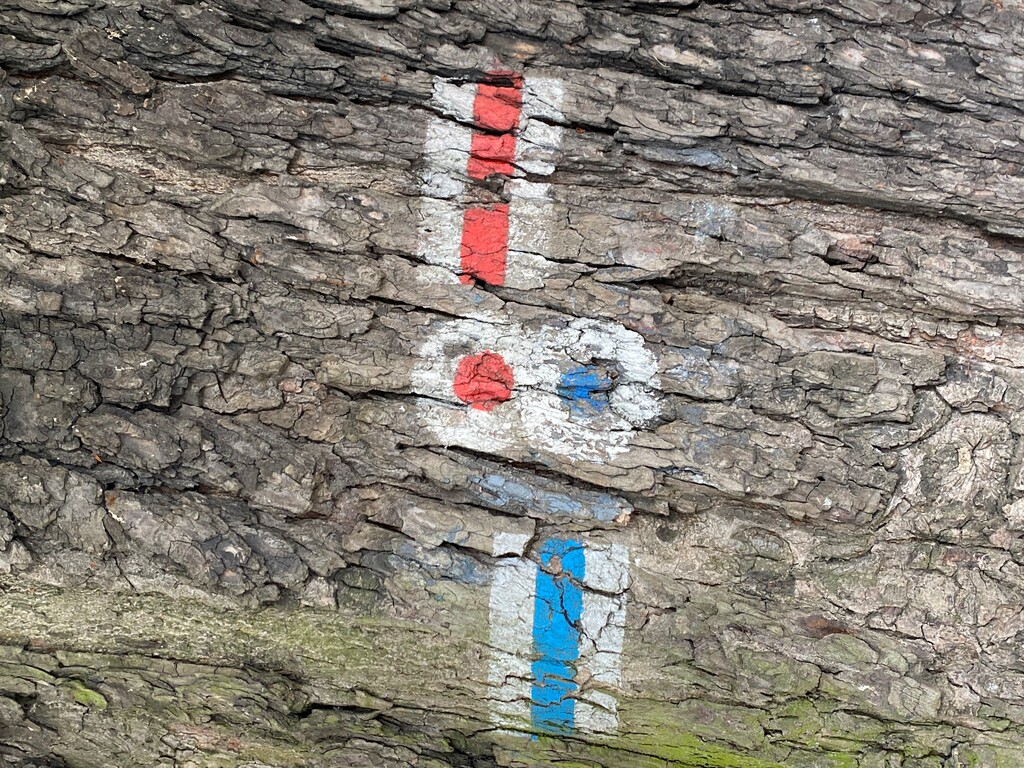
The trail leads through the Goleniów Forest through the areas of Szczecin and the municipalities of Goleniów and Stargard Szczeciński. The course of the route: Szczecin Załom PKP - Kliniska Wielkie - Pucko - Strumiany - Sowno - Cisewo - Grzędzice Majątek - Grzędzice - Stargard Szczeciński PKP. Number in the West Pomeranian Tourist Trail Base: P-N-ZS / ZGL / ZST-045, according to PTTK: ZP-1058-n. The trail is marked in blue.
The trail connects Szczecin with Stargard Szczeciński. It runs through the pine forests of the Goleniów Forest, on the way it approaches the Ina River several times - a canoe trail marked in the Goleniów commune, but also often used from Sowna or Stargard Szczeciński. Perfect for people who want to hike (or bike) in healthy and clean air.
Episode 1: Szczecin Załom PKP - Strumiany. Surface: asphalt, pavement, paved roads, dirt roads.
The trail starts at the PKP stop in Załom (a district of Szczecin). Together with the red "Rekowski" walking trail, we set off along the track. We come to an asphalt road (line 77 bus stop) and turn right. We walk along the pavement along ul. Kablowa until the end of the school grounds. Behind the pitch, we turn right and follow the signs of the trail through a pine forest to an asphalt road. We enter it for a moment, turning right. After about 200 m, we go left and go through the forest to Załom. We cross the street and pass the church on the right. We turn right and go along Rzemieślnicza streets and right on Chabrowa. After reaching ul. Lubczyńska, turn left and after about 200 m turn right. We walk along a paved and asphalt road. We enter Osiedle Kasztanowe, passing the pitch, then the shop on the left. After leaving the estate, the trail leads along a wide road to the railway tracks. Before them, we turn left and walk along it all the way to Kliniska Wielkie.
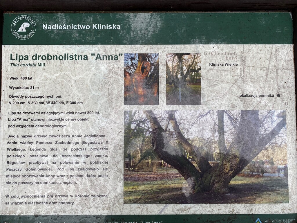
We pass the train station (beginning / end of the green Kliniska-Goleniów pedestrian trail) and after reaching the asphalt road (ul. Piastowska), we turn right. We come to the national road no. 3 and 6. We go to the other side, being careful. Then we hike together with the green hiking trail to Goleniów. After about 500 m, we turn right and along a forest road, then an asphalt road, we come to the Kliniska Forest District, where the Nature and Forest Education Center is located. Here, it is worth seeing the exhibition hall in the building of the forest inspectorate and the approx. 450-year-old linden "Anna" with which the legend of the trail's patron is related. We can rest for a while under the shelters or take a walk along the educational path of the forest inspectorate. Behind the center, the trail runs through one of the largest unpopulated fragments of the Goleniów Forest and passes fire observation towers. The forest here is quite monotonous (a typical pine forest). Behind it, the trail reaches the village of Strumiany, where one of the canoe launching sites on the Ina River is located. We can also visit the post-Evangelical cemetery and admire the half-timbered buildings from the 19th century.
Episode 2: Strumiany - Stargard Szczeciński PKP. Surface: asphalt, pavement, paved roads, dirt roads.
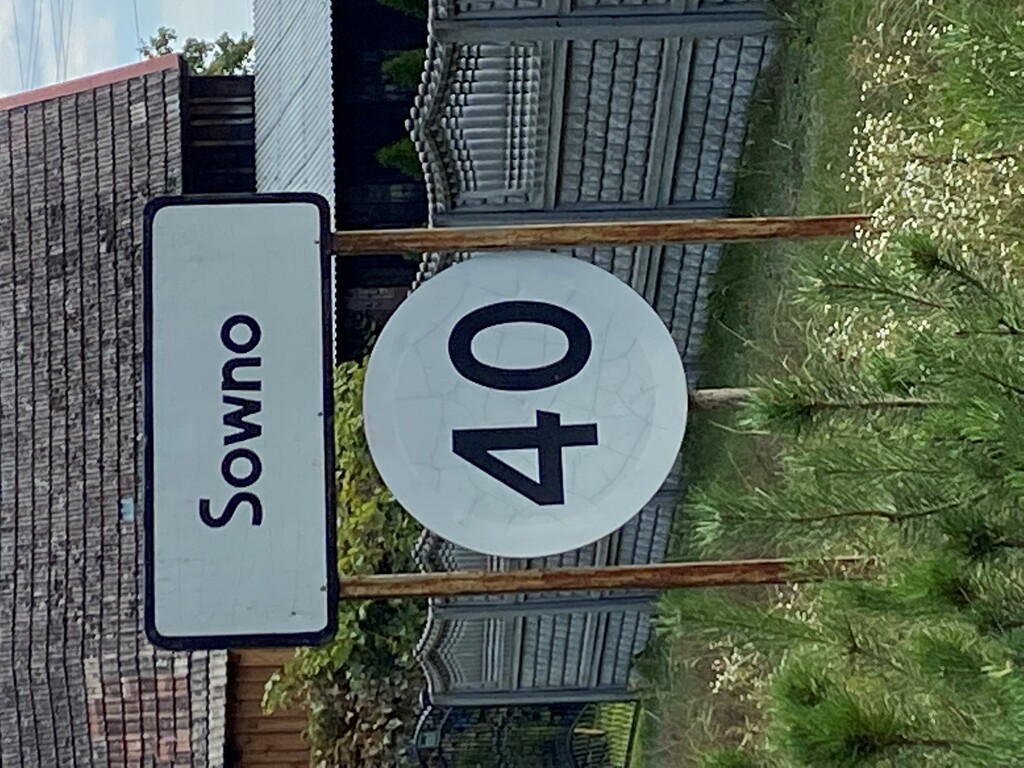
In Strumiany, we turn right and walk along the asphalt road and the viaduct over the provincial road No. 142 (Szczecin – Chociwel). We march through the pine forest again. The asphalt road leads us to the village of Sowno nad Iną, where it is worth visiting a neo-Gothic church from the 19th century. Inside, there is a Renaissance altar and a pulpit made in the mid-16th century in the workshop of Hans Peisser. The founder was Prince Barnim XI Stary, to whom legend attributes the personal execution of the altar. In the porch of the church there is a sandstone slab, unique on a European scale, from the 16th century in memory of Mikołaj Hinze, the jester of Prince Jan Frederick, who died in 1599. The half-timbered houses from the same period as well as the post-German cemetery and the nearby monument commemorating the German inhabitants of Sowna are also worth mentioning. It is worth adding that in Sownie near the bridge there is a place for launching canoes on the Ina River.
From Sowna, the trail goes south along a dirt road, passing the settlement of Podlesie, where the hunting lodge of the Szczecin dukes used to be located. Next, the route runs through the forests and meadows of the Pyrzycko-Stargardzka Plain, passes the Kępa Bukowa hill (21.7 m above sea level) and leads through the scattered village of Cisewo in the Kobylanka commune. Behind Cisewo, on the so-called Kępie begins / ends with the green trail leading to Morzyczyna and further through Kołbacz to Szczecin the "Miedwiecki" trail. At the junction of the trails, we turn left and along a wide forest road, later along a field road, we reach the village of Grzędzice-Majątek, where there is a small chapel, and the village of Grzędzice in the commune of Stargard. The most important monument here is a gothic church from the 15th century with very valuable furnishings (polychrome from the 15th century, a crucifix and a baptismal font from the Middle Ages). In Grzędzice, at the church, the beginning / end of the trail is black (connecting trail) and the "Grzędzicki" trail, which goes through the Grzędziczki colony to the Grzędzice Stargardzkie railway station (south direction).
Our trail passes through a junction of trails, and after a while, turn south-east and reach Stargard via a paved road. Here it runs along the following streets: Podmiejska, Piłsudskiego, Konopnicka and Dworcowa. It ends at the railway and bus station.