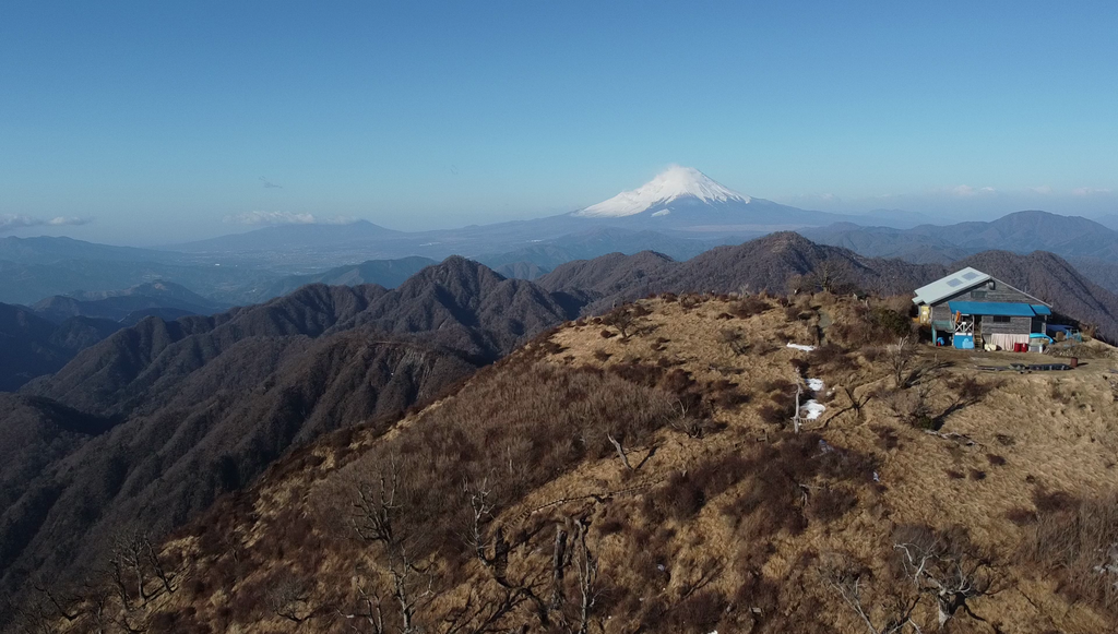
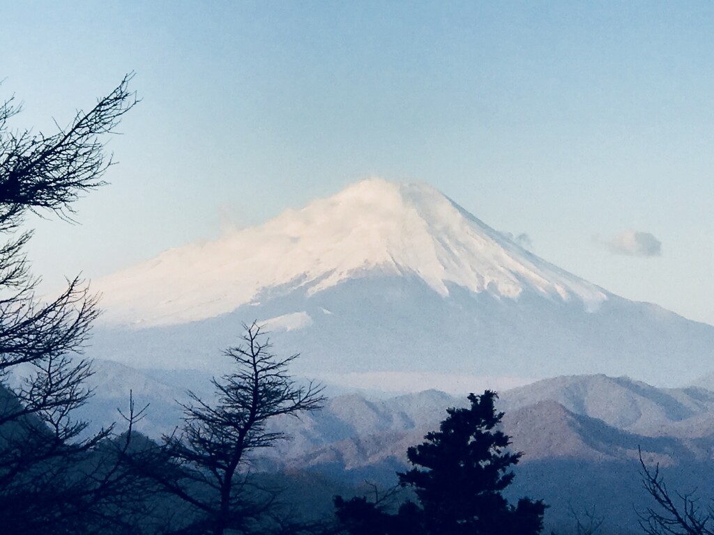
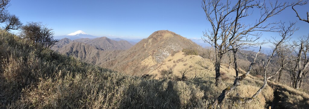
The Tanzawa Mountains are ever present on the Tokyo horizon, tracing a dark saw-tooth line across the foreground as one looks out towards Mount Fuji.
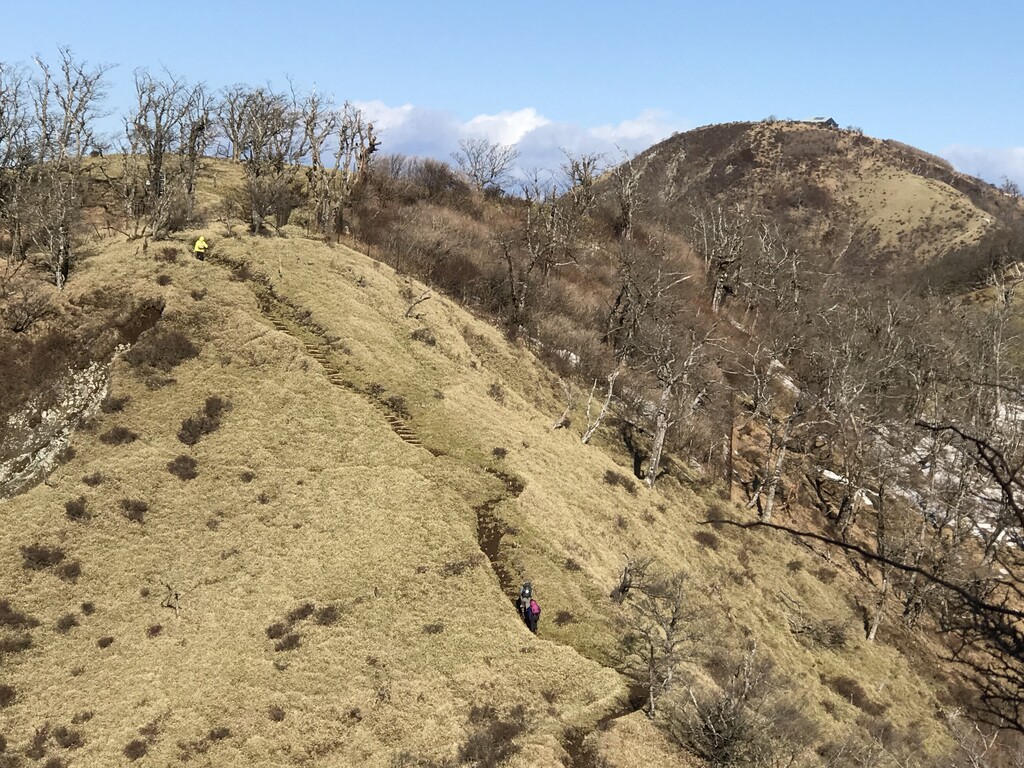
The Tanzawa Main Range (丹沢主脈) traverses the tallest peaks in the range on a mostly North/South axis, including Yakiyama, Hirugatake, Tanzawa, and Tonodake. It offers fairly runnable trails along a rolling ridgeline, with spectacular views of downtown Tokyo, Mount Fuji, and the Pacific Ocean. On a clear day, you can easily make out Tokyo Skytree and Oshima Island.
This attempt was part of an unsupported overnight solo mission, with some time lost to scrambling around a washed out section of the trail, and getting some drone shots. Would be happy to see others attempt this classic line in the future.