The original Tauernhöhenweg (this FKT course describes the central part) has over 200km and 20.000d+ and runs from the Seckauer Tauern to Ahrntal in Südtirol. This High Trail gets its name from the mountain ranges it runs through: the Niedere Tauern and the Höhe Tauern.
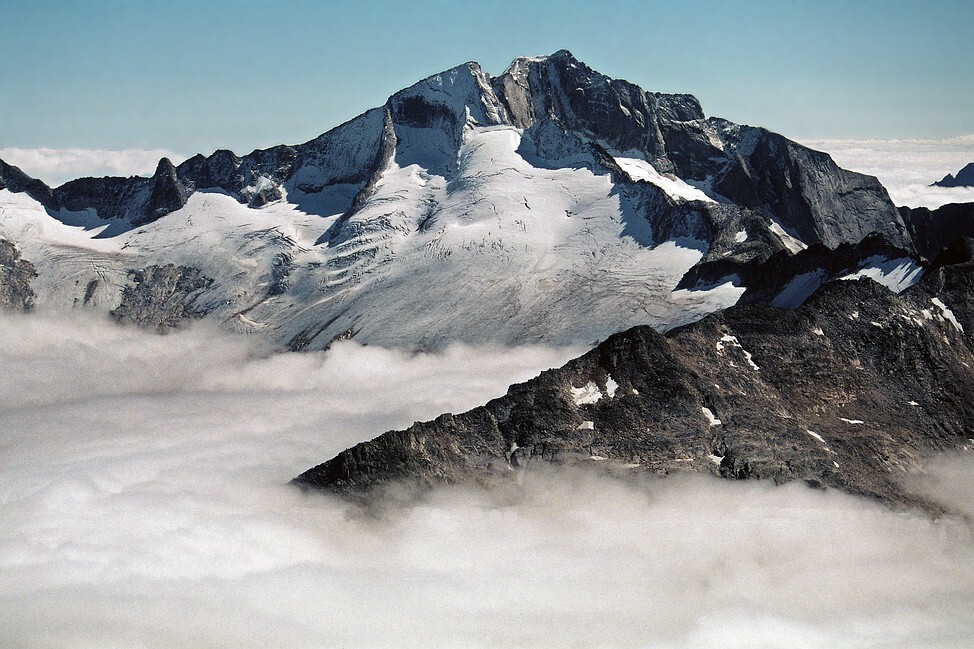
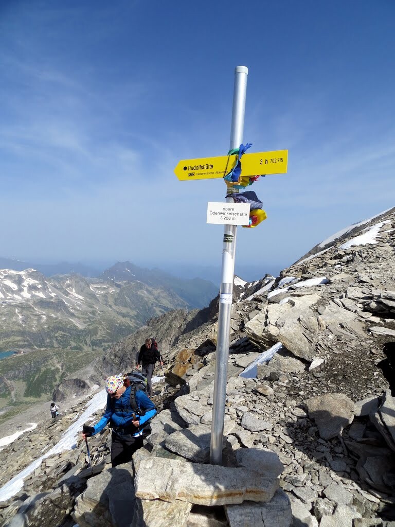
This high alpine variant leads from the Zittelhaus (hosted hut) over the Hocharn summit [3254 m], further along the ridge of the Tauern main ridge to the Hochtor on the Großglockner high alpine road and then over the Spielmann summit [3026 m] to the Glocknerhaus (hosted hut). It continues over the Franz-Josephs Höhe to the Oberwalderhütte (hosted hut). From there the last stage leads over the Ödenwinklkees (glacier passage) and the Obere Ödenwinkelscharte (3233 m) to the Berghotel Rudolfshütte. Needless to say that the route offers extraordinary alpine views, deep blue mountain lakes and amazing wildlife. You will be running in the most remote places of the Austrian Alps.
Caution: this course runs through high alpine terrain with glaciers, snow and scree fields and various via ferrata with climbing grades up to I/II. Be well prepared/equipped for these sections, should you arrive at these areas in the dark (!).