The Tiltrock Loop has a good website for planning and more info.
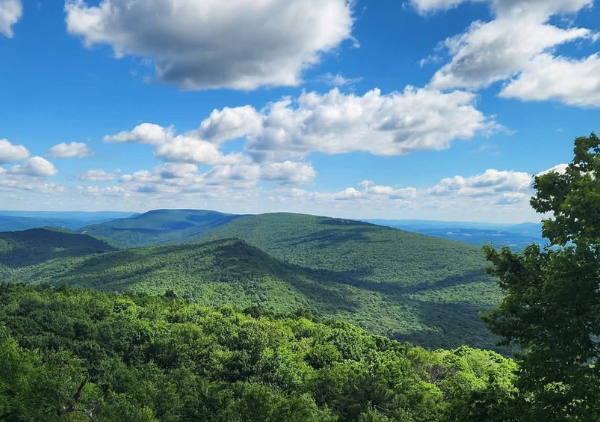
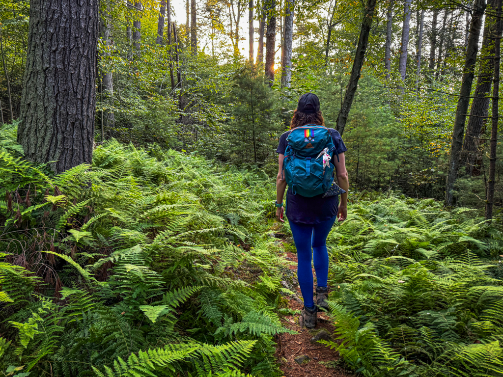
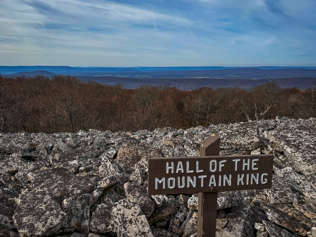
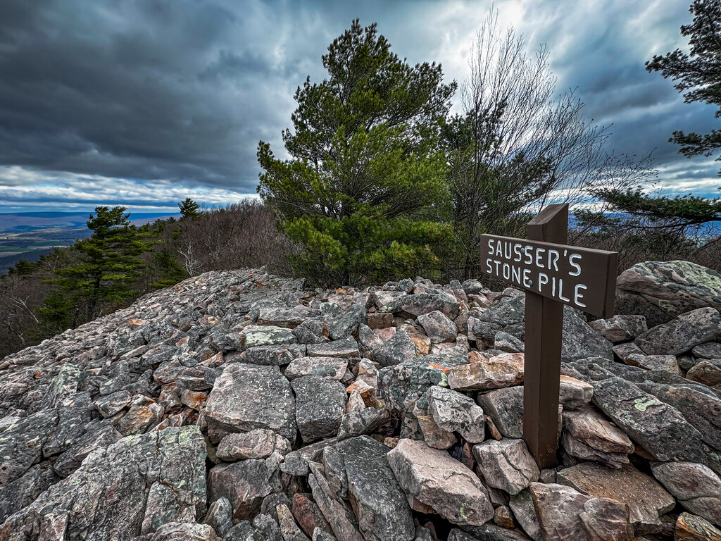
It is new long-distance backpacking experience connecting some of Pennsylvania and Maryland’s most rugged trails, remote ridgelines, and historic landscapes.
The Tiltrock Loop is a newly connected route made up of the Mid State Trail, Standing Stone Trail, Tuscarora Trail, Great Eastern Trail, and C&O Canal Towpath into one extraordinary circuit through Pennsylvania and Maryland.
How did it come about? For years, the infrastructure was already there. The Great Eastern Trail featured a natural bifurcation, and these historic pathways wove through the same rugged ridge-and-valley topography. It took the vision of the Bedford County Outdoor Recreation Alliance, regional trail authorities, and local trailblazers to recognize that these separate pieces could be unified.
Today, they form a continuous 300-mile loop, completely eliminating the hurdles of vehicle shuttles and point-to-point planning.
Distance - 300 Miles, Total Elevation Gain - 33,372 ft, Highest Elevation - 2,727 ft at Martin Hill, South of Everett
Water Availability:
Hikers should plan to carry three liters of water daily and camp near water sources. Water reliability fluctuates heavily based on seasonal conditions; always assess current conditions rather than relying solely on map waypoints.
Camping Options:
A diverse mix of lodging and backcountry sites, ranging from Tenley Park and the Union Hotel in the gateway trail town of Everett to shelters and primitive sites spanning Rothrock State Forest, Cowans Gap State Park, Green Ridge State Forest, and the Martin Hill Wild Area.
Resupply Strategy:
Plan to carry 3–5 days of food. Full grocery access is available in the trail town of Everett, PA, or in Hancock, MD, with smaller-scale markets, gas stations, and diners accessible in trail-adjacent towns like Williamsburg, Mapleton, and McConnellsburg.
Section 1 - Everett To Williamsburg
41 Miles / 4,900 ft Elevation Gain
AMENITIES
Everett: Parking at the Union, Camping, Bathrooms, full grocery store, coin laundry, post office, restaurants
Williamsburg: Parking, Bathrooms Dollar General on trail, Pizza and Gas Stations
Section 2 - Williamsburg to Greenwood Furnace SP.
51 Miles / 4,800 ft Elevation Gain
AMENITIES
Williamsburg: Parking, Bathrooms Dollar General on trail, Pizza and Gas Stations
Greenwood Furnace SP: Parking, Camping, Bathrooms Water
Section 3 - Greenwood Furnace SP to Cowans Gap SP.
75 Miles / 11,800 ft Elevation Gain
AMENITIES
Greenwood Furnace SP: Parking, Camping, Bathrooms Water
Cowans Gap SP: Parking, Camping, Bathrooms
Section 4 - Cowans Gap SP to Hancock, MD.
40 Miles / 2,700 ft Elevation Gain
AMENITIES
Cowans Gap SP: Parking, Camping, Bathrooms
Hancock MD: Parking, Bathrooms, Full Grocery Store, Bed and Breakfast, coin laundry
Section 5 - Hancock to Paw Paw
32 Miles / 200 ft Elevation Gain
AMENITIES
Hancock MD: Parking, Bathrooms, Full Grocery Store, Bed and Breakfast, coin laundry
Paw Paw: Parking, B&B, Tavern, Gas Station, Dollar General
Section 6 - Paw Paw to Everett.
61 Miles / 7,200 ft Elevation Gain
AMENITIES
Paw Paw: Parking, B&B, Tavern, Gas Station, Dollar General
Everett: Parking at the Union, Camping, Bathrooms, full grocery store, coin laundry, post office, restaurants