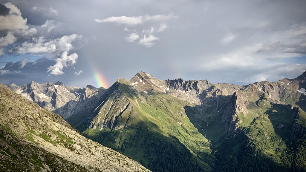
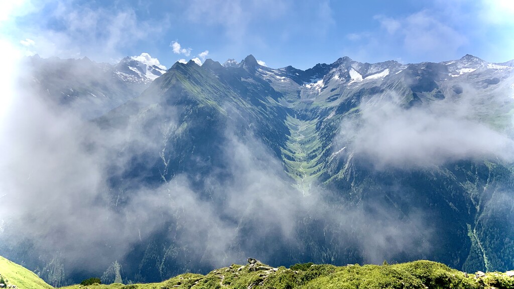
The Tiroler Höhenweg begins in Mayrhofen/Austria (Center) and ends in and Merano/Italy. It starts with the ice giants of the Zillertal Alps and the dark mountains of the main Alpine ridge. This continues with the pale dolomite peaks of the Tribulaune. And that only ends with the descent through the apple orchards of Merano, after another five days over the high hiking peaks along the Passeirer Timmelstal and through the Texel group, rich in lakes.
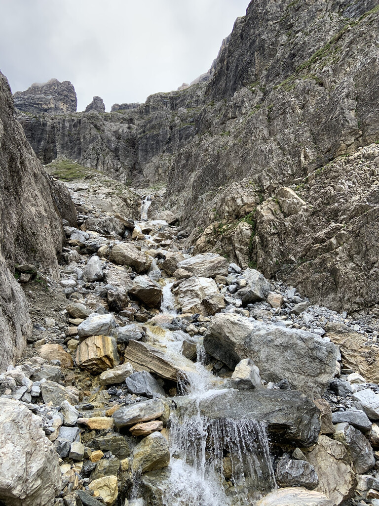
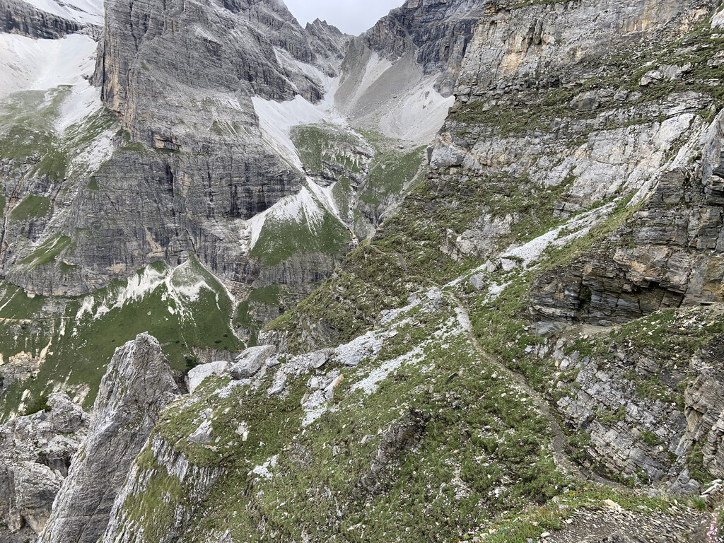
The recommended, consistently and uniformly marked route begins in Mayrhofen in the Zillertal and leads via Schlegeisspeicher, Pfitscher Joch, Landshuter Europahütte and Wolfendorn to the Brenner Pass. You can avoid him or - more courageously - get to know his exciting fate consciously. We continue over the yokes to Obernberg and to the Tribulaunen (It is here - and not in the Dolomites - that the French geologist Dolomieu discovered the rock named after him.) See the mountains from the inside: the stages past the extensive, skilfully restored mines in the Ridnaun Valley and on the Schneeberg invite you to take a rest day before the path turns south and between the Ötztal Alps and the Passeier Valley towards the Texel Group and further on to Merano. The path almost always moves between 1600 and 3000 meters. There are five overnight stays in huts and five overnight stays in small valley towns. This shows that the Tiroler Höhenweg can not only be walked as part of a large alpine enterprise. A whole range of entry and exit options make it possible to choose individual stages. “Back doors” to individual stages include: the Brenner Pass and the Obernberger Tal, Pflerscher Tal and Ridnauntal, Passeirer Timmelstal and Pfelderer Tal.
Note: Don´t get confused, most route descriptions you find will tell you that the route is about 130km long, but that is from the Schlegeisspeicher far into the valley and not the town of Mayrhofen. The only known time for now is about 57 hours by Daniel Jung in 2018. (He does not claim an fkt here, because as far as I know he is not happy about his performance)
Comments
I am going to attempt a sub 48 hour solo & self supported run on the THW from Mayrhofen to Meran starting around August 10th. I will follow the intended route except for two parts. I will not leave the ridge to run down to Sattelbergalm and neither to the village of Obernberg because those locations do not belong to the highroute and are only intended by the route creators to give hikers a place to sleep and resupply.
Hoping for a good weather window, very excited for this project!
Quit at Brenner about 60km in. Did not feel safe traversing the very technical parts of Pflerscher Höhenweg in the night after over 14 hours in. Next time I will start late to be there at daylight.