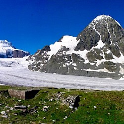
The Combins tour is a 6-day hiking tour that goes around the Combins massif. (Grand Combins 4314)
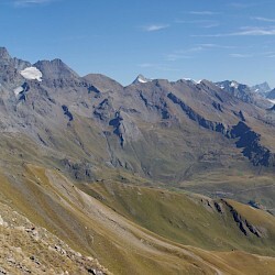
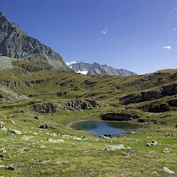
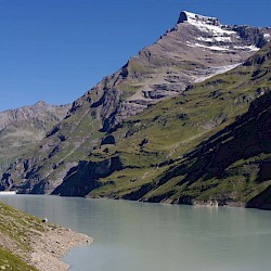
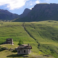
It starts in Bourg Saint Pierre and goes through the hut de Mille (2647), Brunet and follows the Col des Avouillons (2647). It passes through the suspended footbridge of Panossière (190m long and 70m high). After passing the Panossière hut, it passes through the Col des Otanes (2880). The path passes over the Mauvoisin dam. Then it reaches the Tsofeiret pass (2635). After that it passes next to the Chanrion hut and climbs to the Col de la Fenetre de Durnand (2797). It is also the passage through the Aosta Valley in Italy. The route continues to the Champillon hut and the Champillon pass (2708) from where you can clearly see the Mont-Blanc massif. The path continues towards the village of Saint-Rhémy. Then continue towards the Col du Grand Saint Bernard. Then you just have to descend along the valley and along the Toules dam. And there are only a few kilometers left to Bourg Saint Pierre.
This tour mainly borrows single tracks. It is very well marked. Follow the TDC markings.
All information about the tour is on the website https://www.tourdescombins.ch/fr/
Comments
Has there been a recorded time for a single push effort on this route?