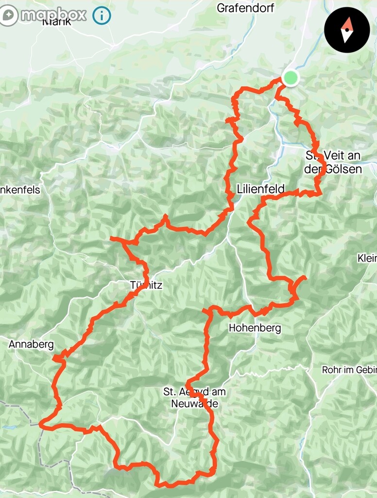
Route: Traisentaler Rundwanderweg #655 (Austria)

Submitted by thorben_turbo on Sun, 11/01/2020 - 12:06pm
Location
Austria
Distance
162 km
Vertical Gain
9,100 m
Description

The Traisentaler Rundwanderweg is an old long-hiking route in Lower Austria from the 1980s which is preserved in a small booklet by the Austrian Alpine Club. It starts at Wilhelmsburg and leads all the way to its highest peak (Göller, 1.766m) by crossing i.a. the Reisalpe (1.388m) and taking on the Tirolerkogel (1.380m) on the way back, before returning to its starting position. The total elevational gain accumulates to over 9.000m/30.000ft which stretches over 160km/100Mi.
The original route in the booklet is about 170km long and offers a lot of variations, but I excluded the short detours towards villages, which only originally serve the purpose of finding a hotel.

GPS Track
Images