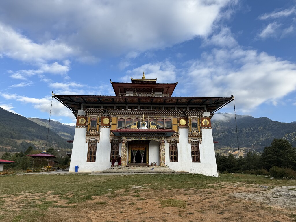
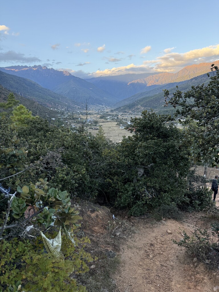
Route: Trans Bhutan Trail

Submitted by Meghan Hicks on Mon, 11/17/2025 - 10:25pm
Location
Bhutan
Distance
426 km
Vertical Gain
22,527 m
Description

The Trans Bhutan Trail is a historic pathway that has connected the main cities of Bhutan for hundreds of years. When the country's main road was constructed around 60 years ago, the trail lapsed into disuse. During the COVID-19 pandemic, the Bhutanese government invested thousands of hours and an unspecified amount of money in clearing and reconstructing the trail, which was reopened for use in the fall of 2022. The trail connects the town of Haa, located in western Bhutan, to Trashigang in the east. The trail tread and quality vary widely throughout its length, ranging from a brushy jungle trail to alpine singletrack. Wildlife abounds, including incredible birdlife, several species of monkeys, tigers, leopards, bears, snakes, spiders, and so much more. The trail is marked with white blazes relatively well, although some crucial areas are missing markings, and navigation proficiency is generally required. It is likely that the route will evolve a bit over time in and around settlements, cities, and farming areas to better protect crops, locals' land and privacy, and provide for hiker needs. Bhutan mandates hikers to have a guide as of 2025, so fastest known time attempts in the future should expect to meet this government requirement.