ROUTE IN BRIEF:
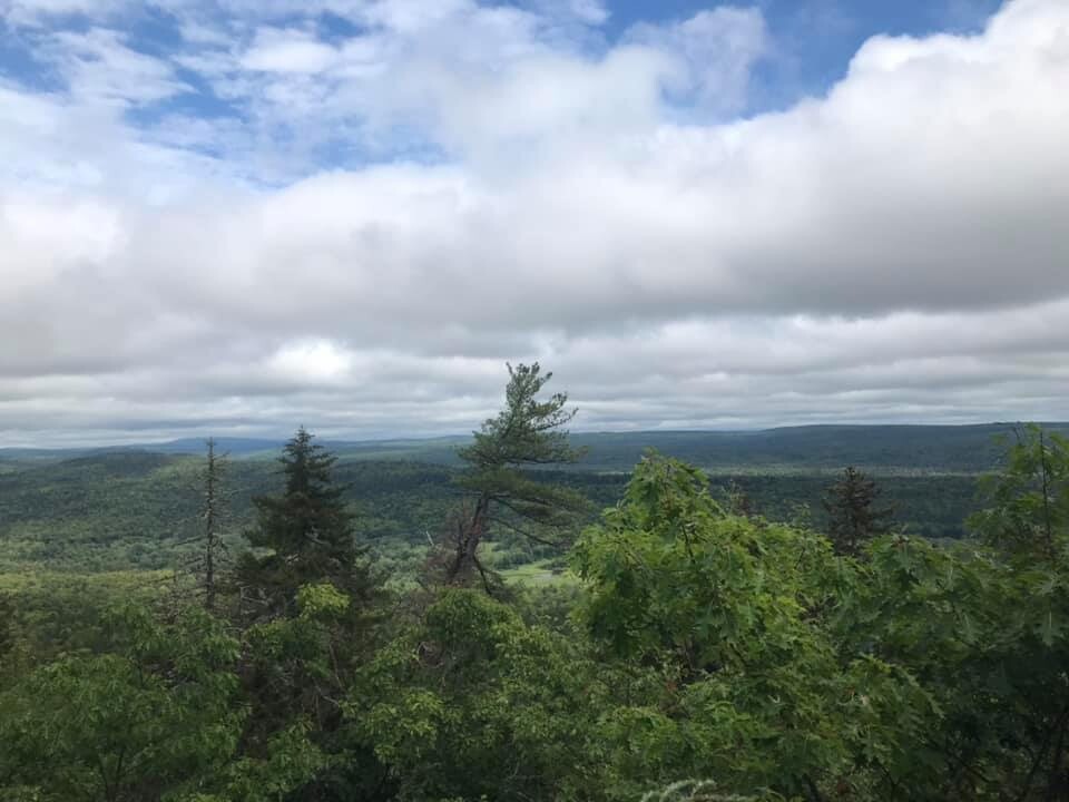
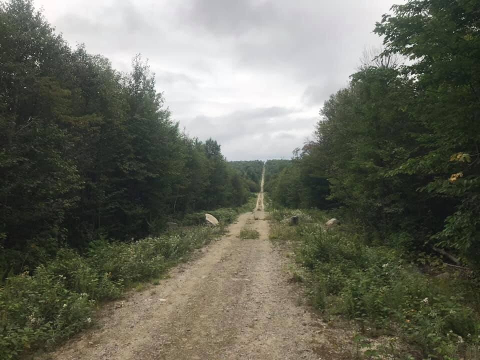
In the north this route begins at the park’s Matagamon Gate. Then follow the International Appalachian Trail for approximately 31 miles to the Katahdin Loop Road for 8 miles until finally turn onto the Kelloch Mountain Road 1.5 miles to the Kelloch Gate, a locked maintenance gate on the southern boundary of the park. Stunning views of the Penobscot Valley and Mount Katahdin, Maine’s tallest mountain, are scattered throughout this remote route. Overall, approximately thirteen miles of the route follows well maintained gravel NPS forest roads all located at either end of the Monument. In the center, about eight miles is single track through mature and old growth forests over the Monument’s two tallest peaks, and the remaining nineteen miles follow abandoned and closed logging roads through young, regenerating forests.
ROUTE IN DETAIL:
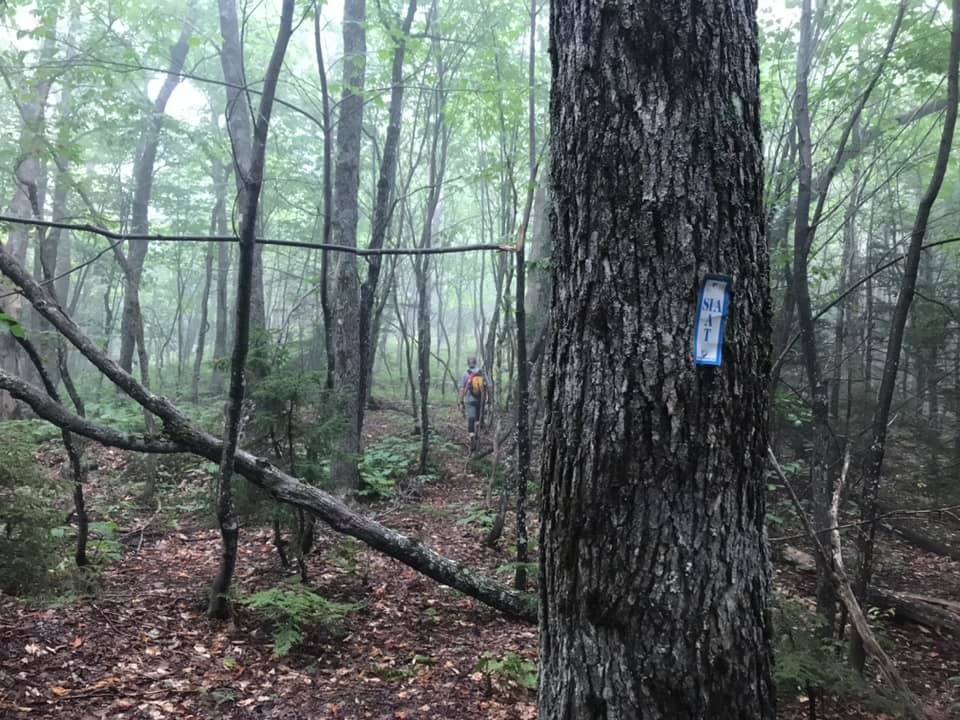
From the Matagamon Gate travel the International Appalachian Trail (IAT) down the Messer Road, this well maintained NPS gravel road goes 3.5 miles to the Haskell Gate. From the Haskell Gate take the IAT towards the Haskell Hut (1.3 miles) and the the Haskell Deadwater campsite (0.7 miles), before eventually reaching the Pond Pitch Campsites (0.4 miles) and finally the Grand Pitch (a large waterfall and gorge on the East Branch of the Penobscot River) and the associated IAT Lean-to (0.6 miles). The trail to these is a well maintained fairly flat closed forest road with occasional markings and signs for the IAT. Proceed past the Grand Pitch Lean-to and privy on the mostly double track IAT to the Bowlin Bridge, this suspension bridge provides access to the Private Bowlin Camps Lodge and Store which are the only services on the trail. The 0.1 miles Bowlin Bridge spur trail is also the last time the trail is directly adjacent to the Penobscot for easy water access. The IAT continues past the bridge on an abandoned logging road for 3.2 miles until you reach the junction with the Old Telos Tote Road. This junction is just past the Little Spring Brook which is a large stream which has good water access.
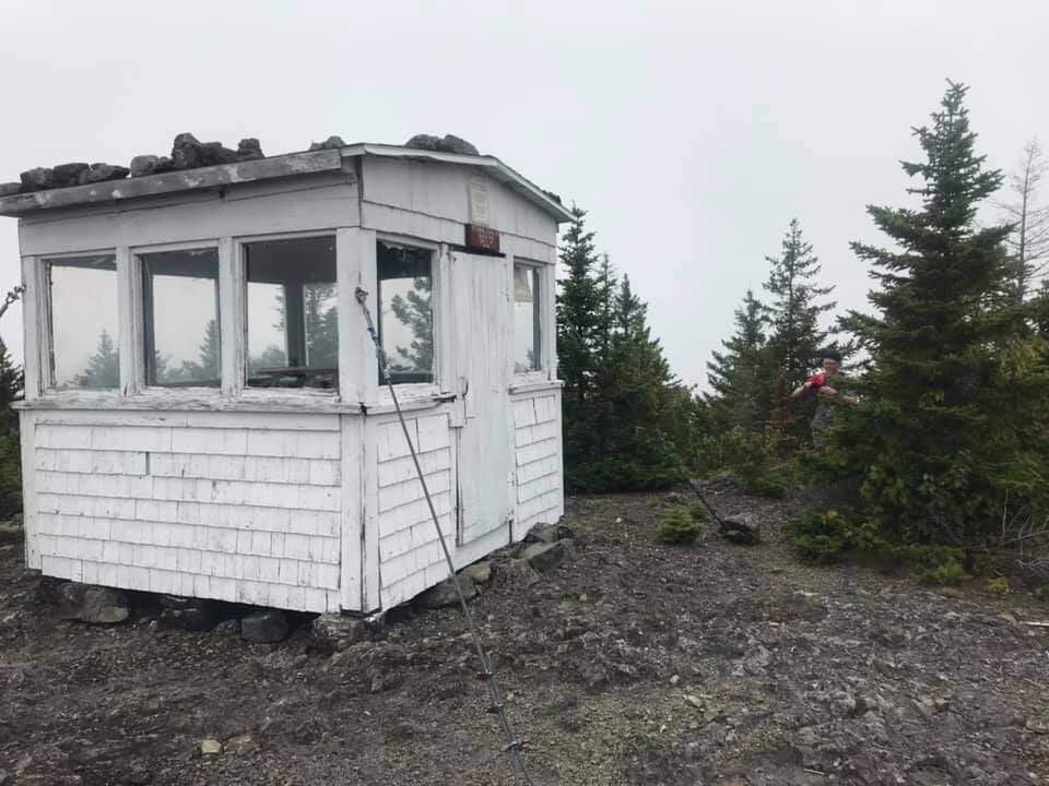
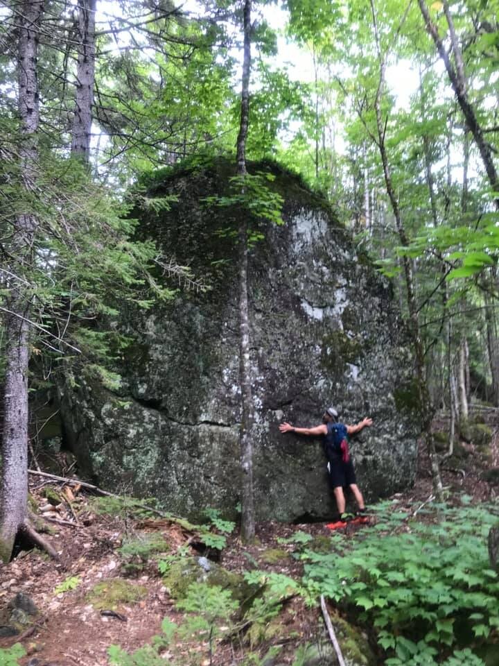
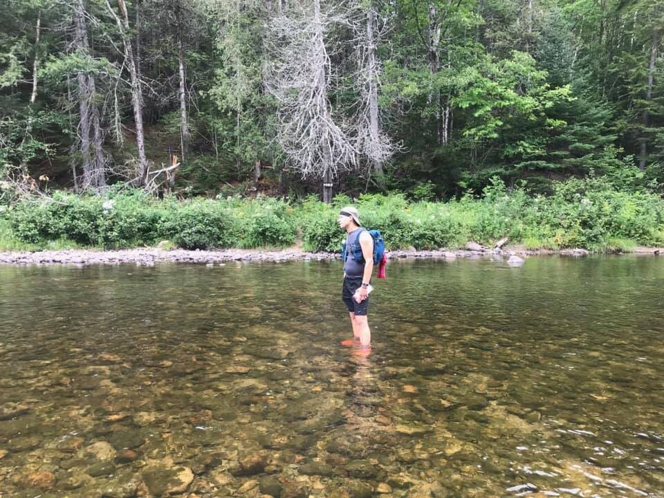
At the junction with the Old Telos Tote Road take the IAT up and around Little Spring Brook Mountain on the abandoned Messer Pond Road. The 4.8 miles to the Lunsoos Lean-to is very abandoned and has very few trail markers, in some areas the trail is so overgrown with small trees that it hardly looks like a road or trail. After the first small stream there is no reliable water source between Little Spring Brook and the Lunksoos Lean-to. At approximately 4.3 miles the IAT turns from the Messer Pond Road and continues up an inclined double track 0.5 miles to the Lunksoos Lean-to. For the next 7 miles from the Lunksoos Lean-to until the Wassataquoik Ford the trail changes in character from abandoned logging roads through young forests to a well marked single track trail over the Monument’s two tallest peaks, Lunksoos Mountain (1811 feet) and Deasey Mountain (1942). Both peaks have open rocky tops and have spectacular views. There is an old fire lookout building accessible to the public down a 0.1 mile spur trail on Deasy Mountain. The ascent and descent up these peaks is steep and rocky but relatively short. At the base of Deasey Mountain the trail passes the remains of a collapsed Fire Warden’s Cabin and continues as a fairly level mostly single track trail past the impressively large rock called Earl’s Erratic, from there it is 2 miles of lovely single track to the Wassataquoik Ford. The Ford is approximately ~100 foot wade through a shallow (mild calf to knee deep) fairly even cobble-bottom stream; it could be deeper during wet seasons and is listed as prone to flash floods.
Beyond the ford the trail changes to a closed gravel forest road for the remainder of the journey. Just past the Ford is a 0.3 miles spur trail to the Orin Falls Road Parking Area where one could easily cache supplies for a self-supported traverse. The route and IAT however continue the other way, 0.6 miles to the IAT Wassataquoik Lean-to on the gated Wassataquoik Stream Road. From the lean-to it is 0.5 miles until the IAT turns onto the Barnard Mountain Trail which is a recently abandoned and closed logging road. The Barnard Mountain Trail travels up the mountain at a gradual but relentless slope for 2.5 miles. The route bypasses the summit but passes a 0.5 miles spur trail to the peak of Barnard Mountain, which is the third tallest peak in the Monument. Four-tenths of a miles past this spur trail, a crossroad is reached and the IAT turns and descends 0.7 miles down the mountain on a well maintained but gated logging road to the Katahdin Brook IAT Lean-to before ascending again and junctioning with the NPS Katahdin Loop Road at the official parking area for the IAT just before mile marker 12 of the Loop Road.
At the parking lot depart the IAT, and travel 7 miles down the NPS Katahdin Loop Road to just past mile marker 5. At the sign marked “Authorized Vehicles Only” take the Kelloch Mountain Road 1.5 miles southeast to the locked maintenance gate at the southern boundary at the southeast corner of the National Monument. We were able to get special permission from the National Park Service to park overnight off the road at the junction of the Kelloch Mountain Road and the Loop Road.
More details and maps of the route at these sites:
National Park Service: https://www.nps.gov/kaww/planyourvisit/maps.htm
Maine International Appalachian Trail: https://maineiat.org/the-trail/
FKTs