NOTE: DO NOT SUBMIT AN FKT UNLESS YOUR TIME IS FASTER THAN THE FASTEST TIME. THIS IS NOT A LEADERBOARD BUT A TRACKER FOR THE FASTEST TIMES IN EACH CATEGORY. WE RECEIVE MANY SUBMISSIONS THAT ARE SLOWER THAN THE CURRENT FASTEST TIME IN THE RESPECTIVE CATEGORY AND THESE WILL BE AUTOMATICALLY REJECTED.
OBSERVAÇÃO: NÃO ENVIE UM FKT A MENOS QUE SEU TEMPO SEJA MAIS RÁPIDO QUE O TEMPO MAIS RÁPIDO. ESTE NÃO É UM QUADRO DE CLASSIFICAÇÃO, MAS UM RASTREADOR PARA OS TEMPOS MAIS RÁPIDOS EM CADA CATEGORIA. RECEBEMOS MUITOS ENVIOS QUE SÃO MAIS LENTOS QUE O TEMPO MAIS RÁPIDO ATUAL NA RESPECTIVA CATEGORIA E ELES SERÃO AUTOMATICAMENTE REJEITADOS.
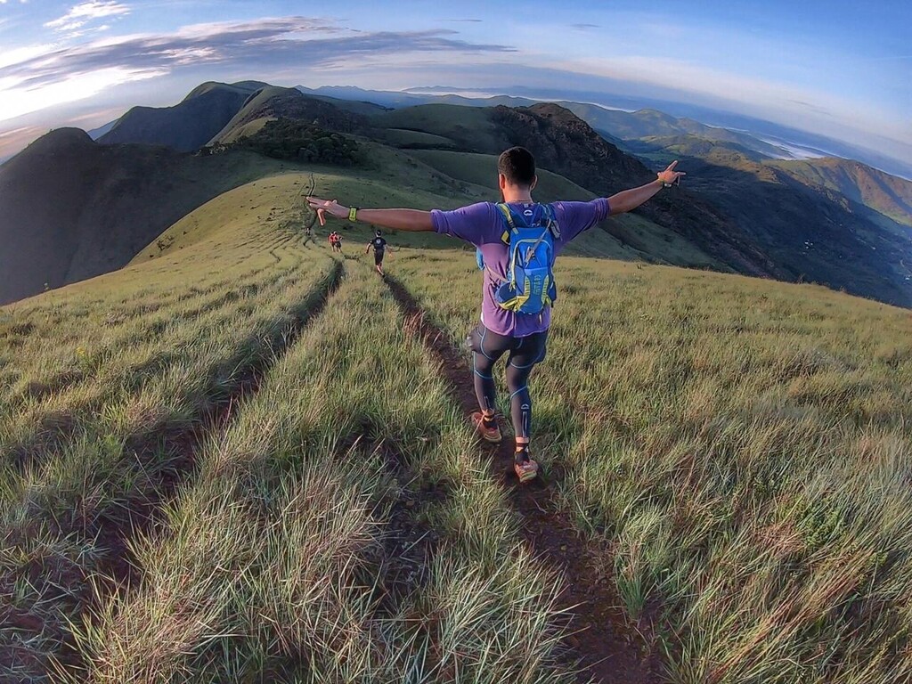
The Travessia Boi Preto is a 50 mile (81 km) route created in the mountains of the State of Minas Gerais just 15 minutes driving from the capital Belo Horizonte. The original route was used by the slaves during the brazilian colonial time interconnecting trails, hand made paths made by slaves and roads between the villages of Moeda Velha and Casa Branca.
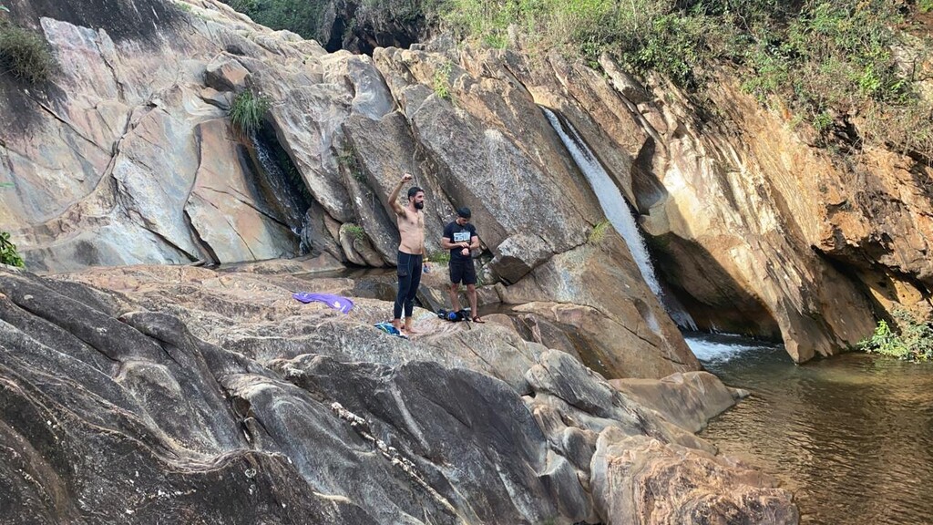
The travessia Boi Preto route begins in the rural area of Moeda Velha, passing in the village of Azevedo, and going of the Mountains of Serra da Moeda. There the runners cross on the crest the whole range and reach the place called Topo do Mundo. From there they have to get around the minery of Pau Branco and pass in the historical village of Piedade do Paraopeba. They will get again the Boi Preto trails and go up the mountains of Serra da Calçada with its XXVIII century ruins and slavery paths and see many small waterfalls. Than you will downhill to Ostra waterfall and get to the Mountain crest of Serra das Andorinhas to Reach the mountains of Serra do Rola-moça. Than you it cross the Serra do Cachorro mountains to get the trails to finally end in Casa Branca historical city.
The 81 km route can be divided has a total elevation gain of 3.970m, with a terrain mixed of pavement roads, dirt roads, slavery paths but most in single tracks.
Manny animals can be seen in the way, like snakes, jaguars and manned wolves.
You can find more details at the website: https://pt.wikiloc.com/trilhas-corrida/travessia-boi-preto-moeda-velha-x-casa-branca-60587490