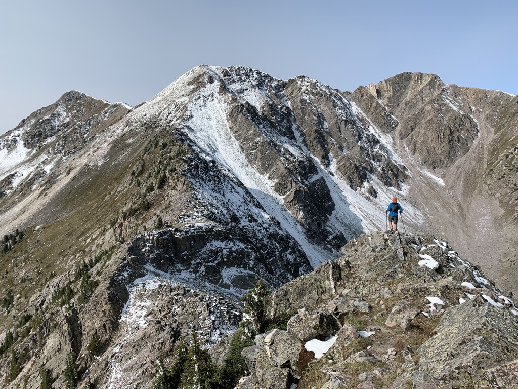
Route: Truchas Peak (NM)

Submitted by peterwgilroy on Mon, 10/26/2020 - 09:48am
Location
New Mexico, US
Distance
27.2 mi
Vertical Gain
6,789 ft
Description

An amazing route to the second highest point in New Mexico and arguably the most prominent and impressive peak in New Mexico. There is no short or easy way into the Truchas peaks. The Santa Barbara Trailhead is easily accessible and the trail going up the west fork is really nice and not too steep. The route starts with 11 miles on a nice trail to the saddle, then a steep climb up to a ridge and about 2-3 miles of really fun exposed ridge scrambling, summiting first North Truchas Peak, then Medio Truchas, and finally to the summit of Truchas Peak, elevation 13,100' (or South Truchas peak) followed by a steep descent to the Truchas lakes and then another 13 miles of good trail back to the car. The Beaty Trail is the main trail, but there is a legal short-cut that shaves about a mile off the route.  It's a super fun marathon distance with some amazing ridgeline scrambling, beautiful singletrack, and awesome summits!

GPS Track