Location
Washington,
US
Distance
24.75 mi
Vertical Gain
3,954 ft
Description
GPS Track
FKTs
Male
Female
Mixed-gender team
| Keith Laverty | 3h 47m 50s |
| Kirsten Casey, Marisa Robba | 4h 32m 30s |
| Tabatha Collins, James Clark | 6h 27m 23s |
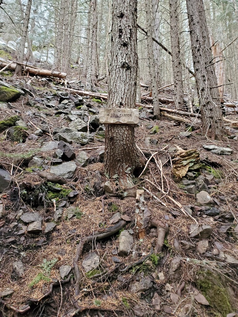
Images