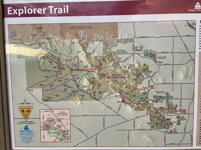
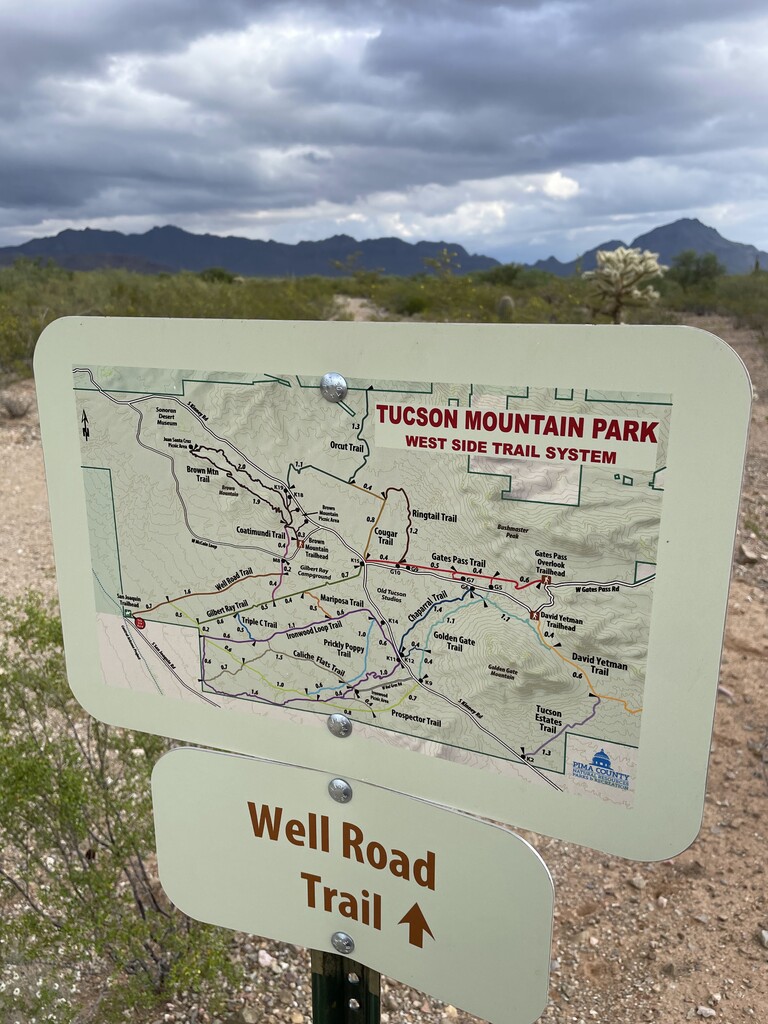
This route crosses Tucson Mountain Park from east to west and back. It starts at the Explorer (easternmost) trailhead marker/map and turns around at the San Joaquin (westernmost) trailhead marker/map, following the most direct and commonly traveled path between the two in both directions.
From east to west, the trails are: Explorer (new), Sarasota, Yetman, Tucson Estates, Kinney, Prospector, and Well Road. Most of the route is well marked, but the Sarasota–Yetman junction is the easiest place to get turned around. The route is mostly runnable, with a few short, steep, rocky sections along the way.
The best opportunity for aid/drop bags is at the junction of Kinney and Prospector trails on Kinney Road, at a pullout on the east (northbound) side of the road. This location allows runners to attempt a supported crossing with little more than a belt and a couple of flasks.
Although the route officially begins at the Explorer trailhead marker on the eastern border of Tucson Mountain Park, most runners will need to park on the east side of John F. Kennedy Park, approximately 0.5 miles farther east, across La Cholla Boulevard.
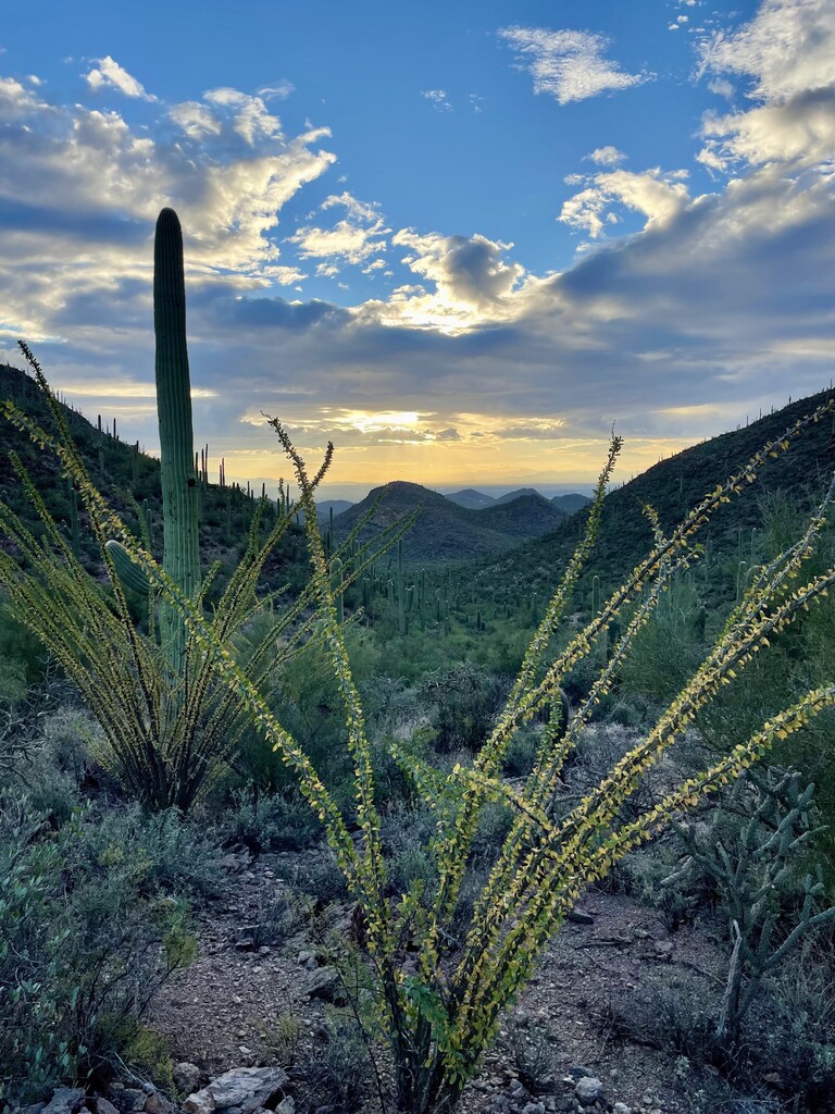
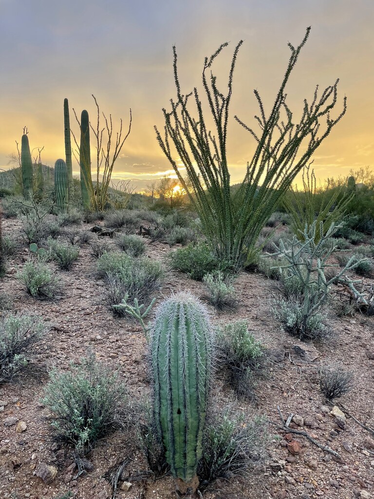
This is an aesthetic line across national park-quality Sonoran Desert, showcasing mountain passes, saguaro cactus, and relative solitude.