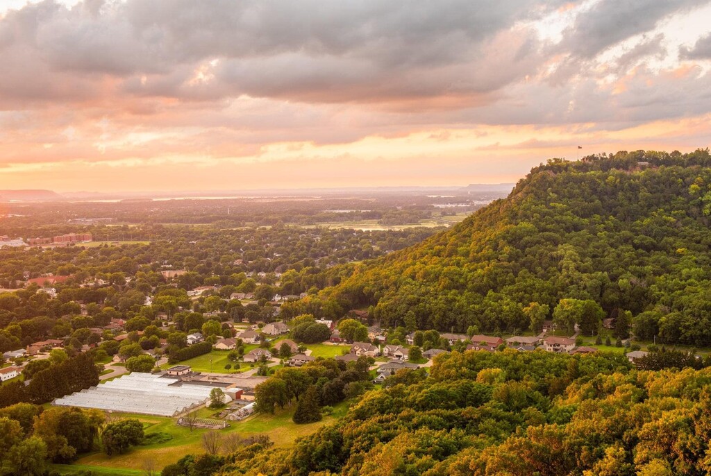
The Driftless Area is a region of unique geological significance in the Midwestern US having never been covered by ice during the last ice age. Unlike the rest of the mostly flat Midwest, the landscape is characterized by steep hills, forested ridges, and deeply carved river valleys, and is bisected by the Mississippi River. This route is located in La Crosse, WI, in the heart of the Driftless Region and spans the largest river in the United States.
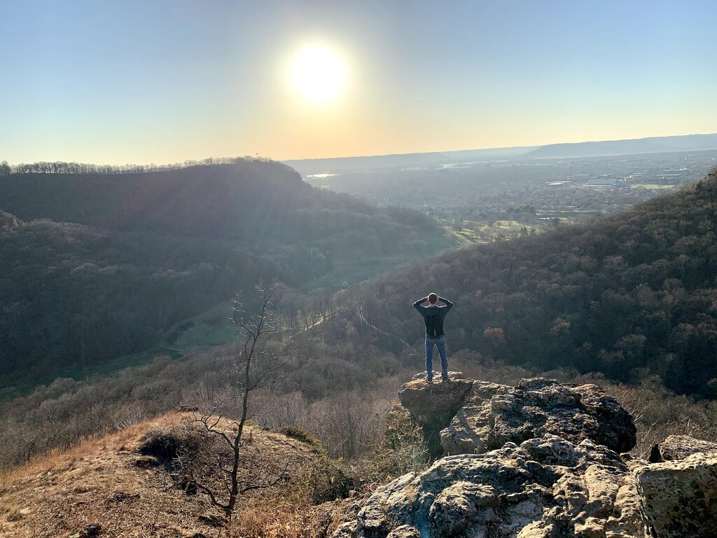
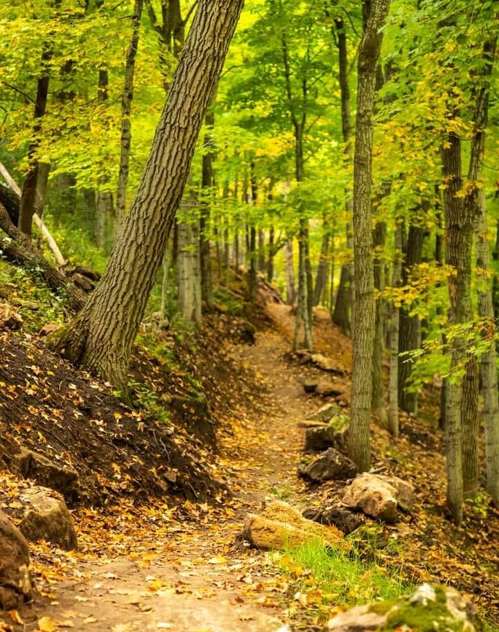
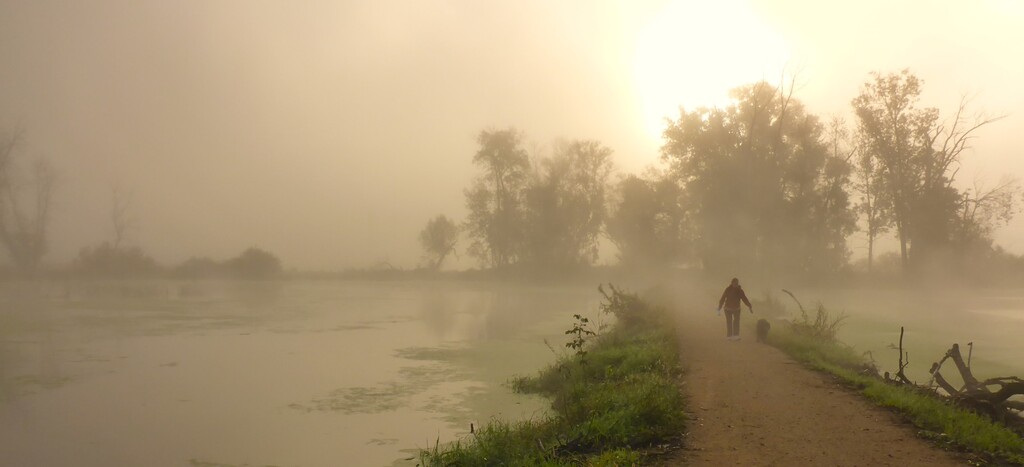
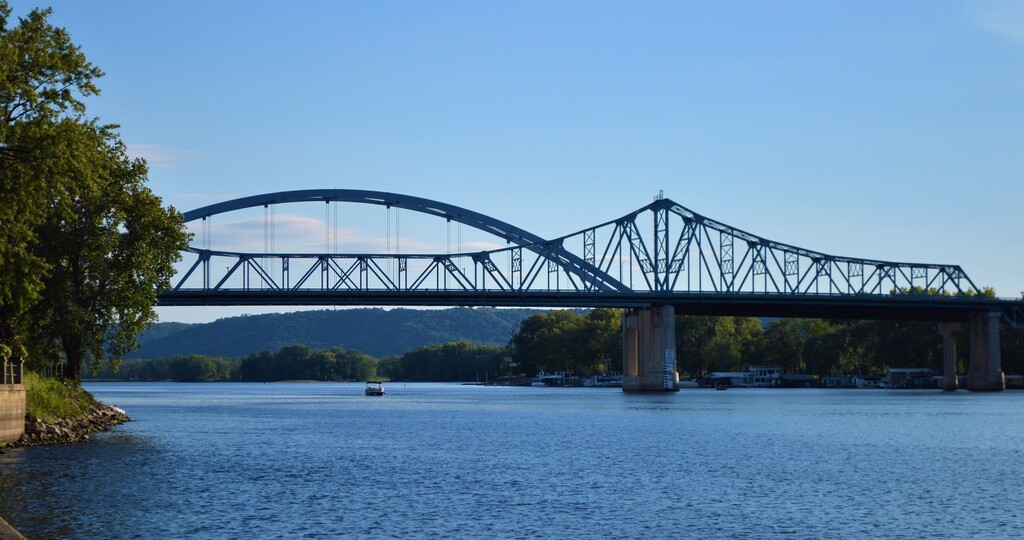
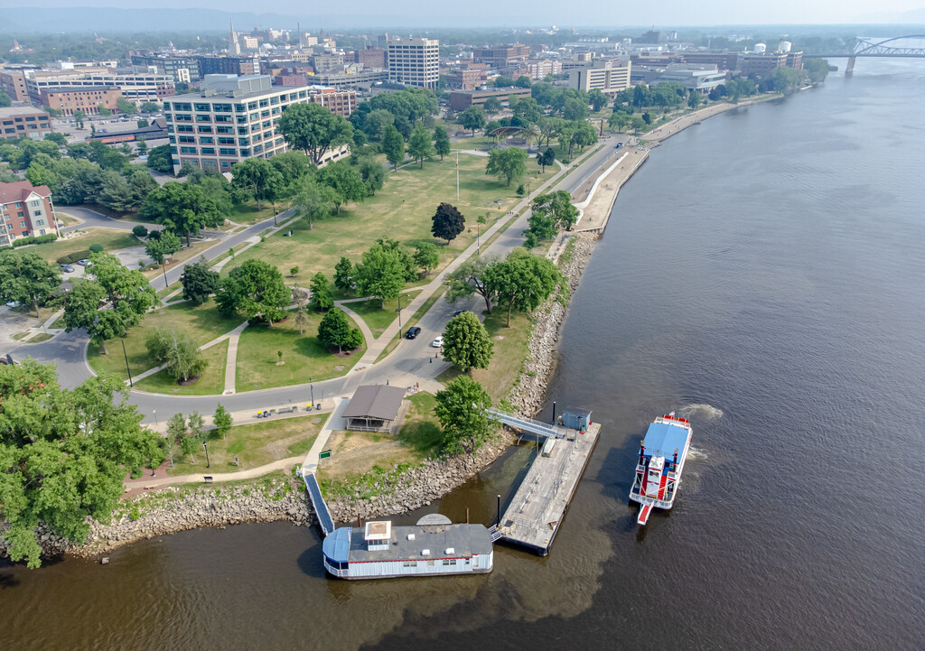
This route begins and ends atop Grandad Bluff, an extremely prominent cliff that towers over the city of La Crosse and offers spectacular views of the area. From there you descend on single track into a wooded coulee before transitioning to bike trails which guide you through a picturesque marsh and across the broad alluvial plain of La Crosse. You then cross the Mississippi River on a 2500ft long bridge and follow a combination of road and bike trails across several islands and into the city of La Crescent, MN. In La Crescent a brief stretch of road leads to a trail network which brings you to the wooded top of Eagle Bluff overlooking the city on this side of the river. After a short loop you return via the same route to finish back on to of Grandad Bluff.
This route offers a variety of scenery and surface. You pass through deep woods, marshland, and city, while running on single track, double track, dirt roads, paved bike paths and roads. Nearly 90% of the route is (87% by my measuring) is off road. The elevation profile provides a unique challenge: the course is mostly flat with two large steep climbs, one at the halfway mark and the largest at the very end of the route. A fast time will require someone that can flat road run quickly and then transition into steep wooded uphills.
The precise start and end of the route is the flagpole on top of Grandad Bluff. The exact path through Riverside Park and Pettibone Park is left to the runner as long as they enter and exit the parks in locations consistent with the gpx. Access to the large bridge across the Mississippi is gained via the stairways on each end.
I am working with the local trail organization to get this route officially recognized: www.oratrails.org has maps of Grandad Bluff and Lower Hixon forest trails.
This page shows the trails through the marsh.
This page shows the trails on Eagle Bluff.