Location
Austria
Distance
50 km
Vertical Gain
3,540 m
Description
GPS Track
route5491824-Venediger_1.gpx84.86 KB
FKTs
Male
| Lukas "Gamsbock" Toma, Benni Brugger | 13h 14m 22s |
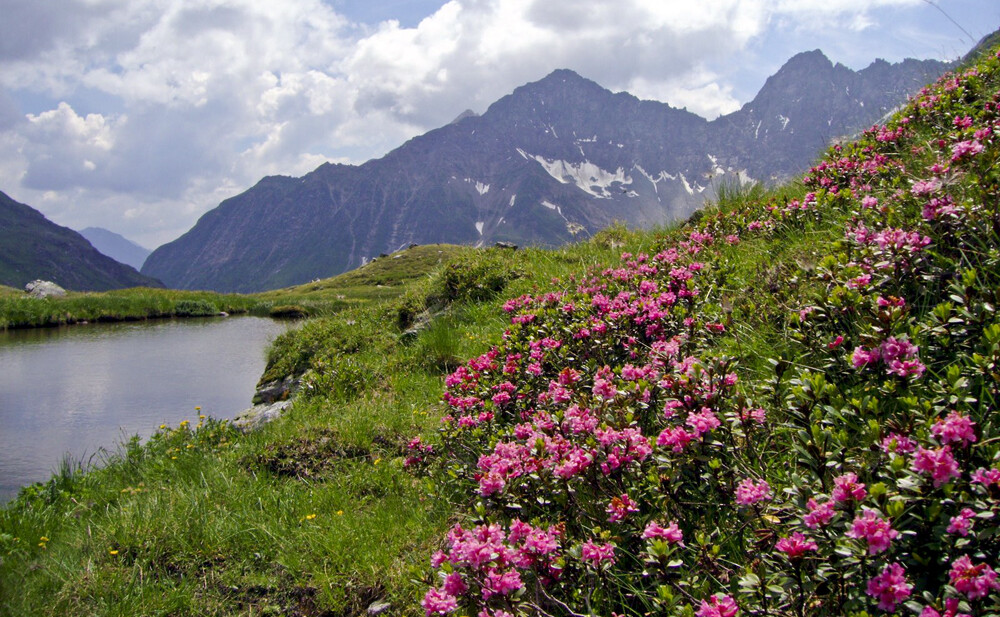
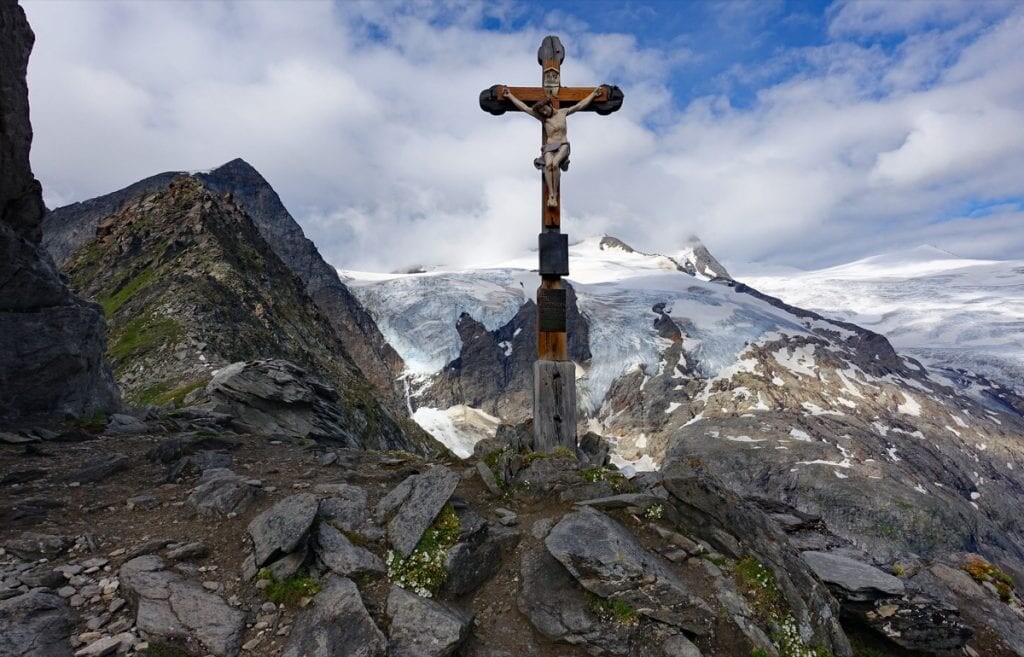
Images