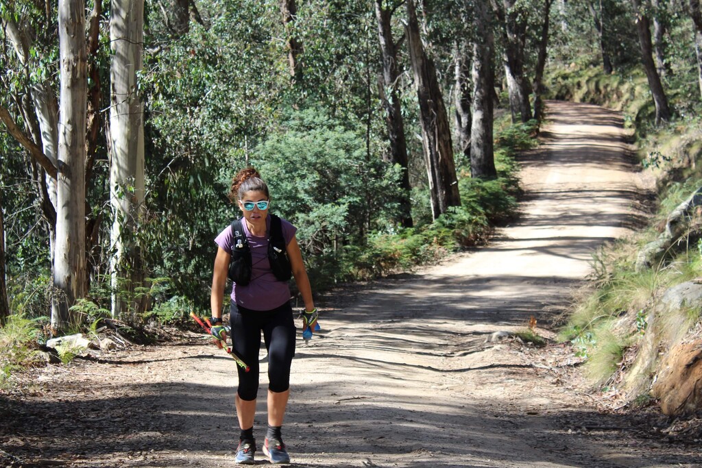
This route takes in 7 of the major peaks in the Victorian High Country. It is a mountainous FKT course that is tough and showcases the amazing Victorian high country. This course is a journey, a point to point that involves tough, technical terrain, variable weather and a variety terrain. It has it all; steep climbs, gnarly descents and flats that seem to hurt more than the climbs! This FKT replicates more of the 'round' style of runs in the UK. I want to challenge runners to get off the beaten track of FKT courses here in Victoria and to experience nature at its best. It is long so involves strategy in regards to timing of sleep, which adds an extra dimension to the challenge.
Peaks:
- Mt Bogong (1986mt)
- Mt Mckay (1894mt)
- Mt Hotham (1861mt)
- Mt Feathertop (1922mt)
- Mt Buffalo (1723mt)
- Mt Stirling (1749mt)
- Mt Buller (1805mt)
These are all iconic and popular mountains within the state of Victoria. There are several trail races that link up a few of these summits but nothing that links up all of them.
Route:
Starting at Mountain Creek campground, just outside of Mt Beauty, the course climbs up a steep single track to the top of Mt Bogong, which, at 1986mt is the highest peak in the state of Victoria. From there, the course follows the exposed ridgeline which is part of the Australian Alps Walking Track (AAWT) to the Village of Falls Creek. This is a major ski Field in the Australian Winter. The course cuts through the village and up to the summit of Mt Mckay (1849mt). Then the course winds down the mountain and rejoins the AAWT. It then follows the single track down a steep descent to Cobungra Gap followed by a steep ascent to Mt Hotham (1861mt).
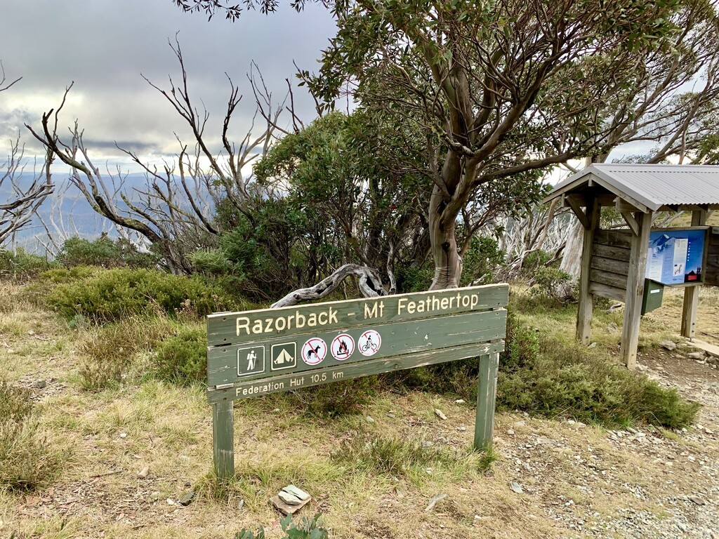
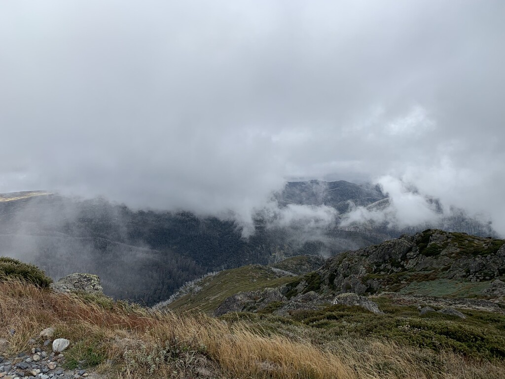
After the summit of Mt Hotham, the course heads along The Razorback, which is a technical and rocky ridge line that rises to the summit of Mt Feathertop which at 1922mt is the second highest peak in Victoria.
From Feathertop there is a 10 km downhill to the town of Harrietville. Followed by a 36 km road section that brings the course to the base of Mt Buffalo known as the Eurobin Picnic area. A combination of single track, walking track and road of 22km takes the runner to the summit (known as 'The Horn' (1723mt)). Return along the same course back to the Eurobin Picnic area.
A short 7km section takes you up and over Keatings Gap to Buckland Valley Rd. This follows the Buckland River for approx 22km before a right turn takes you on to Scotchman Creek Track. This is a 4WD track that will take you across the Yarrarabula Remote and Natural Area to Abbeyard.
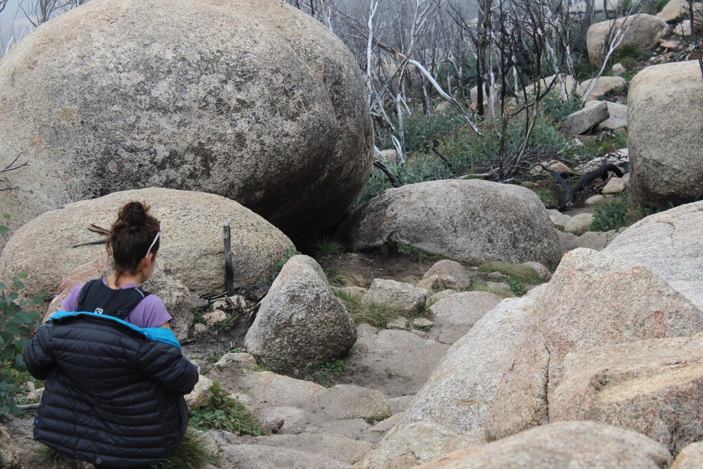
Linking up with Cobbler Lake Track (more 4WD track) the course follows this through the Dandongadale Remote and Natural Area to Cobbler Lake, a spectacular mountain lake nestled in between high mountain peaks. Continuing past the lake to Mt Speculation Track, there is a 10km down to King Hut. Turning left just before the hut will take you up a steep disused 4WD track and pop you out onto Circuit Rd. This is a dirt road that circles Mt Stirling. turning right you will continue on this road until you reach Clear Hills Track (4WD). Turning left this will take you to the iconic 'Craigs Hut'. Continuing past this will take you up towards the summit of Mt Stirling. Turning left onto Howqua Gp Trail will see you circle the summit for about 1km before you turn right onto the summit access trail. this will take you to the summit of Mt Stirling (1749mt). back down the summit access track and back onto Howqua Gap Trail and follow this down the hill to Howqua Gap Hut.
From here you go straight across Circuit Rd and up Woolybutt Track. Sticking to the walking track, this will merge onto Corn Hill Track and pop you out onto Corn Hill Rd. Turning right onto the dirt road for 500mt and the left through the parking lot and up the Split Rock bike track. This will pop you out onto the Village Circuit trail. Turn off this trail at the Southern Cross Lodge and go through the village square. Take the Athletes walk up the hill to Summit Rd and continue up the hill towards the summit. This road will take you past the snow making dam to the summit car park. Continue through the parking lot and up the summit trail to the summit of Mt Buller (1805mt). You have finished!