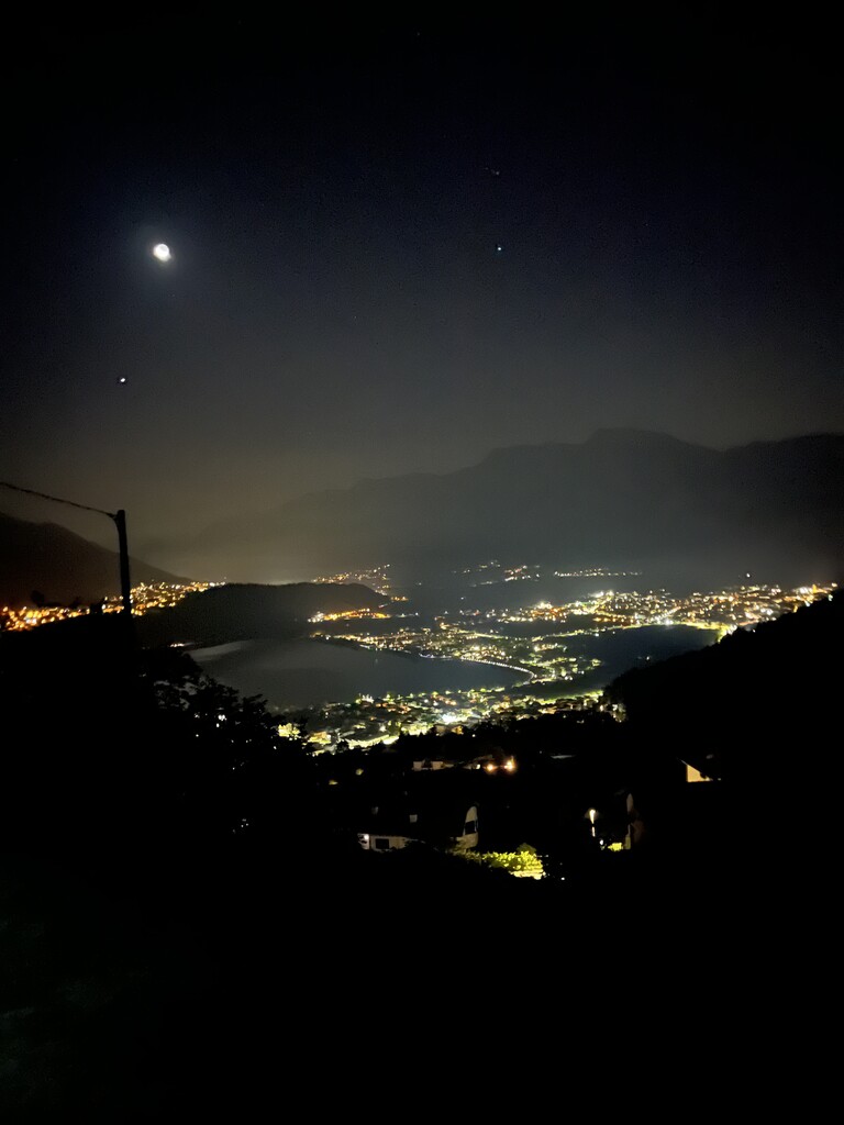
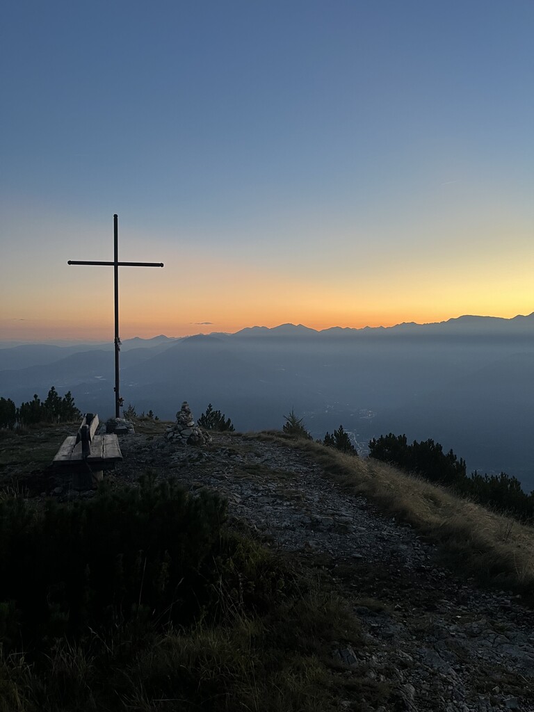
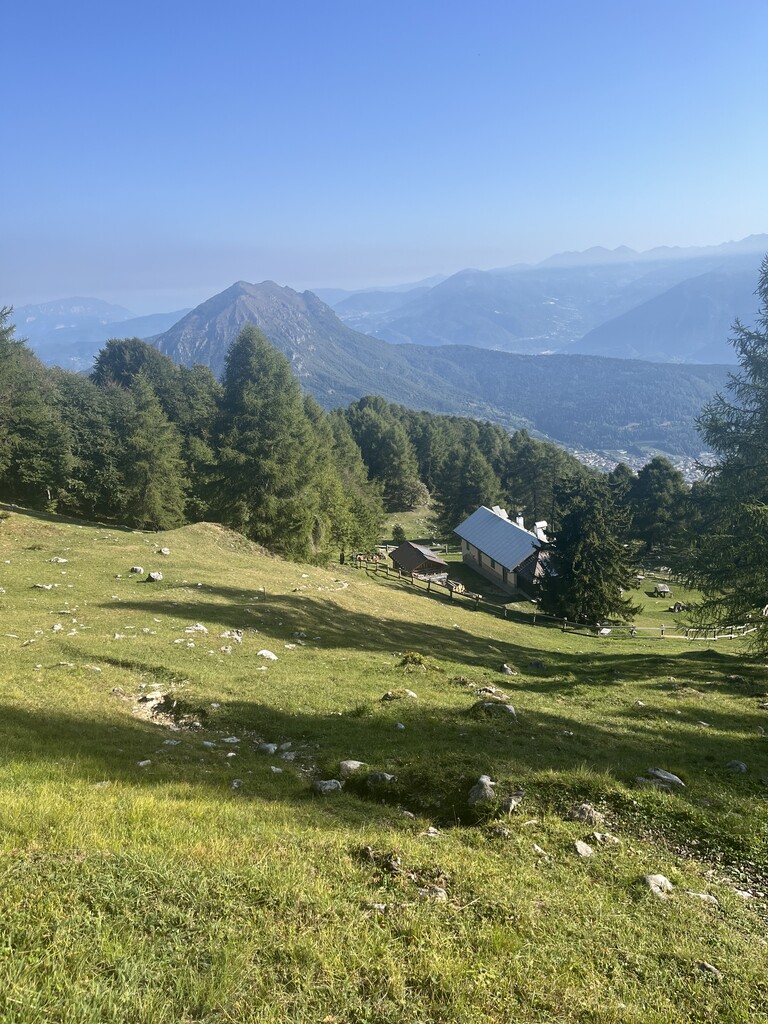
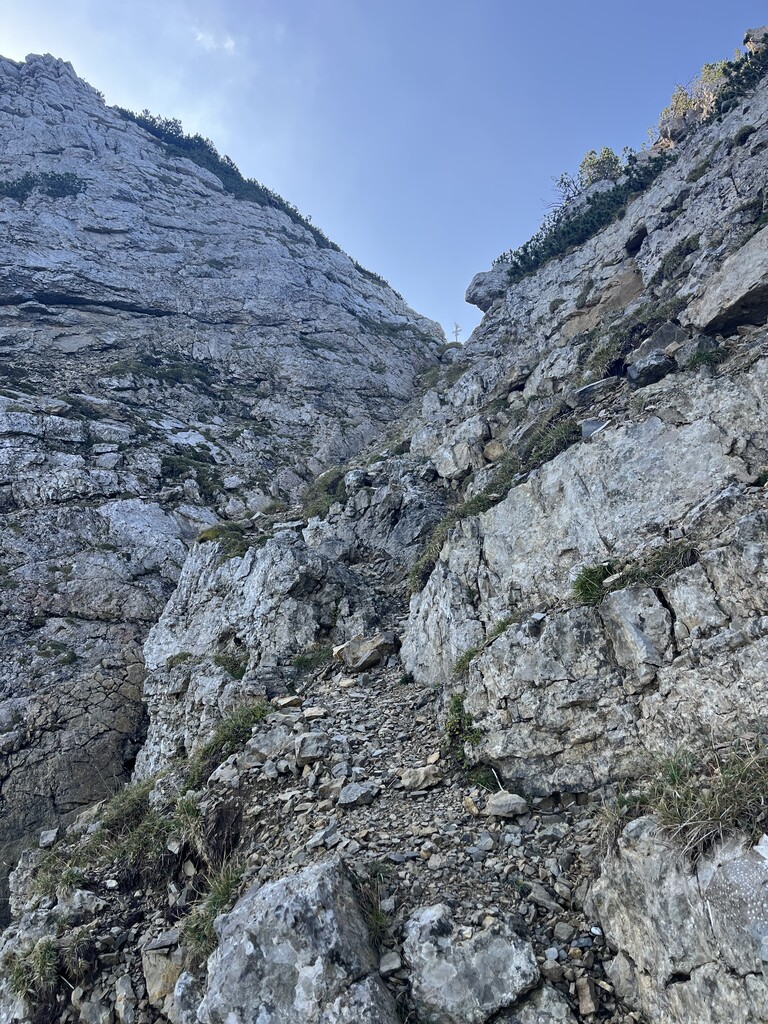
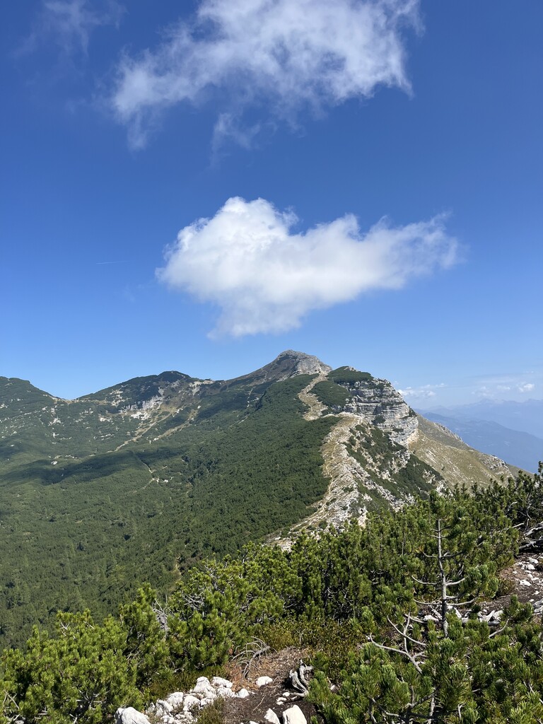
The Vigolana Trans Ultra starts from the village of Bosentino, ascends along a drivable forest road to Piani di Susà. From there, a single track leads to the north summit of the Marzola, and then to the south summit, passing along the panoramic ridge. From there, the route descends to the Maranza refuge and then rejoins a drivable forest road towards Vigolo Vattaro. The route climbs back up towards Piani di Susà, but at Terre Rosse, it descends to the right towards the village. From Vigolo Vattaro, climb the Vigolana massif, passing Fornas Fort, Malghetta di Valsorda, and Doredondo, all the way to Sas de L'Aquila. Descend about a hundred meters to Malga Derocca, then ascend to Cima Vigolana along the equipped trail, cutting across the Lavinella gully. From the summit, descend along the ridge to Becco della Ceriola, and from there descend toward the Imprech, Palazzo, and Valli huts, then ascend Becco di Filadonna, again along the ridge to Cornetto di Folgaria, and then descend along the old ski slopes to Costa di Folgaria. From there, climb to Passo Sommo and take the paved road that leads to the hamlet of Perpruneri, where the water trail begins. This trail, about 5 km long, leads to Carbonare, where the final climb to the summit of Cornetto begins. From there it's all downhill to the Fricca pass, then Centa San Nicolò, Vattaro and arrival in Bosentino.