Inspired by the Baselbieter anthem, this ultra route crosses the canton of Basel-Landschaft.
The second part, “vom Bölche bis zum Rhy,” leads from the Belchen region down to the Rhine, linking the canton’s highest ridges with its lowest point and highlighting the full vertical diversity of Basel-Landschaft.
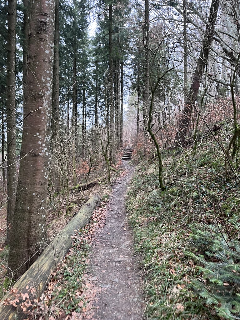
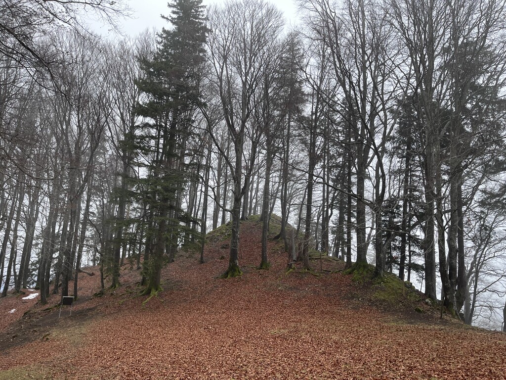
From the Bölche to the Rhine, the route starts at Läufelfingen railway station and follows romantic trails along rocky ridgelines. A steady climb leads to the Belchenflue (1,098.9 m), offering a unique panoramic view over the region.
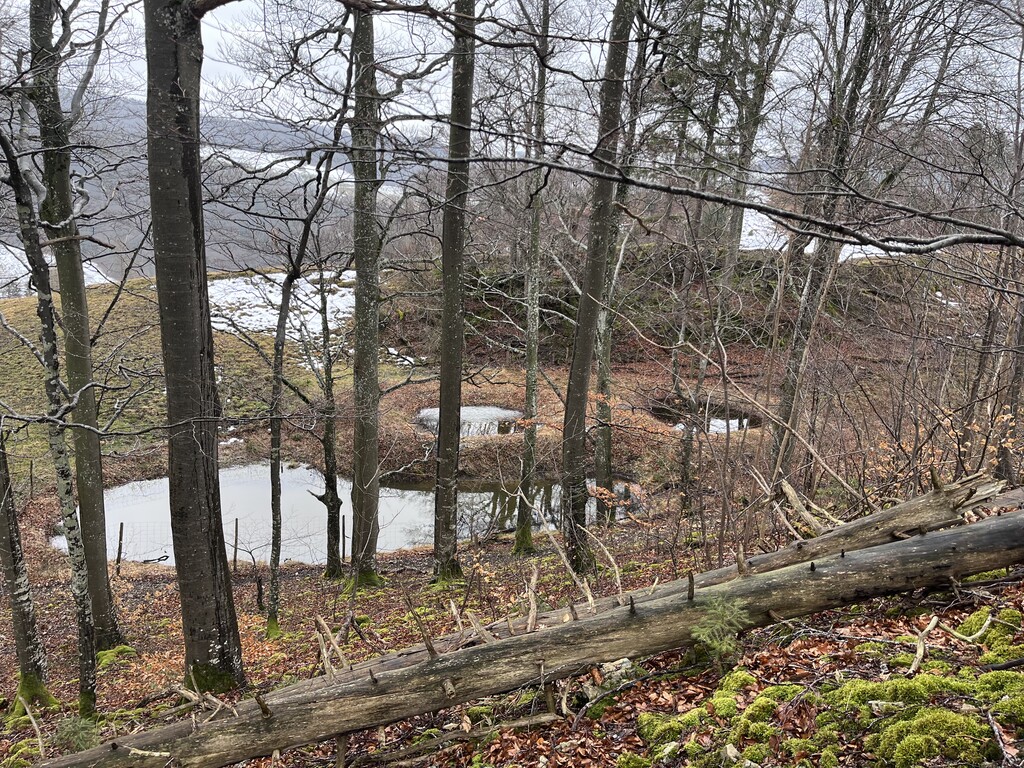
The course continues on beautiful single trails, mostly along hiking paths, through forests and open terrain. Numerous fountains and refreshment opportunities are available along the way.
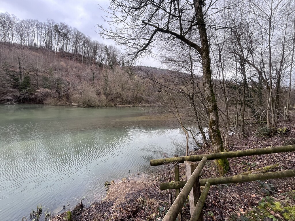
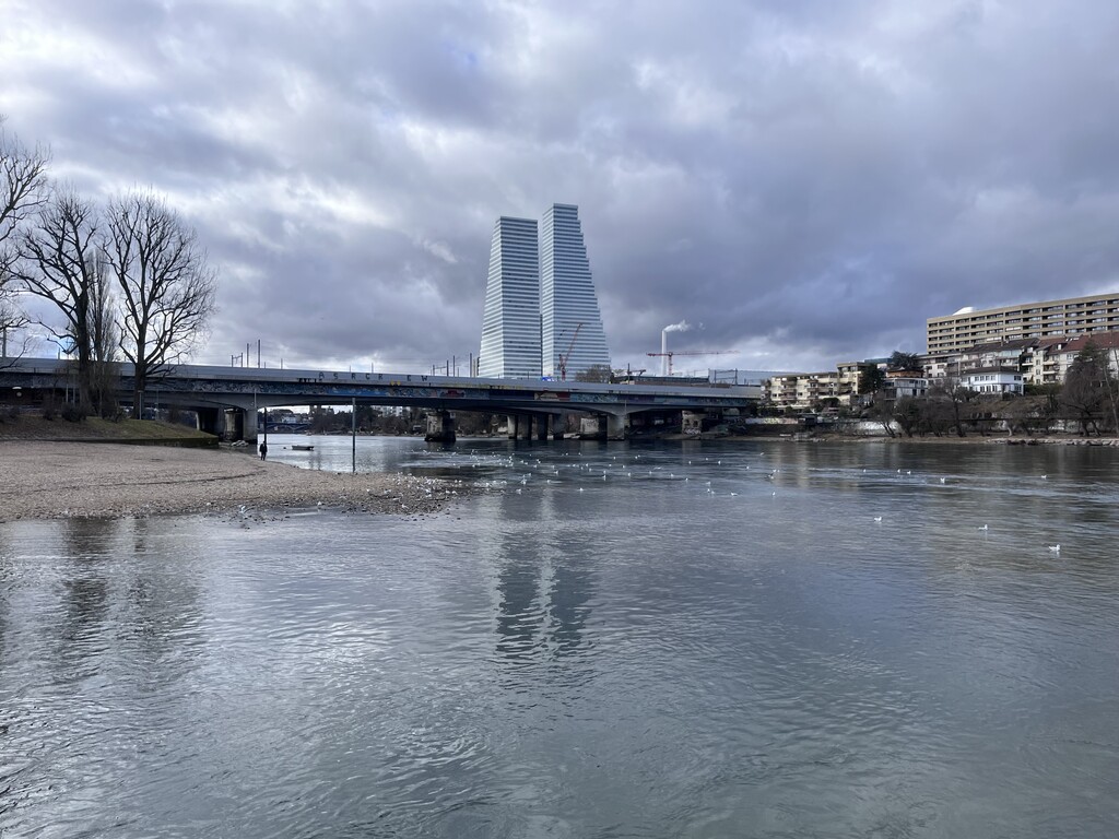
The route descends towards the lowest point of the course in Birsfelden, where the Birs flows into the Rhine.
📏 Distance: 43 km
⛰️ Elevation gain: 1,400 m
⬇️ Elevation loss: 1,700 m
🏁 Start: Läufelfingen
🔝 Highest point: Belchenflue (1,098.9 m)
🔻 Finish at Lowest point: Birsfelden – Rhine confluence (246 m)