The Walk The Yorke Trail is a 500km point to point trail following the rugged yet beautiful coastline of the Yorke Peninsula in South Australia.
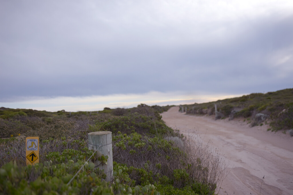
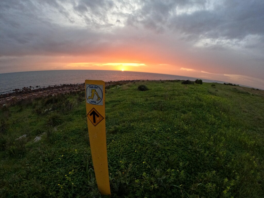
Over the 500km trail you'll experience various terrain and sights the whole way. Starting at the first WTY section information board at the caravan park in Pt Wakefield and finishing at the last WTY section information board at Moonta Bay, just past the jetty. You'll be waiting with anticipation to see what's around every next turn!
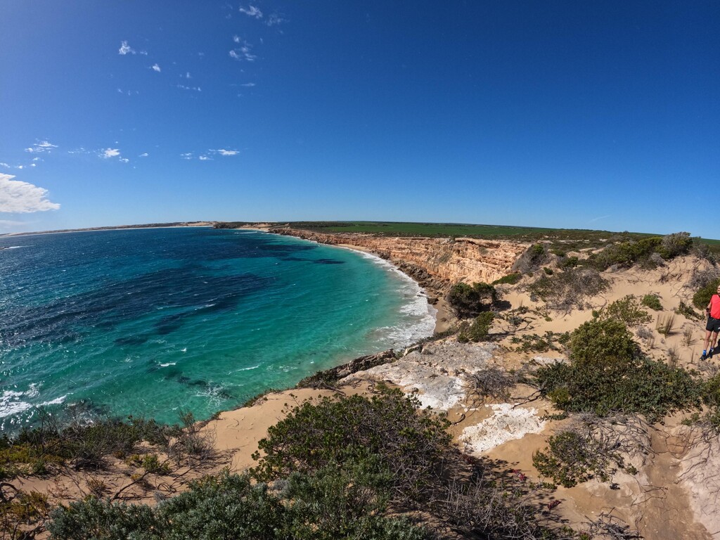
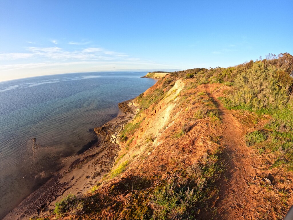
From trail and gravel roads passing by crops and farmland as far as you can see to simply breathtaking single track along the limestone cliff tops, tracks through scrub land, saltpans, the streets of many local towns and sandy beach sections that vary depending on tide and weather.
Every section is different from the last, providing different sights and challenges. Along the way you'll come across information boards with interesting facts about the history of the Yorke Peninsula to get a deeper understanding of what the land has been and is being used for. Including info about the native flora and fauna throughout different sections.
There are also 10 topographical maps available for purchase from the Yorke Peninsula council that provide handy information and key points along the trail including things like camp sights, toilets and other things that will come in handy. I personally used these maps as my main way of navigation during my FKT and found them to be extremely helpful.
For more information about the trail and surrounding areas I've put a link below to the Walk The Yorke website.
This trail was the most challenging and amazing journey I've ever done and would highly recommend anyone to go walk, run and explore what the trail has to offer!
https://yorkepeninsula.com.au/walk-the-yorke