Warszawska Obwodnica Turystyczna (Warsaw Tourist Ring Route) (WOT) is a tourist route running around Warsaw. Most of the trail is the red trail, which totals about 204km and consists of three parts:
- Northern part: Modlin - Rembertów (62.7 km)
- Eastern part: Rembertów - Zalesie Górne (75 km)
- Southern part: Zalesie Górne - Zaborów (66.6 km)
- Western part: fragments running through the Kampinos National Park, marked with the blue (to Leszno), yellow (to Teofile-Las) and green (to Modlin) (38.7 km) trails
WOT has a total of 244 km of routes.
https://pl.wikipedia.org/wiki/Warszawska_Obwodnica_Turystyczna
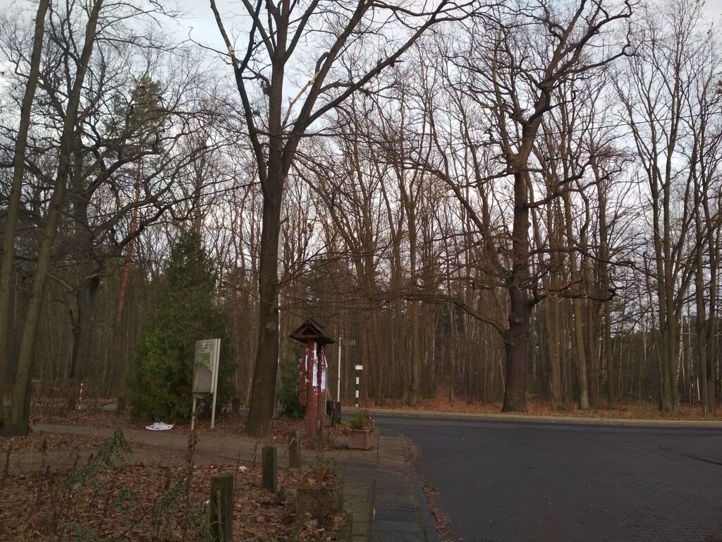
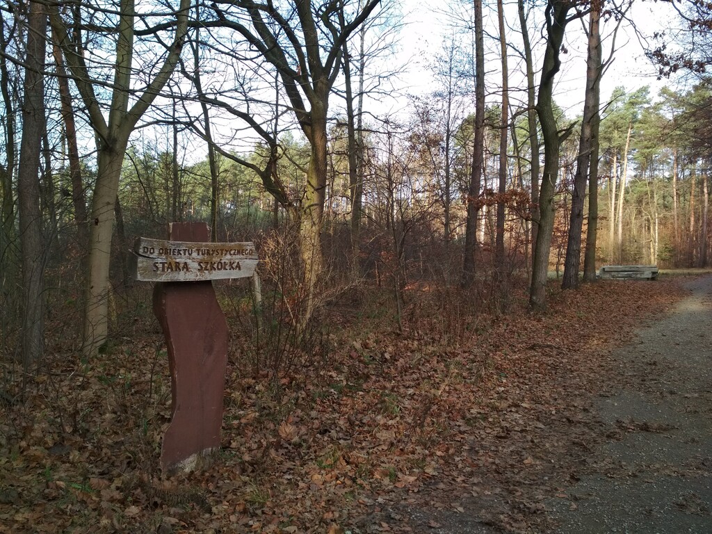
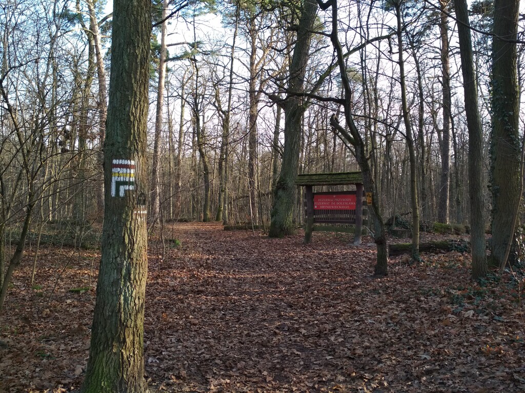
WOT: Southern part (Zalesie Górne - Zaborów) - it is a part of the Warsaw Tourist Ring Road running from the Zalesie Górne railway station to Zaborów, along the red trail 66.6 km in total, south of Warsaw.
On the route there are several forest complexes surrounding Warsaw: Chojnowskie Forests, Chotomowskie Forests, Drewnickie Forests, Nadarzyńskie and Sękocińskie Forests, Nieporęckie Forests, and Otwock and Wawer Forests. The most valuable part in terms of nature is the fragment running through the Kampinos National Park. On the WOT route there are, among others Chotomów, Nieporęt, Rembertów, Wiązowna, Otwock Wielki, Góra Kalwaria, Podkowa Leśna, Brwinów, Zaborów and Leszno.
https://mazowsze.szlaki.pttk.pl/116-pttk-mazowsze-warszawska-obwodnica-turystyczna
WOT: Western part (Zaborów - Nowy Dwór Mazowiecki) - it is a part of the Warsaw Tourist Ring Road running from the Zaborów bus station to Nowy Dwór Mazowiecki, along the blue/yellow/green trail 42,3 km in total, west of Warsaw.