The Wayfarer's Walk is a 71 mile long distance footpath from the Combe Gibbet on the Inkpen Beacon (Berkshire) to the Emsworth Slipper and Sailing Club in Emsworth (Hampshire). The route is characterised by wooded and open chalk-and-flint pathways, grassy downs and fields mostly used for growing cereal/vegetables or grazing cows/sheep, little farms/villages/towns, some tarmac road, paths by the side of rivers, and mud flats and salt marshes along the coast of Hampshire. In parts, the Wayfarer’s Walk is based on old tracks that were used by farmers to drive their sheep to animal fairs held in New Arlesford (on the route) and Farnham (off the route). The walk was initiated in 1981 by Bill Bide, Principal Officer for Rights of Way in Hampshire.
Notes on the route:
- The Wayfarer's Walk is approximately 115km and has about 1500m of ascent (North to South).
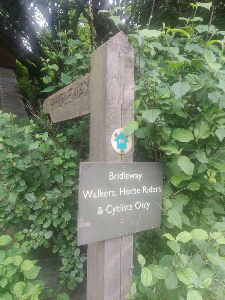
- The route is reasonably well sign posted with the distinctive green or blue Wayfarer’s Walk waymark (interwoven WW) and the occasional fingerpost.
- There is no marker for the start at the Combe Gibbet. There is a car park 500m from the start.
- There is no marker for the finish at the Emsworth Slipper and Sailing Club.
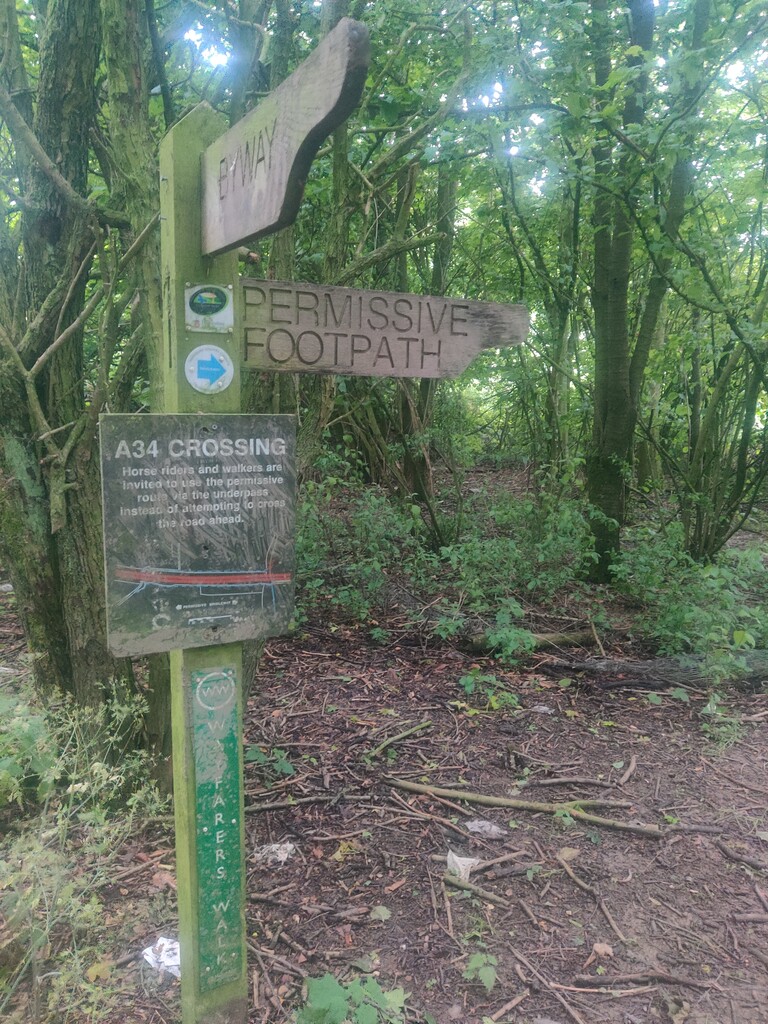
- The A34 can be crossed if traffic permits. There is, however, a permissive footpath with an underpass (1.3km diversion).
- The OS map shows the Wayfarer's Walk to pass through Bulls's Bushes Copse (near Oakly). However, the Hampshire Council maps and the way markers on the ground show the Wayfarer's Walk to pass around it. Both paths are roughly equal length (<100m difference).
- At places tracks and way markers on the ground diverge from the OS map. The discrepancies seem to be within 200m and the GPX here primarily follows way markers.
Places of interest along the route (North to South):
- Combe Gibbet (and start of Test Way)
- Walbury Hill (Iron Age hillfort of Walbury Camp)
- De Havilland Memorial Stone
- Ladle Hill (Iron Age hillfort and SSSI)
- Watership Down
- Portway/Caesar's Belt (Roman Road)
- Fulling Mill and Eels House (New Arlesford)
- Mid-Hants Railway Watercress Line
- Hinton Ampner House (National Trust property)
- Source of the River Itchen
- South Downs
- Fort Purbrook
- Warblington Castle (ruined)