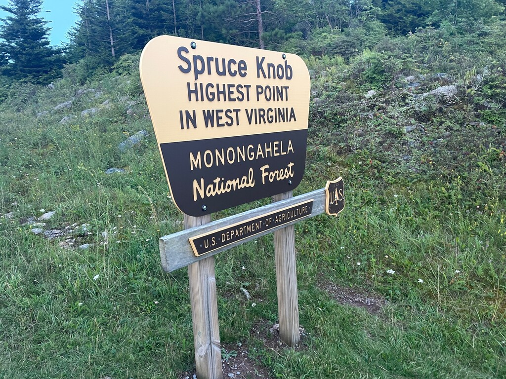
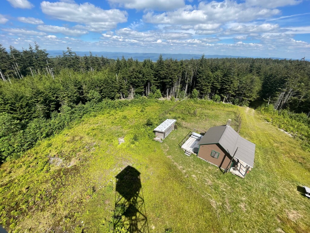
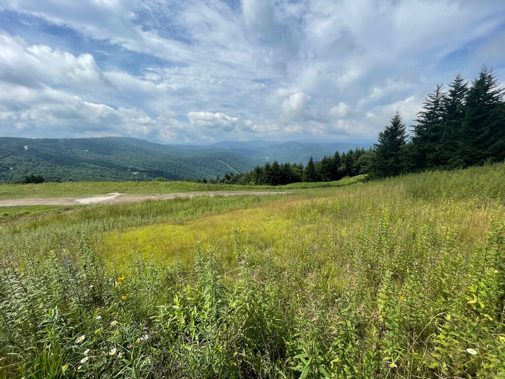
This route completes the 4 highest points in West Virginia (According to PeakVisor.com): Spruce Knob, Cheat Mountain, Thorny Flat, and Bald Knob. Spruce Knob is both the most prominent and the highest mountain in the Mountain State at 4863 feet. It is the highest both in the Allegheny Mountain Range and in the Chesapeake Bay Watershed. Its summit is more alpine than most mountains in the southern Appalachians, and it is densely populated with red spruce. High west winds have flagged trees so that limbs are only found on their eastward side. There is a tower at the high point, but more expansive mountain views are found on the drive in just before the summit and in the open, bouldered meadow just downhill from the overlook. The Huckleberry trail at the top houses dozens of mossy, wooded camping areas for backpackers. Mushrooms, green moss, wild blueberries and raspberries, and wildflowers are plentiful in summer.
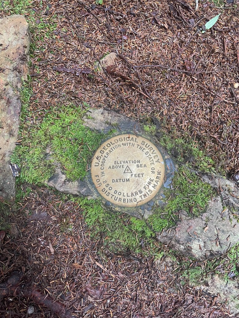
Cheat Mountain and Thorny Flat are equivalent in elevation, coming in at 4859 feet. Both are found in the quaint ski town of Snowshoe, WV. Thorny Flat is a peak of Cheat Mountain itself, further south than the summit named Cheat Mountain. Cheat Mountain's namesake high point is attained on shared mountain bike and hiking trails in the Silver Creek/Snowshoe area. It offers piney, mountainous 180 degree views just before reaching the top of the mountain (which is an unmarked summit). Thorny Flat’s summit benchmark is found by ascending the road on the south end of Snowshoe, entering the woodsy trail carved by mountain bikers and skiers, and winding along an extremely soft, mossy web of trails in the forest. Taking the most well worn trail and using topographical clues will lead to the geological survey marker.
Bald Knob is 4843 feet tall. Its summit is home to a tall lookout tower that provides a 360 degree view. It is the high point of Back Allegheny Mountain. It is a part of Cass Scenic Railroad State Park, and is easy to access on a train stop via the 0.5 mile trail to the top. It is also accessible by driving down the gravel back roads of Snowshoe (provided the gates are open) and crossing Shavers Fork on foot, following muddy, grassy, rocky, and uneven access roads. This option will be an out-and-back that is nearly 9 miles in total with 1300+ feet of elevation gain. The route will cross and be parallel to the train tracks at many points, but it is a remote location far from any drive-able roads.